Click to visit the main New York Public Library Homepage
The New York Public Library
Digital Collections
About Digital Collections
Browse
Search only public domain materials
Items
Collections
Divisions
Home
Search
Browse
About
Search only public domain materials
Items
Collections
Divisions
Digital Collections
Using Images
Using Data
Search
Filtered search
Show filters
Hide filters
Show Only Public Domain
topic
Landowners
50
Real property
47
Administrative and political divisions
16
Villages
7
Cities and towns
6
More
Less
name
Smith, Robert Pearsall, 1827-1898
13
Walling, Henry Francis, 1825-1888
7
J.B. Beers & Co
5
Balch, E. A
3
Beers, S. N
3
More
Less
collection
Maps of New York City and State
35
Maps of North America
19
place
New York (State)
35
Massachusetts
12
Rockland County
4
Rockland County (N.Y.)
4
Yonkers
4
More
Less
genre
x
Cadastral maps
Maps
54
Pictorial works
3
Drawings
1
Illustrations
1
More
Less
publisher
J.B. Beers & Co
5
publisher not identified
4
Smith, Gallup & Co
3
Lee & Marsh
2
Topographical Engineer's Office
2
More
Less
division
Map Division
54
type
cartographic
54
still image
3
Date Range
to
54 results found
Filtering on:
x
Genre
: Cadastral maps
x
Note
: Relief shown by hachures.
Sort by:
Title
Date created
Date digitized
Sequence
m
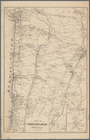
Map of the southern part of W…
A plan of the Manor of Philip…
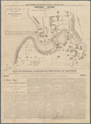
The Meadows: to be offered at…
Plan of an extension of the v…
Town of Greenburgh: Westchest…
Portions of 2nd, 3rd, and 4th…
Portions of 1st, 2nd, and 3rd…
Map of the city of Waltham, M…
Plan of Charlestown peninsula…
m
A topographical map of Lincol…
A map of the original allotme…
A map of the original allotme…
m
Map of the city of Poughkeeps…
Map of the town of Concord, M…
Map of the county of Berkshir…
m
Map of the county of Berkshir…
m
Map of the city of Boston and…
North Berwick: [Maine]
m
Map of Suffolk Co., L.I., New…
m
Map of Tioga County, New York…
m
A topographical map of Lincol…
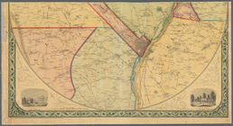
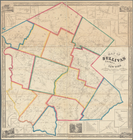
Map of Rockland Co: [New York]
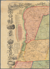
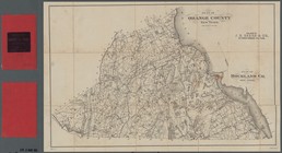
Plan of Orange County, New Yo…
m
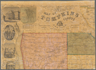
Map of Tompkins County, New Y…
Map of part of Orange County,…
m
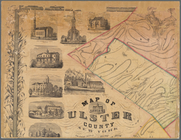
Map of Ulster County, New York
Map of Chenango County, New Y…
m
Map of the vicinity of Albany…
m
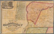
Map of Rensselaer Co., New Yo…
m
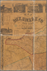
Map of Delaware Co., New York
m
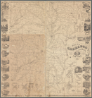
Map of Orange and Rockland Co…
Map of the county of Plymouth…
Map of Franklin County, Massa…
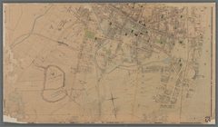
Pencil sketch of Rochester, N…
m
Map of Hampden County, Massac…
m
Clark's map of Fairfield Coun…
Plan of the town of Concord, …
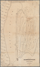
Map of Highbridgeville in the…
Town of Greenburgh, Westchest…
m
Map of New London County, Con…
Map of central portion of the…
Map of Sullivan County, New Y…
Map of Broome County, New York
m
Schuyler County, New York, wi…
m
Map of Rensselaer County, New…
m
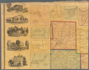
Map of Rockland County, New Y…
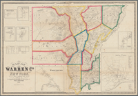
Map of Warren Co., New York
Map of Essex Co., New York
A topographical map of Steube…
m
Map of Cayuga and Seneca Coun…