Click to visit the main New York Public Library Homepage
The New York Public Library
Digital Collections
About Digital Collections
Browse
Search only public domain materials
Items
Collections
Divisions
Home
Search
Browse
About
Search only public domain materials
Items
Collections
Divisions
Digital Collections
Using Images
Using Data
Search
Filtered search
Show filters
Hide filters
Show Only Public Domain
topic
x
Parks
Buildings
8
Local transit
8
Railroads
6
Streets
5
More
Less
name
Poates, L. L
2
American Photo-Lithographic Company
1
Disturnell, John, 1801-1877
1
Dripps, M. (Matthew)
1
Dyckman, Isaac
1
More
Less
collection
Maps of New York City and State
30
place
x
Manhattan (New York, N.Y.)
New York (State)
30
New York (N.Y.)
24
New York
15
Bronx (New York, N.Y.)
6
More
Less
genre
x
Maps
Manuscript maps
3
Cadastral maps
1
publisher
publisher unknown
4
Commission?
2
Matthews-Northrup Co
2
producer not identified
2
publisher not identified
2
More
Less
division
Map Division
30
type
cartographic
30
Date Range
to
30 results found
Filtering on:
x
Genre
: Maps
x
Place
: Manhattan (New York, N.Y.)
x
Topic
: Parks
Sort by:
Title
Date created
Date digitized
Sequence
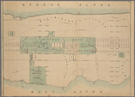
Carl Schurz Park
Park between 35th and 36th St…
m
Riverside Park
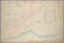
Colonial Park
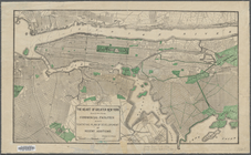
City Hall Park
Sketch map of the city of New…
m
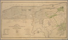
Manhattan borough and part of…
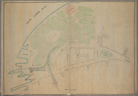
Map of Morningside Park
Manhattan borough and part of…
The heart of greater New York…
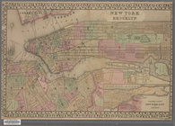
New York and Brooklyn
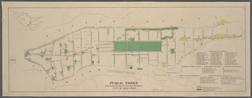
Public parks boroughs of Manh…
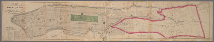
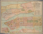
Map of the City of New York /…
m
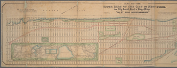
Map of the upper part of the …
m
Hammond's standard map of the…
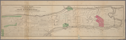
Guide map to 92 acres of land…
Map of New York City from 50t…
Map showing the portions of t…
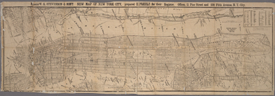
Messrs. V.K. Stevenson & Son'…
A map of the City of New York…
Plan of High Bridge Park : pr…
Diagram showing location of u…
Map drawn for "The Morningsid…
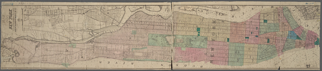
Map of the city of New York s…
Plan of High Bridge Park, sho…
Sketch map of the city of New…
m
Library map 1908
Plan of New York City between…
New-York City, County and vic…
Plan of New York &c.
End of results
|
Top