Click to visit the main New York Public Library Homepage
The New York Public Library
Digital Collections
About Digital Collections
Browse
Search only public domain materials
Items
Collections
Divisions
Home
Search
Browse
About
Search only public domain materials
Items
Collections
Divisions
Digital Collections
Using Images
Using Data
Search
Filtered search
Show filters
Hide filters
Show Only Public Domain
topic
Real property
900
Fire insurance
531
Cities & towns
519
Landowners
16
Maps
12
More
Less
name
Sanborn Map Company
521
Ullitz, Hugo
210
G.W. Bromley & Co
176
E.B. Hyde & Co
159
E. Belcher Hyde Map Company
148
More
Less
collection
Atlases of New York City
1064
Atlases of the United States
298
Maps of North America
36
Maps of New York City and State
29
Maps of Asia
9
More
Less
place
New York (State)
980
New York
341
Brooklyn (New York, N.Y.)
179
Manhattan (New York, N.Y.)
110
Maps
107
More
Less
genre
x
Maps
Atlases
298
Cadastral maps
12
Illustrations
9
Manuscript maps
9
More
Less
publisher
Sanborn Map Company
521
E. Belcher Hyde
306
G.W. Bromley & Co
168
G.M. Hopkins Co.,
40
G.W. Bromley and Co.,
38
More
Less
division
Map Division
1440
Rare Book Division
10
Pforzheimer Collection
8
Manuscripts and Archives Division
5
General Research Division
3
More
Less
type
cartographic
1464
still image
19
text
5
Date Range
to
1,473 results found
Filtering on:
x
Genre
: Maps
x
Note
: Written on mount: "June 2, 1866"
Sort by:
Title
Date created
Date digitized
Sequence
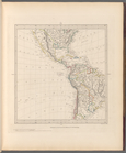
World on gnomonic projection …
Park between 35th and 36th St…
m
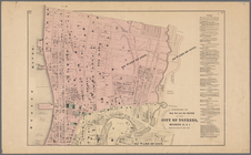
Map 2 - Bronx
m
Prilozhenīe 2-oe kʺ proektu s…
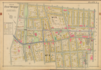
City of East Orange, Double P…
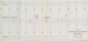
Street Level - 2nd half
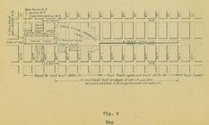
Map 10 overhead foot bridges …
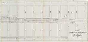
Suburban Level - 2nd half.
Sketch of the action on the h…
Plan showing the redoubt, bre…
Sketch of the action on the h…
Bounded by 85th Street, 1st A…
Bounded by Mackay Pl., 1st Av…
2A - N.Y. City (Aerial Set).
2C - N.Y. City (Aerial Set).
2D - N.Y. City (Aerial Set).
Subdivision of Block 5 of the…
m
Map of 19 lots in the fifteen…
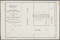
Map of property in the 2nd wa…
Township no. 20 North, Range …
Map of the city of Washington…
Plan of Gettysburg with the b…
Map no. 2, from the northern …
Sketch F No. 2 : showing the …
Sketch D, No. 2 showing the p…
m
1803 April, June 1803
m
No. 2 - Lucas Kiersted
Map of the city of Washington…
Sketch F No. 2 : showing the …
Map of the city of Washington…
Map of the city of Washington…
Sketch E no. 2 : showing the …
A Plan of the action at Bunke…
Map of the city of Washington…
Map of the city of Washington…
Map of the city of Washington…
Portions of 2nd, 3rd, and 4th…
Atherton, St. Lawrence County…
Portions of 1st, 2nd, and 3rd…
Plan of the town of Boston wi…
Sketch of the action on the h…
A plan of the action at Bunke…
Map showing private land clai…
Map showing the public domain…
Precious metal regions of the…
Map no. 2, from the mouth of …
Sketch J no. 2 showing the p…
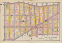
Plate 2
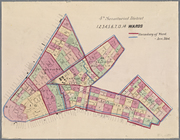
4th Senatorial District. 1,2,…
A2
1
2
3
4
5
6
Previous
Next
1
2
3
4
5
6
Previous
Next