Click to visit the main New York Public Library Homepage
The New York Public Library
Digital Collections
About Digital Collections
Browse
Search only public domain materials
Items
Collections
Divisions
Home
Search
Browse
About
Search only public domain materials
Items
Collections
Divisions
Digital Collections
Using Images
Using Data
Search
Filtered search
Show filters
Hide filters
Show Only Public Domain
topic
City planning
942
Social conditions
942
Real property
3
Fortification
2
1800-1899
1
More
Less
name
M.I.T. Press
942
New York (N.Y.). City Planning Commission
942
Rodd, Thomas, 1763-1822
2
Andrews, R
1
Butler Brothers (Firm)
1
More
Less
collection
Atlases of New York City
943
Maps of New York City and State
9
I. N. Phelps Stokes Collection of American Historical Prints
3
Wallach Division Picture Collection
3
Lawrence H. Slaughter Collection of English maps, charts, globes, books and atlases
1
More
Less
place
x
New York (N.Y.)
New York (State)
949
New York
945
Manhattan (New York, N.Y.)
5
Islip (N.Y. : Town) -- Maps
2
More
Less
genre
x
Maps
Aerial views
4
Prints
4
Diagrams
1
Illustrations
1
More
Less
publisher
MIT Press
942
Thomas Rodd
2
s.n
2
Butler Bros
1
Charles Wood?,
1
More
Less
division
Map Division
953
Wallach Division: Print Collection
4
Wallach Division: Picture Collection
3
type
x
still image
cartographic
10
text
1
Date Range
to
960 results found
Filtering on:
x
Genre
: Maps
x
Place
: New York (N.Y.)
x
Type
: still image
Sort by:
Title
Date created
Date digitized
Sequence
Most extraordinary [camera sh…
The Narrows tunnel : chart of…
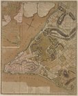
Nieu Amsterdam, een stedeken …
Map of the village of Hermann…
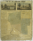
Map of the Lakeland farms, ne…
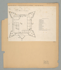
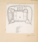
The Fort in New Yorke
The Fort of Albany
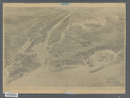
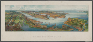
Greatest New York , [panorami…
m
King's bird's eye view of Gre…
m
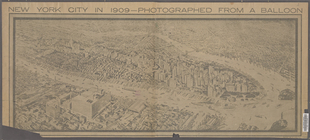
New York City in 1909: photog…
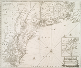
A new map of New England, New…
Novi Belgii Novaeque Angliae …
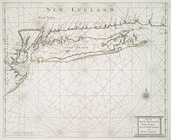
Part of New England New York …
Plan of New York City of New-…
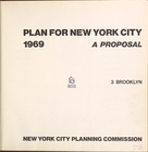
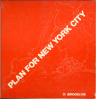
Plan for New york City. 1969.…
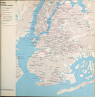
City planning commission
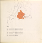
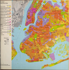
Key map
Brooklyn
Brooklyn (cont.)
Brooklyn (cont.)
Brooklyn (cont.)
Brooklyn
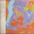
Brooklyn land use policy
Brooklyn neighborhood improve…
Brooklyn public and publicly …
Brooklyn public schools
Brooklyn Hospitals and Health…
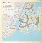
Arterial highways program New…
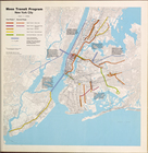
Mass Transit program New York…
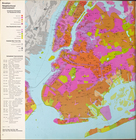
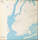
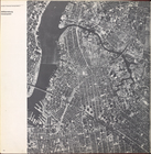
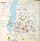
Brooklyn Topography
Cover Page
Brooklyn community planning D…
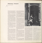
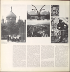
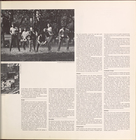
Williamsburg, Greenpoint.
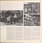
Williamsburg, Greenpoint. (co…
Williamsburg, Greenpoint. (co…
Williamsburg, Greenpoint. (co…
Williamsburg, Greenpoint. (co…
Williamsburg, Greenpoint. (co…
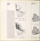
Land use policy
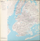
Community resources
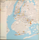
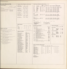
Community resources data
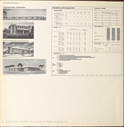
Scheduled new construction
Brooklyn community planning D…
Downtown Brooklyn, Fort Green…
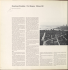
Downtown Brooklyn, Fort Green…
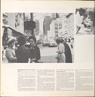
Downtown Brooklyn, Fort Green…
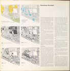
Downtown Brooklyn, Fort Green…
Downtown Brooklyn, Fort Green…
Downtown Brooklyn, Fort Green…
Downtown Brooklyn, Fort Green…
1
2
3
4
Previous
Next
1
2
3
4
Previous
Next