Click to visit the main New York Public Library Homepage
The New York Public Library
Digital Collections
About Digital Collections
Browse
Search only public domain materials
Items
Collections
Divisions
Home
Search
Browse
About
Search only public domain materials
Items
Collections
Divisions
Digital Collections
Using Images
Using Data
Search
Filtered search
Show filters
Hide filters
Show Only Public Domain
topic
Real property
7363
Fire insurance
5123
Cities & towns
4996
Zoning
146
Description and travel
106
More
Less
name
Sanborn Map Company
5092
G.W. Bromley & Co
1058
E. Robinson Co
420
Beers, F. W. (Frederick W.)
415
Robinson, E. (Elisha)
328
More
Less
collection
Atlases of New York City
7968
Atlases of the United States
1046
Maps of New York City and State
375
Maps of North America
92
Collection of broadside real estate maps announcing auctions of lots in early 19th century New York City
67
More
Less
place
New York (State)
8041
New York
1922
Manhattan (New York, N.Y.)
1369
New York (N.Y.)
1161
Brooklyn (New York, N.Y.)
313
More
Less
genre
x
Maps
Atlases
1040
Topographic maps
139
Cadastral maps
80
Plans
53
More
Less
publisher
Sanborn Map Company
5129
G.W. Bromley & Co
980
E. Robinson Co
332
New York (N.Y.). Board of Estimate and Apportionment
182
F. W. Beers & Co
148
More
Less
division
Map Division
9432
Rare Book Division
20
Schomburg Jean Blackwell Hutson Research and Reference Division
12
General Research Division
9
Manuscripts and Archives Division
4
More
Less
type
cartographic
9611
text
83
still image
19
Date Range
to
9,622 results found
Filtering on:
x
Genre
: Maps
x
Place term
: New York
Sort by:
Title
Date created
Date digitized
Sequence
Results 2251 - 2300
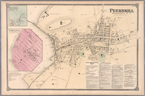
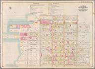
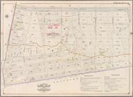
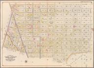
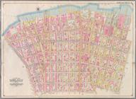
Plate 60: Peekskill, Westches…
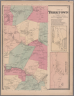
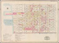
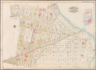
Plate 61: Town of Yorktown, W…
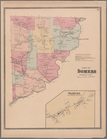
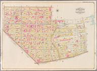
Plate 62: Town of Somers, Wes…
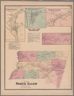
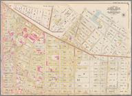
Plate 63: Town of North Salem…
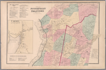
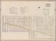
Plate 65: Towns of Putnam Val…
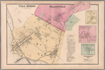
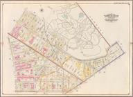
Plate 67: Cold Spring - Nelso…
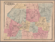
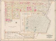
Plate 68: Town of Carmel, Put…
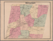
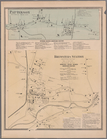
Plate 69: Town of South East,…
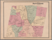
Plate 70: Patterson, Town of …
Plate 71: Town of Patterson, …
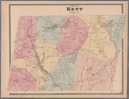
Plate 72: Town of Kent, Putna…
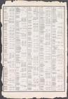
Index to Streets. Kanu Place …
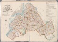
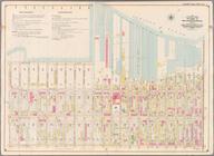
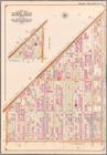
Index Map to Volume One. Atla…
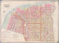
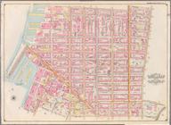
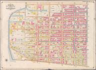
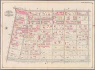
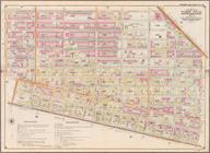
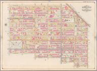
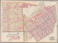
Bounded by Marshall St., Litt…
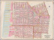
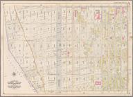
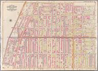
Bounded by Clark St., Fulton …
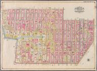
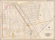
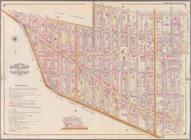
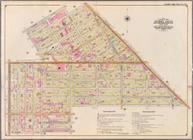
Bounded by Smith St., Bergen …
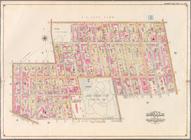
Bounded by Baltic St., Court …
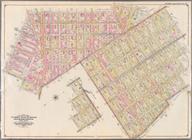
Bounded by Ostego St., Dwight…
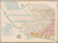
Bounded by (Buttermilk Channe…
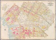
Bounded by Second Ave., Twent…
Bounded by Thirty Seventh St.…
Bounded by Forty Ninth St., S…
Bounded by Sixth Ave., Thirty…
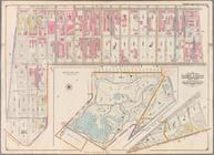
Bounded by Prospect Avenue, E…
Bounded by Third Street, Seve…
Bounded by Seventh Avenue, Ca…
Bounded by (Gowanus Canal) Th…
Bounded by Atlantic Avenue, F…
Bounded by Eastern Parkway, A…
Bounded by Atlantic Avenue, A…
Bounded by Albany Avenue, Atl…
Bounded by Rockaway Avenue, E…
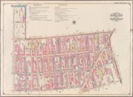
Bounded by Williams Avenue, R…
Bounded by Evergreen Avenue, …
Bounded by Hancock Street, Br…
Bounded by Lexington Avenue, …
Bounded by Broadway, Hancock …
Bounded by Stockton Street, B…
Bounded by Grand Avenue, Will…
Bounded by Willoughby Avenue,…
Bounded by Flushing Avenue, W…
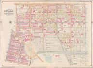
Bounded by Washington Avenue,…
Bounded by Heyward Street, Ha…
Bounded by Marcy Ave., Metrop…
Bounded by Manhattan Avenue, …
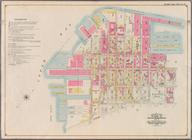
Bounded by (New Town Creek) C…
Bounded by (East River Piers)…
Bounded by Meserole Avenue, F…
Bounded by Ten Eyck Street, B…
Bounded by Flushing Avenue, M…
1
2
…
7
8
9
10
11
12
13
14
…
38
39
Previous
Next
1
2
…
7
8
9
10
11
12
13
14
…
38
39
Previous
Next