Click to visit the main New York Public Library Homepage
The New York Public Library
Digital Collections
About Digital Collections
Browse
Search only public domain materials
Items
Collections
Divisions
Home
Search
Browse
About
Search only public domain materials
Items
Collections
Divisions
Digital Collections
Using Images
Using Data
Search
Filtered search
Show filters
Hide filters
Show Only Public Domain
topic
Description and travel
89
Antiquities
50
Africans
47
Emigration and immigration
47
Migrations
47
More
Less
name
Siegel, Michael
47
Norden, Frederik Ludvig, 1708-1742
40
Tuscher, Markus, 1705-1751
40
Ogilby, John (1600-1676)
15
Green, John, fl. 1730-1753
11
More
Less
collection
In motion : the African-American migration experience: Maps by Michael Siegel
47
The antiquities, natural history, ruins and other curiosities of Egypt, Nubia and Thebes. Exemplified in near two hundred drawings taken on the spot
40
Maps of North America
36
Africa: being an accurate description of the regions of Ægypt, Barbary, Lybia, and Billedulgerid, the land of Negroes, Guinee, Æthiopia, and the Abyssines, with all the adjacent islands ... collected and translated from most authentick authors ... by John Ogilby ..
15
A new general collection of voyages and travels: consisting of the most esteemed relations, which have been hitherto published in any language; comprehending everything remarkable in its kind, in Europe, Asia, Africa, and America
11
More
Less
place
Egypt
65
United States
64
Africa
33
Nile River
29
South Africa
16
More
Less
genre
x
Illustrations
Maps
187
Prints
135
Charts
47
Graphs
47
More
Less
publisher
Rutgers Cartography
46
Printed for Lockyer Davis
40
Harper & Brothers
12
Printed for T. Astley
11
The translator
10
More
Less
division
General Research Division
110
Schomburg Jean Blackwell Hutson Research and Reference Division
73
Rare Book Division
45
Map Division
40
Schomburg Manuscripts, Archives and Rare Books Division
26
More
Less
type
x
cartographic
still image
70
text
15
Date Range
to
304 results found
Filtering on:
x
Genre
: Illustrations
x
Type
: cartographic
Sort by:
Title
Date created
Date digitized
Sequence
Le Ruyavme d Abyssinie ou lem…
L"empire du Monomotapa et la …
Isle de Malthe
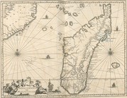
Isle de Madagascar dite de St…
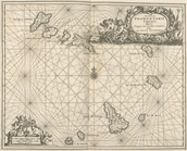
Isles dv Cap Verd
I. Goree
Afrique Ancienne
Afrique Moderne
Partie Septentrionale de L'An…
Tabula Nautica.
Turkey III: containing the So…
Kaert von Groen-Land, [fold o…
m
Atlas géologique
Geroicheskiĭ pokhod
m
Greenland, [Map]
Præfecturæ Paranambucæ par bo…
Ethnological Chart of the Wor…
Carte generale du Caucase.
Sevilla
Vilna Litvaniae
Map of the New World
m
Cosmographey oder beschreibun…
Carte de l'Ancien Continent.
Carte du Nouveau Continent.
[La Carte]
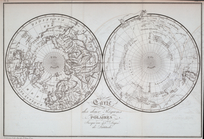
Carte des deux Régions Polair…
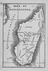
Map of Madagascar
Siege of Fort Meigs
Detroit River and vicinity
Plan of the Tippecanoe camp a…
Plan of the Battle of Fallen …
Battle of the Thames
Nova Aegypti Tabula.
Barbaria Biledulgered o: Liby…
Fezzae et Marocchi Regna Afri…
Africae Accurata Tabula ex Of…
The Citty of Tanger.
Nigritarum Regio.
Gvinea.
Aethiopia Inferior vel Exteri…
Regna Congo et Angola.
Aethipia Superior vel Interio…
Insvla S. Lavrentii, vulgo Ma…
Insulae Promontori Viridis, H…
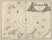
Insulae Canariae alias Fortun…
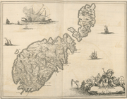
Melite Insula vulgo Masia.
Difegno Della Citta Valletta.
Plan of the city of Philadelp…
Planta topografica della citt…
Rouine d'un Tempio d'Iside pr…
1
2
Previous
Next
1
2
Previous
Next