Click to visit the main New York Public Library Homepage
The New York Public Library
Digital Collections
About Digital Collections
Browse
Search only public domain materials
Items
Collections
Divisions
Home
Search
Browse
About
Search only public domain materials
Items
Collections
Divisions
Digital Collections
Using Images
Using Data
Search
Filtered search
Show filters
Hide filters
Show Only Public Domain
topic
Real property
57
Landowners
53
Maps
27
City planning
12
History
11
More
Less
name
Bureau of Social Science Research (Washington, D.C.)
7
Fink, Raymond
7
Alexander, James, 1691-1756
6
Ohman, August R
4
Van Etten, L. E
3
More
Less
collection
Maps of New York City and State
71
Maps of North America
68
Maps of Asia
8
Carl H. Pforzheimer Collection of Shelley and His Circle: visual materials
1
Maps of property in the city of New York belonging to John J. Astor Esq
1
More
Less
place
New York (State)
61
New York (N.Y.)
37
Manhattan (New York, N.Y.)
32
New Jersey
29
New York
27
More
Less
genre
x
Manuscript maps
Maps
151
Cadastral maps
29
Surveys
26
Facsimiles
5
More
Less
publisher
producer not identified
29
Producer not identified
8
publisher not identified
6
Corps of Topographical Engineers
2
Department of Public Works
2
More
Less
division
Map Division
148
No Division
1
Pforzheimer Collection
1
Spencer Collection
1
type
cartographic
151
text
2
still image
1
Date Range
to
151 results found
Filtering on:
x
Genre
: Manuscript maps
Sort by:
Title
Date created
Date digitized
Sequence
m
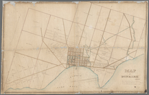
Maps of property in the city …
m
Mercator projection exhibitin…
Property in the towns of Cast…
New-York and vicinity as prop…
Map of property in the 19th w…
Pencil sketch of part of Xien…
Ville de Savannakhet
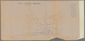
Plan du centre de Thakhek
Pencil sketch of unidentified…
Pencil sketch of part of Vien…
m
Map of Sayaboury
m
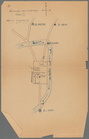
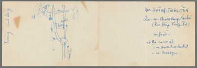
Map of part of Ho Chi Minh Ci…
m
Map of Laos : based on PEO La…
m
Scene of Shelley's last years
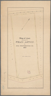
Map of a part of the Village …
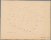
Subdivision of Block 5 of the…
m
Gold Ridge, Randolph Co., Ala…
The New York Mine : geologica…
Parts of Ohio & Pennsylvania …
Map showing lands of the Iron…
Lots & blocks shaded red belo…
Mines of the Kansas Ridge, Mo…
A Tracing of parts of the sta…
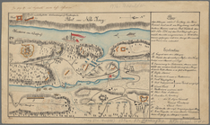
Sketch of the battle ground a…
Sketch of the battle ground a…
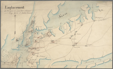
Emplacement des troupes en qu…
Plan der Attaque, welche Sr. …
Georgia, parish of St. John :…
Military map of South Carolina
Arbachoochee, Alabama : Dense…
Land given to the town of Qui…
Map of Gloucester Co., Va.
m
Map of Dunkirk
Map of the Valley Furnace Est…
m
Highwood Park, East of Glenwo…
Map of Gotham Division of the…
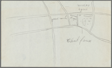
Map of the village of Lyon Mo…
Map of property known as Knol…
Map of land belonging to Feli…
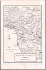
Massachusetts with Connecticu…
New Jersey
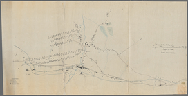
Map of the lateral rail roads…
The route of the army under t…
Oil lands, Prentice Angell & …
Map of lands in the town of Y…
m
Three maps of the property kn…
Rye Park: [New York]
Country-seat of Danl. P. Barn…
m
Castle Ridge, Tarrytown, West…
Map of Knollwood, Elmsford, W…