Click to visit the main New York Public Library Homepage
The New York Public Library
Digital Collections
About Digital Collections
Browse
Search only public domain materials
Items
Collections
Divisions
Home
Search
Browse
About
Search only public domain materials
Items
Collections
Divisions
Digital Collections
Using Images
Using Data
Search
Filtered search
Show filters
Hide filters
Show Only Public Domain
topic
x
Administrative and political divisions
Indians of North America
4
Indian reservations
3
Railroads
3
Surveying
3
More
Less
name
Hooker, William
4
United States. General Land Office
3
Adams & Co
1
Asher & Adams
1
Balch, Vistus, 1799-1884
1
More
Less
collection
Maps of North America
9
Maps of New York City and State
7
place
New York (N.Y.)
6
Idaho
4
Manhattan (New York, N.Y.)
3
Manhattan (New York, N.Y.) -- Maps
2
New York (State)
2
More
Less
genre
x
Maps
Posters
1
publisher
General Land Office
3
W. Hooker
3
Civic Federation
1
Department of Agriculture
1
Gaylord Watson
1
More
Less
division
Map Division
16
type
x
text
cartographic
16
still image
4
Date Range
to
16 results found
Filtering on:
x
Genre
: Maps
x
Topic
: Administrative and political divisions
x
Type
: text
Sort by:
Title
Date created
Date digitized
Sequence
The Civic Federation map of C…
m
Map [of the republic] of Texa…
Territory of Idaho
State of Idaho
Territory of Idaho
Idaho
Labor commissioner's official…
m
Official map of Georgia
m
Watson and Adams new topograp…
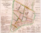
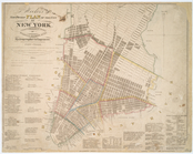
Hooker's new pocket plan of t…
City of New-York
m
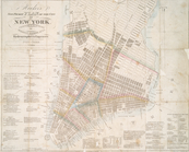
Hooker's new pocket plan of t…
The tourist's map of the stat…
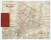
Hooker's new pocket plan of t…
Hooker's new pocket plan of t…
m
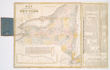
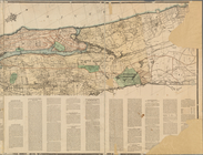
Map of the northern portion o…
End of results
|
Top