Click to visit the main New York Public Library Homepage
The New York Public Library
Digital Collections
About Digital Collections
Browse
Search only public domain materials
Items
Collections
Divisions
Home
Search
Browse
About
Search only public domain materials
Items
Collections
Divisions
Digital Collections
Using Images
Using Data
Search
Filtered search
Show filters
Hide filters
Show Only Public Domain
topic
Real property
10739
Fire insurance
5290
Cities & towns
5001
City planning
1098
Social conditions
945
More
Less
name
Sanborn Map Company
5093
G.W. Bromley & Co
2475
New York (N.Y.). City Planning Commission
978
M.I.T. Press
942
Bromley, George Washington
830
More
Less
collection
Atlases of New York City
11510
Atlases of the United States
3681
Maps of North America
3345
Maps of New York City and State
2054
Lawrence H. Slaughter Collection of English maps, charts, globes, books and atlases
1218
More
Less
place
New York (State)
13020
New York
4917
New York (N.Y.)
3356
Manhattan (New York, N.Y.)
2327
Brooklyn (New York, N.Y.)
1151
More
Less
genre
x
Maps
Atlases
3610
Topographic maps
1062
Surveys
1032
land surveys
849
More
Less
publisher
Sanborn Map Company
5129
G.W. Bromley & Co
2297
MIT Press
942
K.u.K. Militargeographisches Institut
773
E. Belcher Hyde
770
More
Less
division
Map Division
23265
Manuscripts and Archives Division
1081
General Research Division
360
Rare Book Division
328
Schomburg Jean Blackwell Hutson Research and Reference Division
177
More
Less
type
cartographic
24593
still image
1430
text
672
Date Range
to
25,787 results found
Filtering on:
x
Genre
: Maps
Sort by:
Title
Date created
Date digitized
Sequence
Results 1001 - 1050
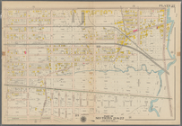
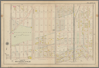
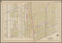
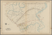
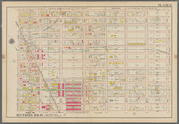
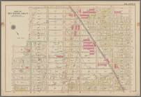
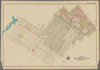
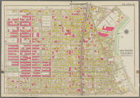
Bounded by Ralph Avenue, E. 9…
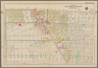
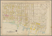
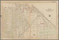
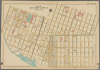
Bounded by Avenue J., E. 56th…
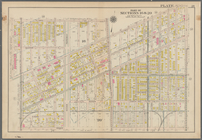
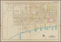
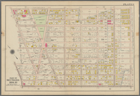
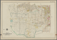
Bounded by Avenue P., E. 31st…
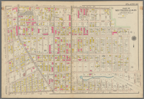
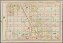
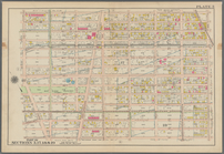
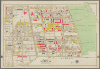
Bounded by Avenue V., Knapp S…
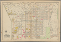
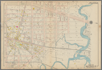
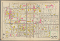
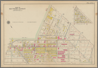
Coney Island: Part of Section…
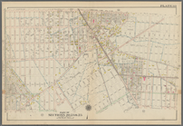
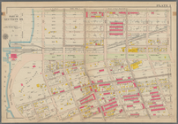
Coney Island. Bounded by Cana…
Bounded by Bay View Avenue, W…
Bounded by Ocean Avenue, Emmo…
Bounded by Ocean Parkway, Ave…
Bounded by Avenue Q., Ocean A…
Bounded by Avenue M., Coney I…
Bounded by Avenue I., Ocean A…
Bounded by (Vanderveer Park) …
Bounded by Ditmas Avenue, Con…
Bounded by Regent Place, Tild…
Bounded by Albemarle Avenue, …
Bounded by Winthrop Street, (…
Bounded by Malbone Street, Ki…
Bounded by Terrace Place, 11t…
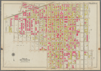
Bounded by 86th Street, W. 9t…
Bounded by 86th Street, W. 11…
Bounded by 72nd Street, 22nd …
Bounded by 58th Street, West …
Bounded by 86th Street, 20th …
Bounded by 85th Street, 1st A…
Bounded by 72nd Street, 21st …
Bounded by 58th Street, 21st …
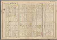
Bounded by 43rd Street, West …
Bounded by 72nd Street, Fourt…
Bounded by 58th Street, Fourt…
Bounded by 43rd Street, 14th …
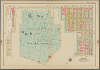
Bounded by (Greenwood Cemeter…
Bounded by Mackay Pl., 1st Av…
Bounded by 60th St., Seventh …
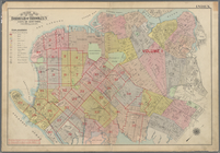
Outline Map of the Borough of…
Bounded by Stanley Ave., Mill…
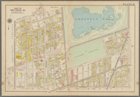
Bounded by Riverdale Avenue, …
Bounded by Linwood St., Cozin…
Bounded by Logan Street, Jama…
Bounded by Barbey Street, (Hi…
Bounded by Snediker Avenue, L…
Bounded by Park Place, East N…
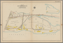
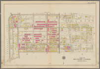
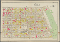
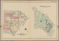
Prospect Park Bounded by (Ins…
Bounded by 9th Avenue, Twenty…
Bounded by Fourth Avenue, 38t…
Bounded by First Avenue (New …
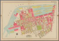
Bounded by (New York Bay) Sec…
Bounded by Richards Street, (…
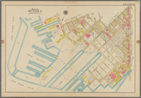
Bounded by (New York Bay Pier…
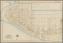
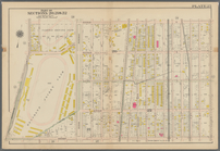
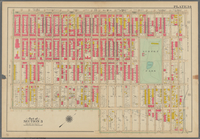
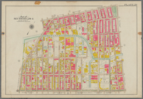
Plate 29: Bounded by Court St…
1
2
3
4
5
6
7
8
9
10
…
103
104
Previous
Next
1
2
3
4
5
6
7
8
9
10
…
103
104
Previous
Next