Click to visit the main New York Public Library Homepage
The New York Public Library
Digital Collections
About Digital Collections
Browse
Search only public domain materials
Items
Collections
Divisions
Home
Search
Browse
About
Search only public domain materials
Items
Collections
Divisions
Digital Collections
Using Images
Using Data
Search
Filtered search
Show filters
Hide filters
Show Only Public Domain
topic
Manuscripts, Italian
12
Harbors
1
History
1
Nautical charts
1
name
Agnese, Battista, 16th cent
12
Agnese, Battista, active 16th century
12
Jacobsz, Anthoni 1594-1624
2
D'Avignon, Francis, 1813-
1
De Brahm, John Gerar William, 1717-approximately 1799
1
More
Less
collection
Portolan atlas
12
Maps of North America
3
place
Atlantic Coast (North America)
2
Caribbean Area
2
Mexico, Gulf of
2
North America
2
West Indies
2
More
Less
genre
x
Portolan charts
Maps
15
Manuscripts
12
Nautical charts
1
publisher
Published by Thomas Jefferys, geographer to the King in the Strand
1
publisher not identified
1
division
Spencer Collection
12
Map Division
3
type
x
cartographic
text
13
still image
10
Date Range
to
15 results found
Filtering on:
x
Genre
: Portolan charts
x
Type
: cartographic
Sort by:
Title
Date created
Date digitized
Sequence
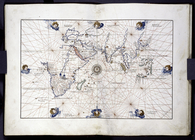
Americae septentrionalis pars…
Americæ septentrionalis pars:…
Eastern section of three-part…
Land map in the portolan styl…
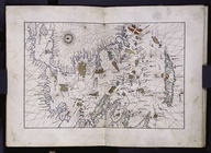
Land map of Cyprus in the por…
Land map of Palestine in the …
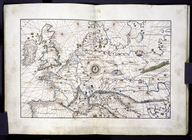
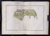
Old-fashioned map portraying …
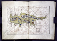
Plan of Amelia Island in East…
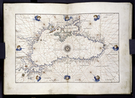
Portolan map of the Black Sea…
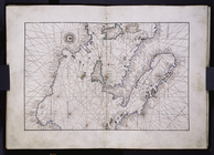
Portolan map of the Grecian A…
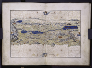
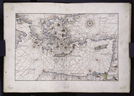
Portolan map showing the Cent…
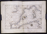
Portolan map showing the East…
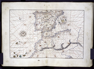
Portolan map showing the West…
Portolan map with some featur…
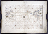
Western section of a three-pa…
End of results
|
Top