Click to visit the main New York Public Library Homepage
The New York Public Library
Digital Collections
About Digital Collections
Browse
Search only public domain materials
Items
Collections
Divisions
Home
Search
Browse
About
Search only public domain materials
Items
Collections
Divisions
Digital Collections
Using Images
Using Data
Search
Filtered search
Show filters
Hide filters
Show Only Public Domain
topic
Nautical charts
12
History
7
United States
7
Railroads
6
1600-1699
4
More
Less
name
Fisher, Joshua, 1707-1783
6
Nicholson, W. L
4
Bache, A. D. (Alexander Dallas), 1806-1867
3
Carey, Mathew, 1760-1839
3
Maybin, Joseph A
3
More
Less
collection
Maps of North America
39
Lawrence H. Slaughter Collection of English maps, charts, globes, books and atlases
25
Robert N. Dennis collection of stereoscopic views
25
Wallach Division Picture Collection
11
Emmet Collection of Manuscripts Etc. Relating to American History
4
More
Less
place
x
Delaware
Maryland
49
Virginia
32
New Jersey
30
Pennsylvania
21
More
Less
genre
Maps
72
Photographs
34
Stereographs
25
Prints
8
Conjectural works
6
More
Less
publisher
publisher not identified
3
s.n
3
C. P. Wayne
2
Chez P. Mortier
2
E. & G.W. Blunt
2
More
Less
division
Map Division
70
Wallach Division: Photography Collection
29
Wallach Division: Picture Collection
8
Wallach Division: Print Collection
4
Schomburg Photographs and Prints Division
2
More
Less
type
cartographic
71
still image
50
Date Range
to
121 results found
Filtering on:
x
Place
: Delaware
Sort by:
Title
Date created
Date digitized
Sequence
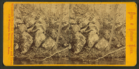
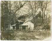
Oldest powder mill in America
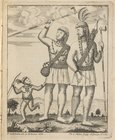
Indians with tobacco pipes
Carte de la Virginie et du Ma…
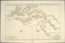
Carte particuliere de Virgini…
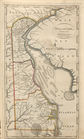
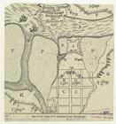
Delaware, from the best autho…
James Steward. Taken when vis…
A new map of the province of …
A chart of Delaware Bay and R…
A map of the country from Rar…
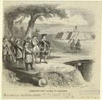
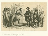
Summoning Fort Casimir to sur…
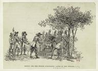
Minuit and the Swedes purchas…
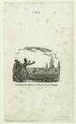
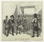
Arrival of the Swedes and Fin…
Landing of the Swedes at Para…
Map of the siege of Fort Chri…
Evacuation of Fort Christina
Penn's landing at Newcastle, …
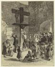
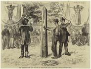
The whipping-post and pillory…
The whipping-post and pillory…
The whipping-post and pillory…
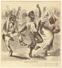
The ball after supper
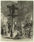
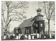
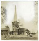
The Old Swedes Church, Wilmin…
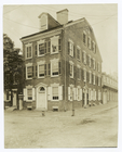
Immanuel Church, New Castle, …
Thomas house, 1801, Newcastle…
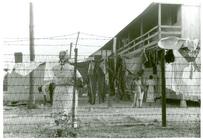
The barbed-wire enclosed camp…
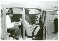
Migratory agricultural worker…
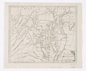
A general map of the middle B…
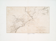
Map showing a portion of the …
A chart of Delaware Bay and R…
Map of Pennsylvania, New Jers…
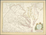
Map of Virginia, Maryland and…
A general map of the middle B…
A map of the country from Rar…
A map of that part of America…
A New map of the province of …
A map of Maryland with the De…
Carte particuliere de Virgini…
Nova Suecia, eller the Swensk…
m
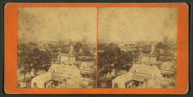
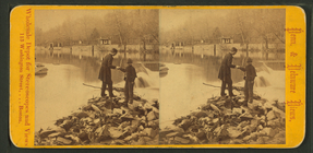
Wilmington.
m
Looking down Bear Creek.
m
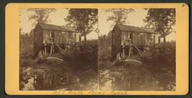
Old mill, Bear Creek.
m
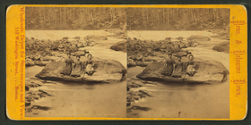
Ottoman Rock.
m
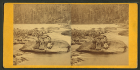
Ottoman Rock.
m
Rocky Ridge.
m
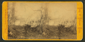
Dupont's powder mill, Delawar…
m
Solitude.
m
Resting by the wayside.
m
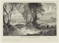
Rockville Bridge.
m
Rockville Bridge.
m
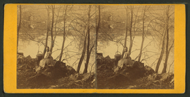
South bank, near the bridge, …
m
Nature's arch, Brandywine Cre…