Click to visit the main New York Public Library Homepage
The New York Public Library
Digital Collections
About Digital Collections
Browse
Search only public domain materials
Items
Collections
Divisions
Home
Search
Browse
About
Search only public domain materials
Items
Collections
Divisions
Digital Collections
Using Images
Using Data
Search
Filtered search
Show filters
Hide filters
Show Only Public Domain
topic
Description and travel
96
Railroads
21
Administrative and political divisions
17
Nautical charts
13
Roads
11
More
Less
name
Beers, Comstock & Cline
96
Beers, F. W. (Frederick W.)
95
Bache, A. D. (Alexander Dallas), 1806-1867
7
United States Coast Survey
7
Hassler, F. R. (Ferdinand Rudolph), 1770-1843
6
More
Less
collection
Atlases of New York City
95
Maps of New York City and State
45
Maps of North America
10
I. N. Phelps Stokes Collection of American Historical Prints
3
Atlases of the United States
2
More
Less
place
x
Long Island (N.Y.)
New York (State)
48
New York (N.Y.)
16
Connecticut
15
Long Island Sound (N.Y. and Conn.)
11
More
Less
genre
Maps
161
Nautical charts
7
Prints
4
Road maps
4
Tourist maps
4
More
Less
publisher
Beers, Comstock & Cline
96
G.W. & C.B. Colton & Co
6
U.S. Coast Survey office
4
Hyde & Company
3
s.n
3
More
Less
division
Map Division
157
Wallach Division: Print Collection
4
type
x
cartographic
still image
1
text
1
Date Range
to
161 results found
Filtering on:
x
Place
: Long Island (N.Y.)
x
Type
: cartographic
Sort by:
Title
Date created
Date digitized
Sequence
m
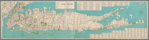
Hagstrom's map of Long Island…
m
Shell street guide of Brookly…
m
Hagstom's map of Long Island …
m
Brooklyn Daily Eagle Long Isl…
Hammond's new guide map of Ma…
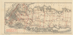
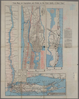
Map of Long Island showing th…
m
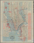
Map of the city of New York :…
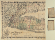
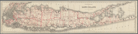
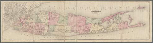
Map of Long Island
m
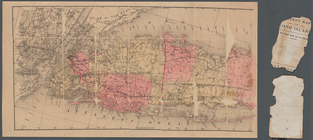
Map of Long Island: based upo…
Coast chart, no. 118, Napeagu…
m
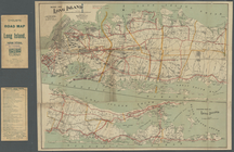
Colton's road map of Long Isl…
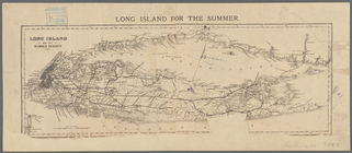
Long Island for the summer
m
Map of Long Island: based upo…
Colton's road map of Long Isl…
Rand, McNally & Co.'s New York
Rand McNally & Co.'s new rail…
m
Map of Long Island
m
Taunton new guide map and dir…
A plott of ye situations of t…
m
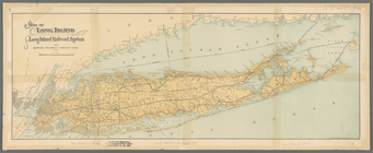
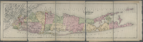
Map of Long Island and the so…
m
Taunton new guide map and dir…
Plan of the Battle of Long Is…
m
Colton's new map of Long Isla…
Map of the New York & Boston …
m
Post route map of the states …
Map of Long Island
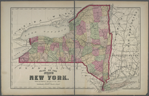
Plan of the State of New York
Map of central portions of th…
Map of Long Island
The Flushing and North Side R…
Flatbush, Kings Co. L.I. - Ea…
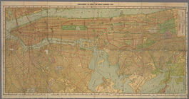
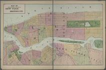
The City of Brooklyn
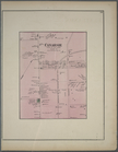
Parkville P.O. Tn. of Flatbus…
New Utrecht. Kings Co. - Bath…
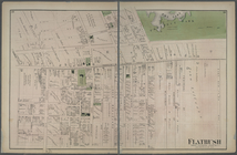
Flatbush. Town of Flatabush, …
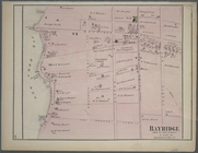
Bayridge. Town of New Utrecht…
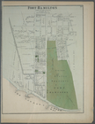
Fort Hamilton. Town of New Ut…
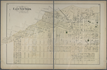
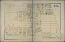
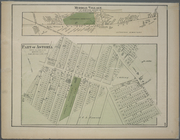
Portion of East New York. New…
m
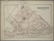
Gravesend. Kings Co. L.I.
m
Unionville Guntherville, Town…
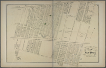
Portion of East New York. New…
m
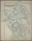
Flatlands. Kings Co. L.I.
m
Canarsie. Town of Flat Lands,…
Portion of East New York. New…
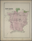
New Lots. Kings Co. L.I.
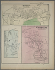
Middle Village. Tn. of Newtow…
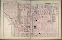
Hunters Point. Part of Long I…
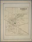
Winfield. Tn. of Newtown, Que…
Maspeth. Town of Newtown, Que…
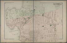
Astoria. Part of Long Island …