Click to visit the main New York Public Library Homepage
The New York Public Library
Digital Collections
About Digital Collections
Browse
Search only public domain materials
Items
Collections
Divisions
Home
Search
Browse
About
Search only public domain materials
Items
Collections
Divisions
Digital Collections
Using Images
Using Data
Search
Filtered search
Show filters
Hide filters
Show Only Public Domain
topic
History
735
Houses
462
Description and travel
113
Historic buildings
79
Trees
41
More
Less
name
Armbruster, Eugene L., 1865-1943
708
DeBevoise, C. Manley
241
Beers, Comstock & Cline
113
Beers, F. W. (Frederick W.)
112
Austin, Daniel Berry
93
More
Less
collection
The Eugene L. Armbruster collection of Long Island photographic views
711
Photographic views of the United States
376
Atlases of New York City
112
Collection of photographs taken by Daniel B. Austin and his associate, Adam Dove, depicting buildings, street scenes and Brooklyn and Long Island views, particularly Flatbush, Gravesend and New Utrecht, and generally for the period 1885-1914
93
Maps of New York City and State
45
More
Less
place
x
Long Island (N.Y.)
New York (State)
553
United States
388
Port Washington (N.Y.)
37
Long Island Sound (N.Y. and Conn.)
31
More
Less
genre
Photographs
1216
Maps
162
Stereographs
18
Prints
13
pages (components)
12
More
Less
publisher
Beers, Comstock & Cline
113
G.W. & C.B. Colton & Co
6
U.S. Coast Survey office
4
Hyde & Company
3
s.n
3
More
Less
division
Milstein Division
1208
Map Division
174
Wallach Division: Photography Collection
21
Wallach Division: Print Collection
10
Wallach Division: Picture Collection
6
More
Less
type
still image
1237
text
743
cartographic
161
Date Range
to
1,428 results found
Filtering on:
x
Place
: Long Island (N.Y.)
Sort by:
Title
Date created
Date digitized
Sequence
m
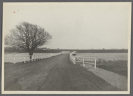
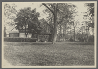
View of Sagg Bridge. Looking …
m
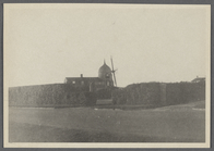
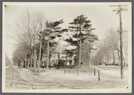
View of Windmill Cottage. Fro…
m
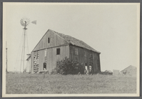
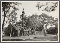
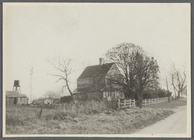
Old Pierce Butler farmhouse. …
m
Old Pierce Butler farmhouse (…
m
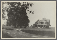
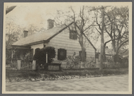
"At the Sign of the Blue Moon…
m
Former Warren Roadhouse. Sout…
m
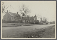
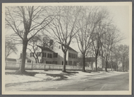
Haven house. North side road …
m
Capt. Harry Halsey house (187…
m
Harvey Rose house. North side…
m
Haven house. North side road …
m
John Rogers house. East side …
m
Harvey Rose house. North side…
m
Former Warren Roadhouse. Sout…
m
Former Warren Roadhouse. Sout…
m
Haven house. North side road …
m
Haven house. North side road …
m
Haven house. North side road …
m
"At the Sign of the Blue Moon…
m
John Rogers house. East side …
m
Capt. Elias White house. Nort…
m
Capt. Elias White house. Nort…
m
Capt. Elias White house. Nort…
m
Capt. Elias White house. Nort…
m
Capt. Elias White house. Nort…
m
View looking east from Southa…
m
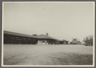
Southampton Railroad Station.…
m
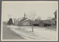
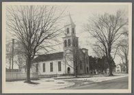
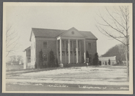
Methodist Episcopal Church. S…
m
Methodist Episcopal Church. S…
m
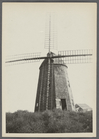
Windmill at Water Mill. Water…
m
Windmill at Water Mill. Water…
m
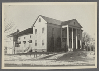
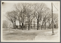
Town Hall. South side Montauk…
m
Town Hall. South side Montauk…
m
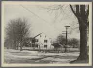
Methodist Episcopal Parsonage…
m
Methodist Episcopal Parsonage…
m
View of Jessup Avenue. Lookin…
m
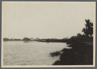
View of western arm of Quantu…
m
House. West side Main Street,…
m
View of Shore Road. T. Halsey…
m
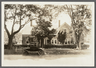
T. Halsey house (1896). South…
m
Fanny Bell house. NE corner M…
m
S. Wilkinson house. Sagg High…
m
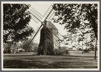
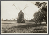
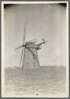
Windmill at Hay Ground Hill. …
m
Windmill at Hay Ground Hill. …
m
Windmill at Hay Ground Hill. …
m
View of Sagg Bridge. Looking …
m
J.W.F. Howell house (1894). W…
m
Bishop house. West side North…
m
Reeve house. West side Main S…
m
View of Hampton Road, at Flyi…
m
Sayre house. North side Monta…
1
2
3
4
5
6
Previous
Next
1
2
3
4
5
6
Previous
Next