Click to visit the main New York Public Library Homepage
The New York Public Library
Digital Collections
About Digital Collections
Browse
Search only public domain materials
Items
Collections
Divisions
Home
Search
Browse
About
Search only public domain materials
Items
Collections
Divisions
Digital Collections
Using Images
Using Data
Search
Filtered search
Show filters
Hide filters
Show Only Public Domain
topic
Coasts
2
Geography
2
Nautical charts
2
Atlases
1
Beavers
1
More
Less
name
Cóvens et Mortier
2
Fry, Joshua, approximately 1700-1754
2
Jefferson, Peter, 1708-1757
2
Morse, Jedidiah, 1761-1826
2
Mutlow, I
2
More
Less
collection
x
Lawrence H. Slaughter Collection of English maps, charts, globes, books and atlases
place
x
Maryland
Virginia
24
Delaware
9
New Jersey
7
Early works to 1800
6
More
Less
genre
Maps
24
publisher
Chez Cóvens & Mortier
2
s.n
2
... Sold ... by Tho. Bowles, print and map-seller in St. Paul's-Churchyard
1
A. Wolfgang
1
Chez Louïs Billaine
1
More
Less
division
Map Division
24
type
cartographic
24
Date Range
to
24 results found
Filtering on:
x
Place
: Maryland
x
Place
: Virginia
x
Collection
: 6a373d50-c5d3-012f-a6fb-58d385a7bc34
Sort by:
Title
Date created
Date digitized
Sequence
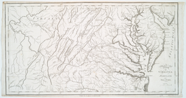
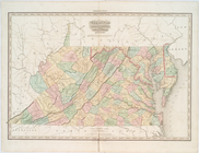
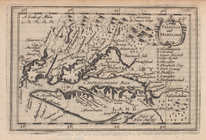
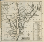
Map of Virginia, Maryland and…
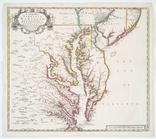
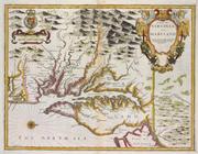
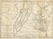
Carte de la Virginie et du Ma…
Bowles's new pocket map of th…
Costes et rivieres de Virgini…
Map of Virginia, Maryland and…
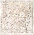
A new map of Virginia, Mary-l…
Virginie, Maryland : en 2 feu…
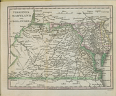
Virginia, Maryland, and Delaw…
A map of Virginia and Maryland
Carte de la Louisiane, Maryla…
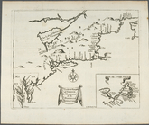
A chart of the sea coast of N…
Carte de la Virginie, du Mary…
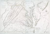
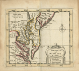
Virginia and Maryland.
Virginia and Maryland
m
A new and exact map of the do…
Il Maryland, il Jersey Meridi…
A chart of the sea coasts of …
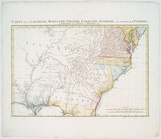
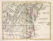
A map of the country between …
Nouvelle carte de la Pensylva…
Virginia, Maryland, and Delaw…
Chart of the entrance to Ches…
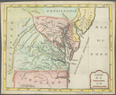
Carte de la Virginie, du Mary…
Carte de la Virginie et du Ma…
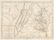
Carte de la Louisiane, Maryla…
End of results
|
Top