Click to visit the main New York Public Library Homepage
The New York Public Library
Digital Collections
About Digital Collections
Browse
Search only public domain materials
Items
Collections
Divisions
Home
Search
Browse
About
Search only public domain materials
Items
Collections
Divisions
Digital Collections
Using Images
Using Data
Search
Filtered search
Show filters
Hide filters
Show Only Public Domain
topic
Beaches
13
Shipwrecks
11
Streets
6
Whales
6
Windmills
5
More
Less
name
Freeman, J. (Josiah)
62
Kilburn Brothers
24
C.H. Shute & Son
9
Ewer, Ferdinand C. (Ferdinand Cartwright), 1826-1883
2
Ackerman, James
1
More
Less
collection
Robert N. Dennis collection of stereoscopic views
99
Detroit Publishing Company postcards
4
Maps of North America
3
I. N. Phelps Stokes Collection of American Historical Prints
1
place
x
Nantucket (Mass.)
Massachusetts
107
Nantucket
7
Nantucket Island (Mass.)
2
Siasconset (Mass.)
2
More
Less
genre
Photographs
99
Stereographs
99
Postcards
4
Maps
3
Nautical charts
1
More
Less
publisher
J. Freeman
62
Detroit Publishing Company
4
publisher not identified
2
U.S. Coast Survey Office
1
division
Wallach Division: Photography Collection
103
Map Division
3
Wallach Division: Print Collection
1
type
still image
104
cartographic
3
Date Range
to
107 results found
Filtering on:
x
Place
: Nantucket (Mass.)
x
Place
: Massachusetts
Sort by:
Title
Date created
Date digitized
Sequence
m
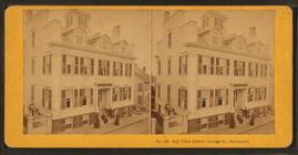
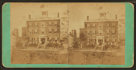
Bay View House, Orange St., N…
m
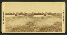
Beach view with houses in the…
m
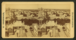
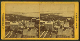
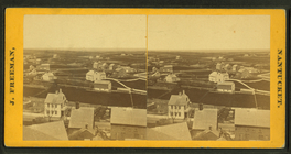
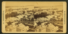
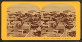
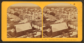
Bird's-eye view of Nantucket.
m
Bird's-eye view of Nantucket.
m
Bird's-eye view of Nantucket.
m
Bird's-eye view of Nantucket.
m
Bird's-eye view of Nantucket.
m
Capt. Wm. Baxter in his wagon…
Church Haven, Main Street, Na…
m
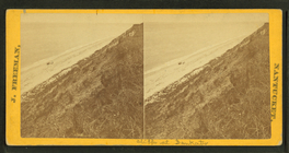
Cliffs at Sankaty.
m
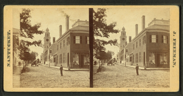
Cor. Main and Ocean Sts.
m
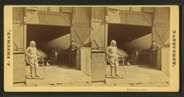
Cutting in" the whale at the …
m
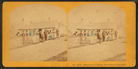
Fisherman's cottage, Siascons…
m
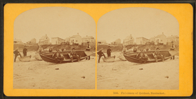
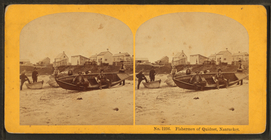
Fishermen of Quidnet, Nantuck…
m
Fishermen of Quidnet, Nantuck…
m
From the S. tower, looking no…
m
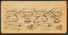
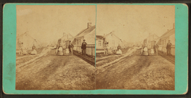
General street view.
m
Group of children in front of…
m
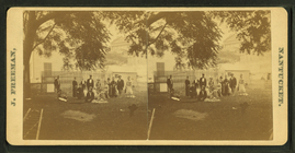
Group of people standing on a…
m
Group posing on porch of larg…
Historical map of Nantucket
Historical map of Nantucket
m
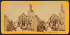
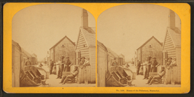
Homes of the fishermen, Nantu…
m
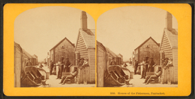
Homes of the fishermen, Nantu…
m
Homes of the fishermen, Nantu…
m
Homes of the fishermen, Nantu…
m
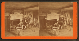
Interior view showing "hermit…
m
Intr. "Hermit's House," Quidn…
m
Intr. of the oldest house in …
m
Life saving station.
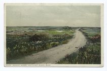
Madaket Moore (roadway on rig…
m
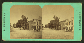
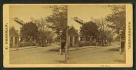
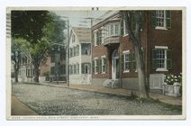
Main Street, Nantucket.
m
Main Street, Nantucket.
m
Main Street.
m
Mrs. Enus Ray yard.
m
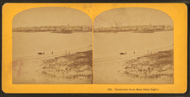
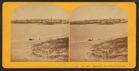
Nantucket (from Brant Point L…
m
Nantucket from Bran Point lig…
m
Nantucket from Bran Point lig…
m
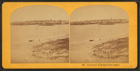
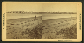
Nantucket from Brant Point.
m
Nantucket from Brant Point.
m
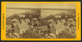
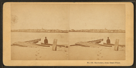
Nantucket Harbor, from the to…
m
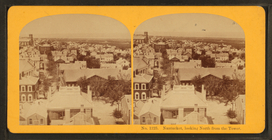
Nantucket, looking north from…
m
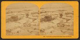
Nantucket, looking north-east…
m
Nantucket, looking north-east…
m
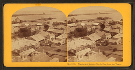
Nantucket, looking south-west…
Number 5 Quince Street, Nantu…
m
Ocean House.
m
Old mill, built in 1746.
m
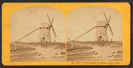
Old wind mill, Nantucket, bui…
m
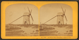
Old wind mill, Nantucket, bui…