Click to visit the main New York Public Library Homepage
The New York Public Library
Digital Collections
About Digital Collections
Browse
Search only public domain materials
Items
Collections
Divisions
Home
Search
Browse
About
Search only public domain materials
Items
Collections
Divisions
Digital Collections
Using Images
Using Data
Search
Filtered search
Show filters
Hide filters
Show Only Public Domain
topic
Real property
10171
Fire insurance
5205
Cities & towns
4996
Business enterprises
402
Railroads
314
More
Less
name
Sanborn Map Company
5080
G.W. Bromley & Co
2113
Ullitz, Hugo
702
E.B. Hyde & Co
516
E. Belcher Hyde Map Company
458
More
Less
collection
Atlases of New York City
8606
Atlases of the United States
1938
Maps of New York City and State
1297
Collection of broadside real estate maps announcing auctions of lots in early 19th century New York City
67
Maps of North America
45
More
Less
place
x
New York (State)
New York
3838
Manhattan (New York, N.Y.)
2272
New York (N.Y.)
1217
Brooklyn (New York, N.Y.)
953
More
Less
genre
Maps
11884
Atlases
1937
Cadastral maps
246
Prints
78
Index maps
65
More
Less
publisher
Sanborn Map Company
4998
G.W. Bromley & Co
1985
E. Belcher Hyde
530
E. Robinson Co
241
F. W. Beers & Co
148
More
Less
division
Map Division
11852
Rare Book Division
11
Manuscripts and Archives Division
8
Wallach Division: Print Collection
7
General Research Division
3
More
Less
type
x
cartographic
text
158
still image
14
Date Range
to
12,015 results found
Filtering on:
x
Place
: New York (State)
x
Rights
: Public Domain
x
Type
: cartographic
Sort by:
Title
Date created
Date digitized
Sequence
Results 11751 - 11800
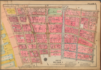
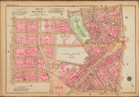
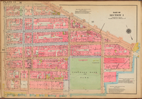
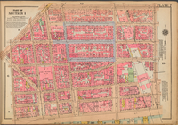
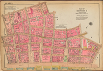
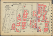
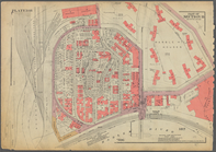
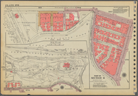
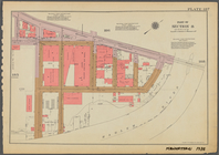
Plate 3: [Bounded by Vesey St…
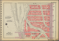
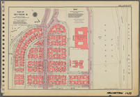
Plate 13: [Bounded by East Br…
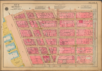
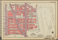
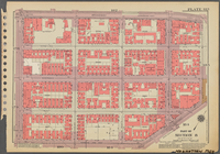
Plate 5: [Bounded by Reade St…
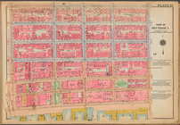
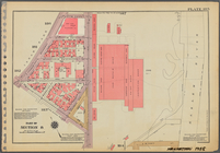
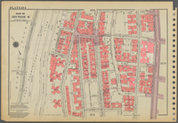
Plate 1: [Bounded by Beaver S…
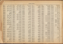
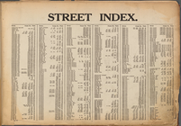
Street Index: [80th Street E.…
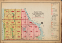
Outline and Index Map of Volu…
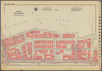
Plate 11: [Bounded by Grand S…
Plate 8: [Bounded by Franklin…
Plate 14: [Bounded by East Br…
Outline and Index Map of Volu…
Plate 2: [Bounded by Carlisle…
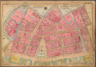
Plate 6: [Bounded by Reade St…
Plate 9: [Bounded by N. Moore…
Outline and Index Map of Volu…
Plate 15: [Bounded by Stanton…
Outline and Index Map of Volu…
Plate 7: [Bounded by East Bro…
Street Index: [Haven Avenue -…
Plate 4: [Bounded by William …
Plate 12: [Bounded by Hester …
Plate 10: [Bounded by Watts S…
Street Index: [Abington Squar…
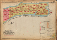
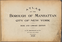
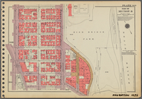
Atlas of the Borough of Manha…
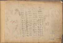
Table for Corrections
Notice of Corrections and Sup…
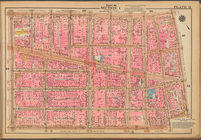
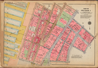
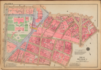
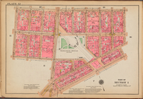
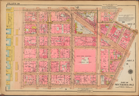
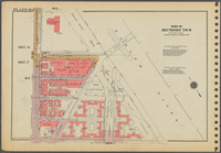
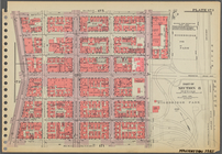
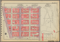
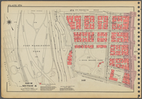
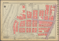
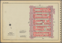
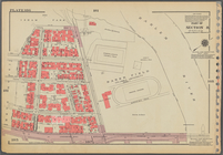
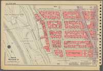
Plate 162, Part of Sections 7…
Plate 173, Part of Section 8:…
Plate 171, Part of Section 8:…
Plate 176, Part of Section 8:…
Plate 163, Part of Section 8:…
Plate 167, Part of Section 8:…
Plate 185, Part of Section 8:…
Plate 188, Part of Section 8:…
Plate 182, Part of Section 8:…
Plate 170, Part of Section 8:…
Plate 180, Part of Section 8:…
Plate 172, Part of Section 8:…
Plate 164, Part of Section 8:…
Plate 186, Part of Section 8:…
Plate 168, Part of Section 8:…
Plate 178, Part of Section 8:…
Plate 177, Part of Section 8:…
Plate 183, Part of Section 8:…
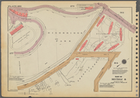
Plate 174: [Bounded by W. 187…
Plate 165, Part of Section 8:…
Plate 181, Part of Section 8:…
Plate 184, Part of Section 8:…
Plate 175, Part of Section 8:…
Plate 187, Part of Section 8:…
Plate 169, Part of Section 8:…
1
2
…
39
40
41
42
43
44
45
46
47
48
49
Previous
Next
1
2
…
39
40
41
42
43
44
45
46
47
48
49
Previous
Next