Click to visit the main New York Public Library Homepage
The New York Public Library
Digital Collections
About Digital Collections
Browse
Search only public domain materials
Items
Collections
Divisions
Home
Search
Browse
About
Search only public domain materials
Items
Collections
Divisions
Digital Collections
Using Images
Using Data
Search
Filtered search
Show filters
Hide filters
Show Only Public Domain
topic
Real property
10172
Fire insurance
5205
Cities & towns
4996
Business enterprises
402
Railroads
317
More
Less
name
Sanborn Map Company
5080
G.W. Bromley & Co
2113
Ullitz, Hugo
702
E.B. Hyde & Co
516
E. Belcher Hyde Map Company
458
More
Less
collection
Atlases of New York City
8716
Atlases of the United States
1938
Maps of New York City and State
1298
Collection of broadside real estate maps announcing auctions of lots in early 19th century New York City
67
Maps of North America
45
More
Less
place
x
New York (State)
New York
3975
Manhattan (New York, N.Y.)
2273
New York (N.Y.)
1221
Brooklyn (New York, N.Y.)
953
More
Less
genre
Maps
12022
Atlases
1937
Cadastral maps
246
Prints
78
Index maps
67
More
Less
publisher
Sanborn Map Company
4998
G.W. Bromley & Co
1985
E. Belcher Hyde
530
E. Robinson Co
241
F. W. Beers & Co
148
More
Less
division
Map Division
11963
Manuscripts and Archives Division
32
Rare Book Division
13
Wallach Division: Print Collection
7
General Research Division
6
More
Less
type
x
cartographic
text
161
still image
15
Date Range
to
12,155 results found
Filtering on:
x
Place
: New York (State)
x
Type
: cartographic
Sort by:
Title
Date created
Date digitized
Sequence
Results 751 - 800
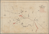
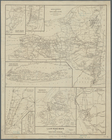
Map of watershed of Ramapo Ri…
Map showing water shed of the…
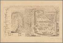
A prospective view of the bat…
m
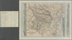
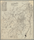
Map of the Catskill Mountains
Map of Shelter Island showin…
Lake Pleasant, - C.H. formerl…
Map of the State of New York …
A chorographical map of the p…
L.A.W. road maps of New York …
Sketch showing the primary tr…
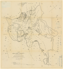
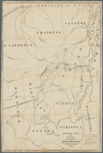
Map of the New York wildernes…
Map showing location of reser…
Geological map of a part of s…
Map of Hamilton, St. Lawrence…
Adirondack survey, 1873: Bald…
m
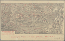
Bird's-eye view of the Catski…
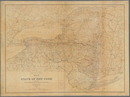
The state of New York
m
The State of New York: from n…
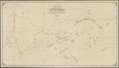
Map of the reservoirs, feeder…
Geology of the Genesee River
A map of the Genesee lands in…
m
Map of New York and vicinity:…
Map of the boundary between t…
Map of the Sacketts Harbor an…
Lloyd's map of the Canadas, N…
Asher & Adams' new map of the…
Rand, McNally & Co.'s New York
m
Map of the Hudson River, show…
Hudson River route: New York …
[Map of the Hudson River] pre…
Diagram showing the relative …
m
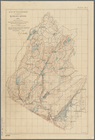
Map of Cayuga and Seneca Coun…
m
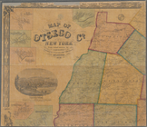
Map of Otsego Co., New York: …
m
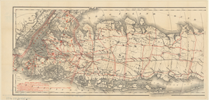
Colton's road map of Long Isl…
Colton's Road map of Sullivan…
A map of the towns of Livings…
Map of the meetings constitut…
Onondaga County & adjacent te…
Long Island for the summer
Route of the Lebanon Springs …
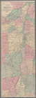
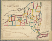
Map of the State of New York
Cattaraugus Reservation of th…
County of Monroe
Map showing the position of t…
Rand McNally & Co.'s new rail…
Map of the rail roads of the …
N.Y State Survey: triangulati…
Map of the New York and North…
Coltons map of the New York w…
Colton's railroad & township …
1
2
3
4
5
6
7
8
9
10
…
48
49
Previous
Next
1
2
3
4
5
6
7
8
9
10
…
48
49
Previous
Next