Click to visit the main New York Public Library Homepage
The New York Public Library
Digital Collections
About Digital Collections
Browse
Search only public domain materials
Items
Collections
Divisions
Home
Search
Browse
About
Search only public domain materials
Items
Collections
Divisions
Digital Collections
Using Images
Using Data
Search
Filtered search
Show filters
Hide filters
Show Only Public Domain
topic
x
Railroads
Roads
13
Local transit
10
Ferries
6
Railroads, Elevated
6
More
Less
name
Rand McNally and Company
8
Colton, G. Woolworth (George Woolworth), 1827-1901
6
American Bank Note Company
4
Atwood, John M., approximately 1818-
4
G.W. & C.B. Colton & Co
4
More
Less
collection
Maps of New York City and State
58
Maps of North America
3
Atlases of the United States
1
place
x
New York Metropolitan Area
New York (State)
49
New York
42
New York (N.Y.)
23
New Jersey
17
More
Less
genre
Maps
62
Road maps
3
Aerial views
2
Topographic maps
2
Atlases
1
More
Less
publisher
G.W. & C.B. Colton & Co
8
The Company
6
publisher unknown
4
Rand, McNally & Co
3
A. Humitsch
2
More
Less
division
Map Division
62
type
cartographic
62
Date Range
to
62 results found
Filtering on:
x
Place
: New York Metropolitan Area
x
Topic
: Railroads
Sort by:
Title
Date created
Date digitized
Sequence
m
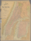
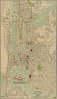
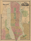
Map showing 50 miles around N…
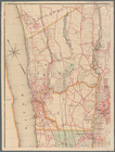
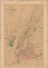
Transportation lines connecti…
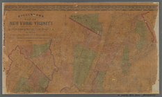
Queens Borough, City of New Y…
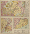
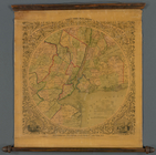
Railroads in Manhattan, Jerse…
Freight terminal map of New Y…
m
Authentic street plan of grea…
m
Map of New York City: showing…
m
Map of a part of northern New…
Map of the railroads of Conne…
m
Map of the city of New York :…
m
Map of New York City : showin…
m
Map of New York City : showin…
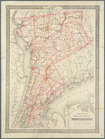
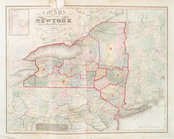
Colton's map of the county of…
Road map of Westchester Co., …
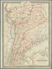
Colton's map of the county of…
m
Map of upper New York City an…
Map of the Hackensack & New Y…
Map showing lines filed by Ne…
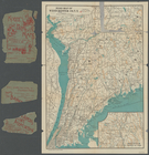
New York and vicinity
m
Higginson's map of New York a…
Map of the cities of New York…
Map of the state of New York …
Map of the country thirty thr…
Map of the state of New-York …
m
Authentic street plan of grea…
Map of the country thirty thr…
Map of New York and vicinity …
Map of the country thirty thr…
Map of the country thirty thr…
Map of the country thirty thr…
Map showing the present dista…
Map of the country thirty thr…
Map of New York City : showin…
Proposed site on Staten Islan…
Bridgman's new map of the Cit…
m
Topographical map of New York…
Map of New York City and vici…
Map of New York City region a…
Erie Railroad suburban lines
Map of the City of New York :…
m
Rand, McNally & Co.'s complet…
Rand McNally standard map of …
Rand, McNally & Co.'s new aut…
Rapid transit map of Kings, Q…
Freight terminal map of New Y…
Map of Hudson & Manhattan Rai…
m
New York und Umgegend
Map of Hudson & Manhattan Rai…
Greater New York and Long Isl…
Greater New York City