Click to visit the main New York Public Library Homepage
The New York Public Library
Digital Collections
About Digital Collections
Browse
Search only public domain materials
Items
Collections
Divisions
Home
Search
Browse
About
Search only public domain materials
Items
Collections
Divisions
Digital Collections
Using Images
Using Data
Search
Filtered search
Show filters
Hide filters
Show Only Public Domain
topic
Harbors
12
Nautical charts
12
Railroads
8
Administrative and political divisions
5
History
4
More
Less
name
Connecticut. Commission on Boundary between the States of New York and Connecticut
3
Graphic Company
3
New York (State), Commissioners on the New York and Connecticut Boundary
3
New York (State). Legislature. Senate
3
Pelham Manor and Huguenot Heights Association
3
More
Less
collection
Maps of New York City and State
31
Lawrence H. Slaughter Collection of English maps, charts, globes, books and atlases
9
Maps of North America
3
Atlases, gazetteers, guidebooks and other books
1
John H. Levine Collection
1
place
x
New York Region
New York (State)
20
New Jersey
12
New York (N.Y.)
10
Connecticut
6
More
Less
genre
Maps
45
Cadastral maps
1
Early works to 1800
1
Facsimiles
1
Geological maps
1
More
Less
publisher
s.n
4
The Commissioners
3
J.B. Beers & Co
2
Printed for Robt. Sayer & John Bennett, sea chart & map-sellers ..
2
Publish'd by J.F.W. Des Barres Esqr
2
More
Less
division
Map Division
45
type
cartographic
44
still image
1
Date Range
to
45 results found
Filtering on:
x
Place
: New York Region
Sort by:
Title
Date created
Date digitized
Sequence
A draught of New York from th…
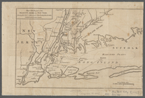
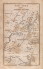
New York and adjacent country.
Vingboons map of Manhattan, 1…
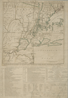
Routes between New-York & Was…
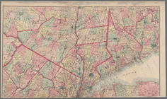
Part of New England, New York…
A geological section of the c…
m
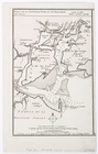
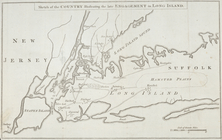
Map of the progress of His Ma…
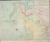
The Country twenty five miles…
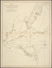
A chart of New York Harbour :…
Ports de la Nouvelle York et …
New York and Perthamboy Harbo…
A draught of New York from th…
Chart of the entrance of Huds…
m
Birds eye view of New York an…
A chart of New York Harbour :…
The country twenty five miles…
A draught of New York and Per…
A chart of New York Harbour :…
A Chart of ye coast of New En…
Pas-Kaart vande zee kusten va…
Road from Philadela. to New Y…
A draught of New York from th…
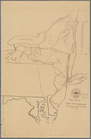
Sketch of the country illustr…
Chart of the entrance of Huds…
m
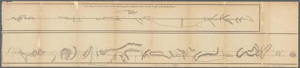
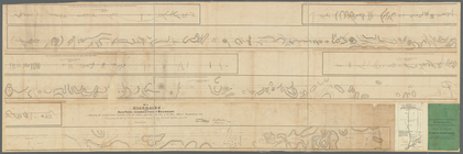
Diagrams of the New-York and …
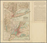
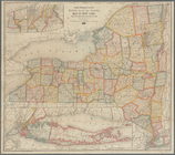
The Century atlas, New York, …
Diagrams of the New-York and …
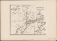
Map no. I, New Netherland
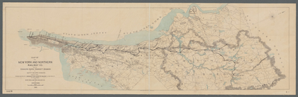
Map of the New York and North…
Rand McNally & Co.'s new rail…
Map of New Netherland: accord…
Diagram showing the relative …
m
Map of New York and vicinity:…
Geological map of a part of s…
Operations after the evacuati…
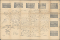
Towns of West Farms and Morri…
Van Der Donck's map of New Ne…
Map showing location of lands…
Map showing location of lands…
m
Map of the property of the Yo…
Map of New Netherland with a …
Topographical map of that por…
Map of the country thirty-thr…
Map of New York and vicinity …
Map showing location of lands…
End of results
|
Top