Click to visit the main New York Public Library Homepage
The New York Public Library
Digital Collections
About Digital Collections
Browse
Search only public domain materials
Items
Collections
Divisions
Home
Search
Browse
About
Search only public domain materials
Items
Collections
Divisions
Digital Collections
Using Images
Using Data
Search
Filtered search
Show filters
Hide filters
Show Only Public Domain
topic
Administrative and political divisions
10
Railroads
6
Early works to 1800
3
Maps
3
Travel
2
More
Less
name
Ely, W. W., -1879
6
G.W. & C.B. Colton & Co
6
Montrésor, John, 1736-1799
5
Andrews, Peter, active 1765-1782
4
Dury, Andrew
4
More
Less
collection
x
Maps of New York City and State
place
x
Northeastern States
New York (State)
18
Adirondack Mountains (N.Y.)
7
New England
3
New Netherland
2
More
Less
genre
Maps
21
Early maps
2
Facsimiles
2
Geological maps
1
publisher
Engraved, printed and published by G.W. & C.B. Colton & Co
6
A. Dury ..
4
publisher not identified
4
Adirondack R'y
1
Chez Le Rouge, Ingr. Geog du Roi rue des Grands Augustins
1
More
Less
division
Map Division
21
type
cartographic
21
Date Range
to
21 results found
Filtering on:
x
Place
: Northeastern States
x
Collection
: Maps of New York City and State
For more collection details, visit the
Maps of New York City and State collection page
.
Sort by:
Title
Date created
Date digitized
Sequence
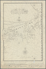
Nieu Nederlandt
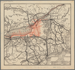
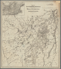
Map of the Rome, Watertown an…
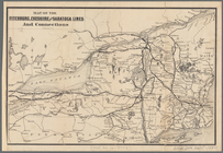
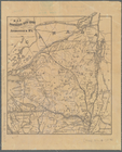
Map of the Fitchburg, Cheshir…
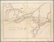
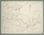
Map showing route of the New …
m
Niev Nederlandt
This colour'd map exhibits a …
Carte pour servir à l'itinéra…
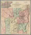
Coltons map of the New York w…
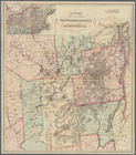
Map of the New York wildernes…
Colton's map of the New York …
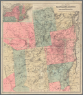
Map of the New York Wildernes…
Map of the New York Wildernes…
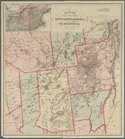
Map of the New York wildernes…
m
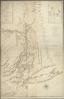
Post route map of the State o…
Map of northern New York: sho…
Map shewing the rail roads be…
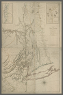
A map of the Province of New …
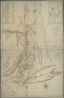
A map of the Province of New …
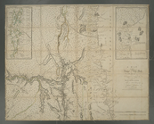
A map of the Province of New …
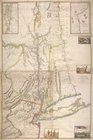
A map of the Province of New …
Province de New-York : en 4 f…
End of results
|
Top