Click to visit the main New York Public Library Homepage
The New York Public Library
Digital Collections
About Digital Collections
Browse
Search only public domain materials
Items
Collections
Divisions
Home
Search
Browse
About
Search only public domain materials
Items
Collections
Divisions
Digital Collections
Using Images
Using Data
Search
Filtered keyword search
Show filters
Hide filters
Show Only Public Domain
topic
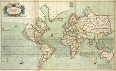
World maps
3
Maps
2
Castles & palaces
1
Cuba
1
Forts & fortifications
1
More
Less
name
x
Thornton, Samuel
Nottingham, Daniel Finch, Earl of, 1647-1730
1
collection
Atlases, gazetteers, guidebooks and other books
174
place
Atlantic Ocean
14
English Channel
14
Biscay, Bay of (France and Spain)
11
Mediterranean Sea
11
Brittany (France)
8
More
Less
genre
Maps
173
Nautical charts
173
pages (components)
1
division
Map Division
174
type
x
cartographic
Date Range
to
174 results found for:
x
Thornton, Samuel
Filtering on:
x
Name
: Thornton, Samuel
x
Type
: cartographic
Sort by:
Relevance
Title
Date created
Date digitized
Sequence
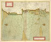
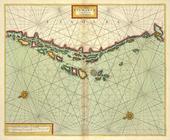
The Sea-Atlas.
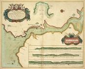
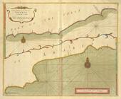
DARTMOUTH
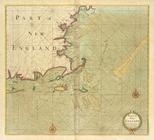
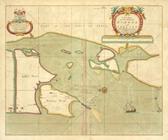
Part of NEW ENGLAND
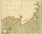
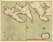
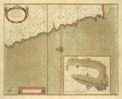
A large draught of the south …
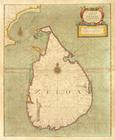
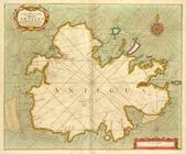
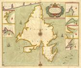
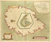
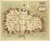
A new mapp of the Island of Z…
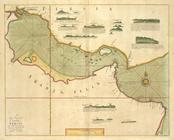
A large draught of the GOLF o…
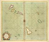
A chart of THE ISLES off CAPE…
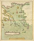
A new chart of the ARCHIPELAGO
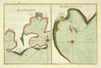
Bay of Touloun ; Bay of Marce…
A chart of JUTLAND and the Is…
A new and correct Mapp of the…
The Chart of FINMARCK from Dr…
The coast of NORWAY; between …
A chart of the EAST-SEA
A chart of coast SWEDEN from …
A chart of the NORTH SEA
The cheife Harbours in the Is…
Moray Firth and Sutherland, S…
BURLINGTON BAY, Scarbrouth an…
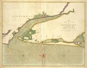
The River Humber
A Large Draught of the DOWNES
A new chart of the IRISH SEA
The county of Waterford
The Harbour of Corke.
The River of BOURDEAUX and Ba…
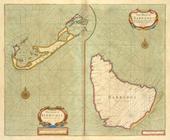
The Iland of Babados ; Island…
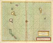
A large chart of the Island A…
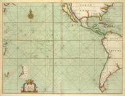
A generall chart of the South…
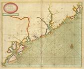
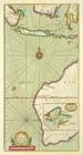
A large draft of SOUTH CAROLI…
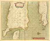
A new mapp of CAROLINA ; A la…
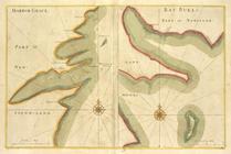
HARBOR GRACE part of New -Fou…
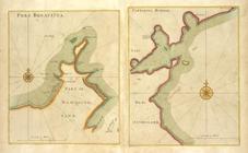
PORT BONAVISTA part of New-fo…
A new chart of the trading pa…
A chart od Iland of NEW FOUND…
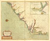
A draught of the coast of NEW…
A large draught of the east e…
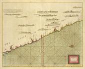
A large draught of the coast …
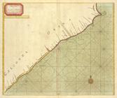
A new chart of the coast of O…
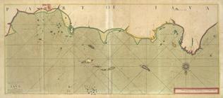
A large draught of the MALLAB…
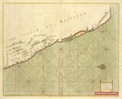
A large draught of parrt of t…
A new mapp of the Island of B…
A large draught of the coast …
A chart of the straits of BAB…
A chart of the Island of MAUR…
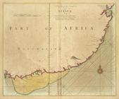
A draught of the south part o…
A draught of Cape Bona ESPERA…
A chart of the CANARIE and MA…
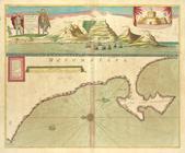
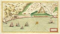
A prospect of James Fort on t…
A new mapp of the Island of S…
A chart of coasts of CIMBEBAS…