Click to visit the main New York Public Library Homepage
The New York Public Library
Digital Collections
About Digital Collections
Browse
Search only public domain materials
Items
Collections
Divisions
Home
Search
Browse
About
Search only public domain materials
Items
Collections
Divisions
Digital Collections
Using Images
Using Data
Search
Filtered keyword search
Show filters
Hide filters
Show Only Public Domain
topic
Real property
20
Landowners
18
Railroads
11
Administrative and political divisions
10
Local transit
6
More
Less
name
x
Dripps, M. (Matthew)
Korff Brothers
3
Conner, R. F. O
2
Ed. W. Welcke & Bro
2
Harrison, John F
2
More
Less
collection
x
Maps of New York City and State
place
x
New York (State)
New York
19
Brooklyn (New York, N.Y.)
13
New York (N.Y.)
13
Manhattan (New York, N.Y.)
10
More
Less
genre
Maps
32
Cadastral maps
8
Nautical charts
1
Topographic maps
1
publisher
M. Dripps
21
Published by M. Dripps
2
M. Dripps
1
D.T. Valentine
1
M. Dripps (Ed. W. Welche & Bro. Photo-Lith. N.Y.)
1
More
Less
division
Map Division
32
type
cartographic
32
Date Range
to
32 results found for:
x
map
Filtering on:
x
Name
: Dripps, M. (Matthew)
x
Place
: New York (State)
x
Collection
: a1a9d830-c5a6-012f-00ec-58d385a7bc34
Sort by:
Relevance
Title
Date created
Date digitized
Sequence
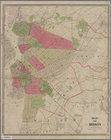
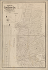
Map
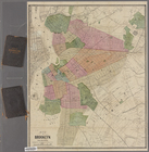
of Brooklyn and vicinity
m
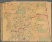
Map
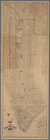
of Tarrytown, Irvington etc, Westchester
note:
Maps
show landowners, roards, railroads
m
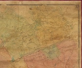
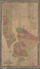
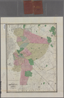
Map
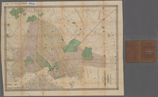
of Kings and part of Queens Counties
note:
Cadastral
map
showing property owners
m
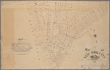
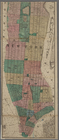
Map
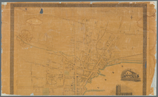
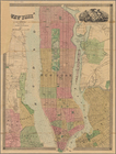
of New York City
m
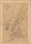
Map
of the city of New-York extending
note:
Haskell, D.C. Manhattan
maps
, 945
Map
of the city of Brooklyn, New York
note:
NYPL
Map
Div. copy has accession no
m
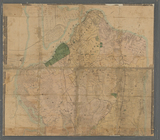
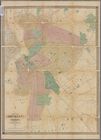
Map
of the southern part of West-Chester
note:
Cadastral
map
showing property owners
m
Map
of Coney Island and Sheepshead Bay
Map
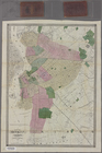
of Kings and part of Queens Counties
note:
Cadastral
map
showing property owners
Map
of Long Island City, Queens Co. N.Y.
m
Map
of the city of Albany
note:
Includes inset
map
: "Plan of the city west
m
Map
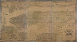
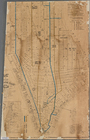
of the city of New York.
Map
of the cities of New York, Brooklyn
m
Map
of New York City south of 132d St.
m
Map
of Geneva, Ontario Co., N.Y.
note:
Mapping
the Nation (NEH grant, 2015-2018)…
Map
of the cities of New York and Brooklyn
note:
Cadastral
map
. Covers Manhattan
m
Map
of Staten Island (Richmond Co.) N.Y
note:
NYPL
Map
Div. copy has accession no
m
Topographical
map
of New York and vicinity …
note:
Insets: Navesink Park --
Map
of Long
m
Map
of Brooklyn and vicinity
Asher & Adams'
map
of the bays, harbors
image:
psnypl_
map
_292
New York and vicinity
collection:
Maps
of New York City and State
m
Map
of Brooklyn and vicinity
m
Map
of Brooklyn and vicinity
Topographical
map
of New York City, County
note:
Mapping
the Nation (NEH grant, 2015-2018)…
m
Topographical
map
of New York City, county
note:
Cadastral
map
covering area south of 155
m
Topographical
map
of New York City, County
note:
Cadastral
map
. Covers the area south
m
Map
of Brooklyn and vicinity
Map
of Brooklyn and vicinity
m
Map
of New York City south of 135th
m
Map
of Kings and part of Queens counties
note:
Mapping
the Nation (NEH grant, 2015-2018)…
m
Map
of Kings County N.Y.
New-York City, County and vic…
note:
Map
in 2 segments.
End of results
|
Top