Click to visit the main New York Public Library Homepage
The New York Public Library
Digital Collections
About Digital Collections
Browse
Search only public domain materials
Items
Collections
Divisions
Home
Search
Browse
About
Search only public domain materials
Items
Collections
Divisions
Digital Collections
Using Images
Using Data
Search
Filtered search
Show filters
Hide filters
Show Only Public Domain
topic
Real property
11
Maps
6
name
x
G.W. Bromley & Co
Bromley, George Washington
13
Bromley, Walter Scott
13
collection
Atlases of New York City
22
Atlases of the United States
3
place
New York (State)
15
Manhattan (New York, N.Y.)
12
New York
12
Brooklyn (New York, N.Y.)
6
New York (N.Y.)
5
More
Less
genre
Maps
25
Atlases
3
publisher
x
G.W. Bromley & Co
division
Map Division
25
type
cartographic
25
Date Range
to
25 results found
Filtering on:
x
Name
: G.W. Bromley & Co.
x
Note
: "Richardson, Sc. N.Y."--signature in block.
x
Publisher
: G.W. Bromley & Co.
Sort by:
Title
Date created
Date digitized
Sequence
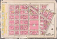
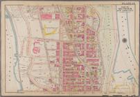
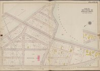
Bounded by Avenue K., Ralph A…
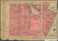
Bounded by E. 103rd Street, A…
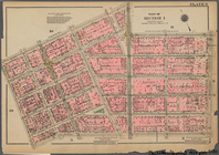
Bounded by Bayard Street, Gra…
Bounded by Calyer Street, Fro…
Bounded by Noble St., Manhatt…
Bounded by Metropolitan Ave.,…
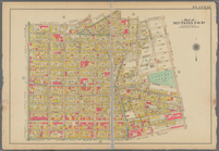
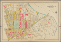
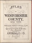
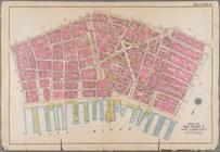
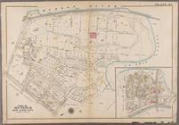
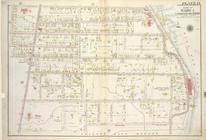
Atlas of Westchester County. …
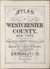
Atlas of Westchester County. …
Westchester, V. 2, Double Pag…
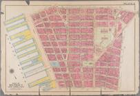
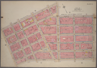
Bounded by N. Moore Street, W…
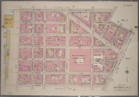
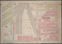
Bounded by Watts Street, Sull…
Bounded by W. 37th Street, Ni…
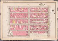
Plate 2: Bounded by Jay Stree…
Plate 3: Bounded by William S…
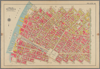
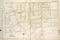
Plate 45: Bounded by W. 170th…
Plate 49: Bounded by Harlem R…
Bounded by N. Moore Street, W…
Bounded by Watts Street, Sull…
Plate 2, Part of Section 4: […
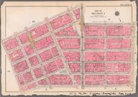
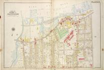
Plate 14, Part of Ward 1 [Map…
Plate 15, Part of Ward 1 [Map…
Plate 16, Part of Ward 1 [Map…
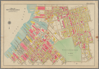
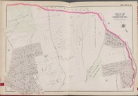
Plate 32 [Map bounded by Mosh…
Bounded by Watts Street, Sull…
Bounded by N. Moore Street, W…
End of results
|
Top