Click to visit the main New York Public Library Homepage
The New York Public Library
Digital Collections
About Digital Collections
Browse
Search only public domain materials
Items
Collections
Divisions
Home
Search
Browse
About
Search only public domain materials
Items
Collections
Divisions
Digital Collections
Using Images
Using Data
Search
Filtered search
Show filters
Hide filters
Show Only Public Domain
topic
Real property
7
Charts, diagrams, etc
4
Landowners
4
Administrative and political divisions
3
Altitudes
3
More
Less
name
x
Pease, Richard H., 1813-1869
Vaughan, David, active 1849-1864
8
Emmons, Ebenezer, Jr
3
New York (State). State Engineer and Surveyor
3
Olmsted, Charles A
3
More
Less
collection
Maps of New York City and State
22
Wallach Division Picture Collection
4
Maps of North America
3
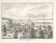
Aurora, N.Y. from the North Poplars
1
place
New York (State)
17
Erie Canal (N.Y.)
3
Finger Lakes Region (N.Y.)
2
Genesee Region (N.Y.)
2
North America
2
More
Less
genre
Maps
26
Facsimiles
4
Prints
4
Cadastral maps
3
Aerial views
1
More
Less
publisher
Lith. of R.H. Pease
6
publisher not identified
6
New York State Engineer and Surveyor?
3
Lith of R.H. Pease
2
Weed, Parsons & Co.,
2
More
Less
division
Map Division
25
Wallach Division: Picture Collection
1
Wallach Division: Print Collection
1
type
cartographic
25
still image
5
Date Range
to
30 results found
Filtering on:
x
Name
: Pease, Richard H., 1813-1869
Sort by:
Title
Date created
Date digitized
Sequence
Aurora, N.Y. from the North P…
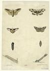
Caterpillars transforming int…
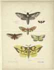
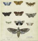
Moths, New York state
Butterflies
Ancient burial place or trenc…
Rome in 1802.
Utica in 1802.
Little Falls in 1802.
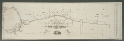
Statistical profile of the Bl…
Champlain's map of New France…
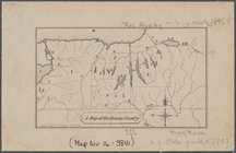
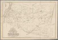
A map of the Genesee country:…
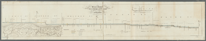
Statistical profile of Erie C…
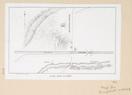
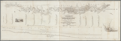
Sketch of part of the Black R…
A chorographical map of the p…
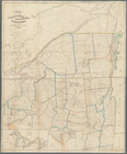
A map of the towns of Livings…
Map of the Sacketts Harbor an…
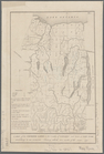
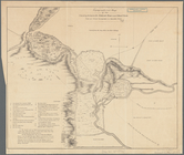
A map of the Genesee lands in…
A chorographical map of the p…
Topographical map of the coun…
Carta particolare della nuoua…
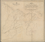
Map of the head waters of the…
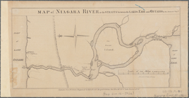
Map of Niagara River or the s…
Statistical profile, Erie Can…
Map of part of Fairfield Coun…
Plan of the city of Albany ab…
Map of French & English grant…
m
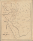
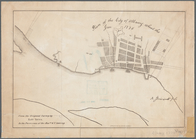
Village of Buffalo
A prospective view of the bat…
A map of part of the land in …
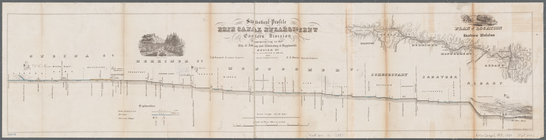
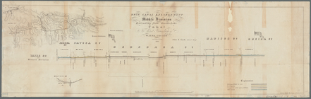
Erie Canal enlargement, middl…
End of results
|
Top