Click to visit the main New York Public Library Homepage
The New York Public Library
Digital Collections
About Digital Collections
Browse
Search only public domain materials
Items
Collections
Divisions
Home
Search
Browse
About
Search only public domain materials
Items
Collections
Divisions
Digital Collections
Using Images
Using Data
Search
Filtered search
Show filters
Hide filters
Show Only Public Domain
topic
x
Real property
Fire insurance
105
name
x
Perris, William
Perris & Browne
130
collection
Atlases of New York City
258
Maps of New York City and State
2
place
New York
260
New York (State)
260
Manhattan (New York, N.Y.)
258
Brooklyn (New York, N.Y.)
2
genre
Maps
259
Index maps
13
Title pages
13
publisher
Perris & Browne
124
William Perris
105
Lith. by Korff Brothers
23
William Perris, Civil Engineer
23
Perris & Browne
6
More
Less
division
Map Division
130
type
cartographic
258
text
13
Date Range
to
260 results found
Filtering on:
x
Name
: Perris, William
x
Topic
: Real property
Sort by:
Title
Date created
Date digitized
Sequence
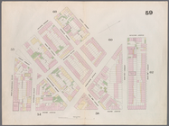
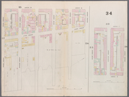
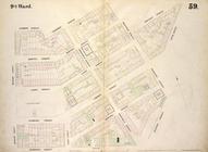
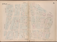
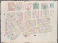
1st & 2nd Wards. [Map bounded…
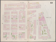
1st & 3rd Wards. [Map bounded…
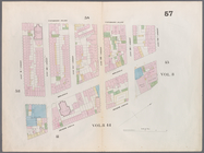
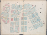
1st Ward. [Map bounded by Bow…
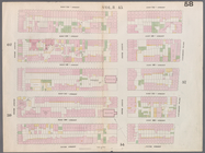
1st Ward. [Map bounded by Exc…
1st Ward. [Map bounded by Lib…
1st Ward. [Map bounded by Sto…
1st Ward. [Map bounded by Wes…
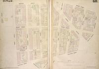
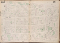
2nd & 4th Wards. [Map bounded…
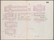
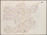
2nd Ward. [Map bounded by Bro…
2nd Ward. [Map bounded by Pea…
2nd Ward. [Map bounded by Wil…
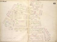
3rd Ward. [Map bounded by Col…
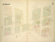
3rd Ward. [Map bounded by Ful…
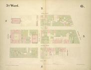
3rd Ward. [Map bounded by Gre…
3rd Ward. [Map bounded by Rob…
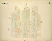
3rd Ward. [Map bounded by Wes…
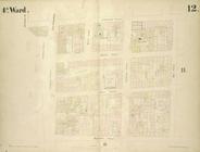
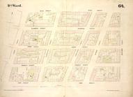
4th Ward. [Map bounded by Cat…
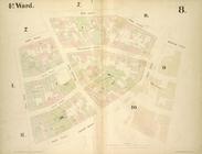
4th Ward. [Map bounded by Gol…
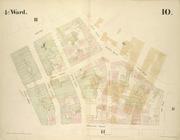
4th Ward. [Map bounded by Pec…
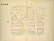
4th Ward. [Map bounded by Roo…
4th Ward.[Map bounded by Oak …
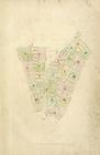
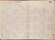
Index Map
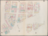
Map bounded by 12th Street, S…
Map bounded by 14th Street, F…
Map bounded by 14th Street, U…
Map bounded by 4th Street, Bo…
Map bounded by 4th Street, Gr…
Map bounded by 5th Street, Av…
Map bounded by 5th Street, Fi…
Map bounded by 6th Street, Av…
Map bounded by 8th Street, Ea…
m
Map bounded by 9th Street, Fo…
Map bounded by 9th Street, Un…
Map bounded by Amos Street, C…
Map bounded by Bank Street, B…
Map bounded by Barrow Street,…
Map bounded by Battery Place,…
Map bounded by Bleecker Stree…
Map bounded by Bleeker Street…
Map bounded by Bleeker Street…
Map bounded by Bowery, Grand …
Map bounded by Bowery, Riving…
Map bounded by Bowling Green …
Map bounded by Broadway, Park…
Map bounded by Broome Street,…
Map bounded by Broome Street,…
Map bounded by Canal Street, …
Map bounded by Canal Street, …
Map bounded by Canal Street, …
Map bounded by Canal Street, …
1
2
Previous
Next
1
2
Previous
Next