Click to visit the main New York Public Library Homepage
The New York Public Library
Digital Collections
About Digital Collections
Browse
Search only public domain materials
Items
Collections
Divisions
Home
Search
Browse
About
Search only public domain materials
Items
Collections
Divisions
Digital Collections
Using Images
Using Data
Search
Filtered search
Show filters
Hide filters
Show Only Public Domain
topic
Canals
9
Administrative and political divisions
6
Railroads
5
Charts, diagrams, etc
4
Altitudes
3
More
Less
name
x
Vaughan, David, active 1849-1864
Pease, Richard H., 1813-1869
8
New York (State). State Engineer and Surveyor
4
Van Benthuysen, C. (Charles), 1817-1881
4
New York (State). Board of Railroad Commissioners
3
More
Less
collection
x
Maps of New York City and State
place
New York (State)
13
Connecticut
3
Erie Canal (N.Y.)
3
Massachusetts
3
New Jersey
3
More
Less
genre
Maps
14
publisher
New York State Engineer and Surveyor?
4
Lith. of R.H. Pease
3
New York State Board of Railroad Commissioners?
3
Lith of Richd. H. Pease
1
Lith. of J.E. Gavit, Exchange
1
More
Less
division
Map Division
14
type
cartographic
14
Date Range
to
14 results found
Filtering on:
x
Name
: Vaughan, David, active 1849-1864
x
Collection
: Maps of New York City and State
For more collection details, visit the
Maps of New York City and State collection page
.
Sort by:
Title
Date created
Date digitized
Sequence
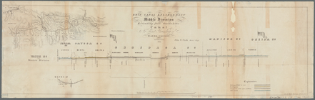
Erie Canal enlargement, middl…
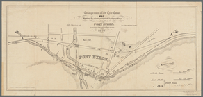
Enlargement of the Erie Canal…
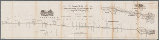
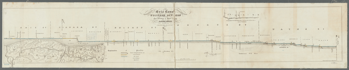
Statistical profile, Erie Can…
m
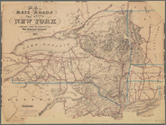
Map of the rail-roads of the …
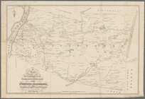
A chorographical map of the p…
A map of the towns of Livings…
A chorographical map of the p…
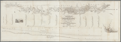
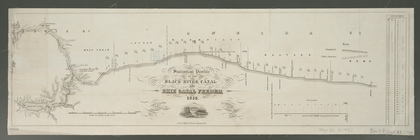
Sketch of part of the Black R…
Statistical profile of Erie C…
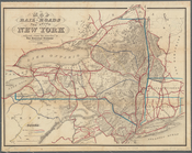
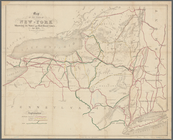
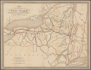
Map of the State of New-York:…
Map of the state of New-York …
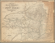
Map of the rail-roads of the …
Map of the rail-roads of the …
Statistical profile of the Bl…
End of results
|
Top