Click to visit the main New York Public Library Homepage
The New York Public Library
Digital Collections
About Digital Collections
Browse
Search only public domain materials
Items
Collections
Divisions
Home
Search
Browse
About
Search only public domain materials
Items
Collections
Divisions
Digital Collections
Using Images
Using Data
Search
Filtered search
Show filters
Hide filters
Show Only Public Domain
topic
Real property
1666
Fire insurance
932
Cities & towns
931
Maps
23
History
19
More
Less
name
Sanborn Map Company
933
G.W. Bromley & Co
468
Bromley, George Washington
258
Bromley, Walter Scott
258
Ullitz, Hugo
151
More
Less
collection
Atlases of New York City
1791
Atlases of the United States
232
Maps of North America
50
Maps of New York City and State
44
Lawrence H. Slaughter Collection of English maps, charts, globes, books and atlases
20
More
Less
place
New York (State)
1710
New York
620
Manhattan (New York, N.Y.)
346
New York (N.Y.)
256
Bronx (New York, N.Y.)
231
More
Less
genre
Maps
2169
Atlases
232
Topographic maps
31
Prints
29
Cadastral maps
21
More
Less
publisher
Sanborn Map Company
965
G.W. Bromley & Co
447
E. Belcher Hyde
92
E. Robinson Co
92
Topographical Bureau
59
More
Less
division
Map Division
2150
General Research Division
18
Manuscripts and Archives Division
7
Pforzheimer Collection
4
Wallach Division: Print Collection
4
More
Less
type
x
cartographic
text
12
still image
9
Date Range
to
2,193 results found
Filtering on:
x
Note
: "E J M"--initials in plate.
x
Type
: cartographic
Sort by:
Title
Date created
Date digitized
Sequence
m
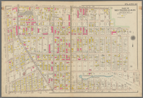
Maps of property in the city …
m
Report on the work of the com…
Map of Camp Chase. Drawn on a…
Residence of James Carrigan, …
m
A chart of the discoveries of…
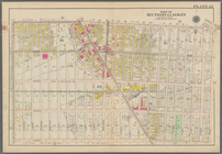
Atlas of the Oranges embracin…
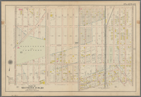
Map of Newtown, Long Island :…
m
H.M.S. Aeolus and H.M.S. Norw…
Harrison's map of Jersey City…
m
Map of property at Fairmount…
Pianta topografica di alcune …
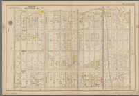
Bounded by Avenue K., Ralph A…
Bounded by E. 103rd Street, A…
Bounded by Avenue D., Ralph A…
Bounded by Rockaway Avenue, R…
Bounded by Ralph Avenue, E. 9…
Bounded by Avenue J., E. 56th…
Bounded by Avenue P., E. 31st…
Bounded by Avenue V., Knapp S…
Bounded by Ocean Parkway, Ave…
Bounded by Avenue M., Coney I…
Bounded by Avenue I., Ocean A…
Bounded by (Vanderveer Park) …
Bounded by Regent Place, Tild…
Bounded by Winthrop Street, (…
Bounded by 58th Street, West …
m
Lehman, A.E
m
Law, E.M
Chengwatana, Pine County, M.T…
Map of Chicago showing water …
Map of lots to be sold at pub…
Map of three lots of land in …
General map to accompany the …
Township no. 74 N. range no.…
J.L. Hill Printing Co.'s map …
m
Map of the vicinity of Philad…
Plan of a mineral estate situ…
J.H. Colton's topographical m…
Map showing the routes travel…
Chart of the N.W. coast of Am…
Carte du Soudan Occidental dr…
Reconnaissance of the S.E. en…
m
A new and accurat[e] detail m…
m
Brooklyn water lots for Jacob…
m
Division line between W. N. a…
m
Mr. Maxwell's store and J. De…
Sketch E showing the progress…
Copy of a ms. map of a portio…
Sketch E no. 2 : showing the …
Extract of military map of N.…
1
2
3
4
5
6
7
8
9
Previous
Next
1
2
3
4
5
6
7
8
9
Previous
Next