Click to visit the main New York Public Library Homepage
The New York Public Library
Digital Collections
About Digital Collections
Browse
Search only public domain materials
Items
Collections
Divisions
Home
Search
Browse
About
Search only public domain materials
Items
Collections
Divisions
Digital Collections
Using Images
Using Data
Search
Filtered search
Show filters
Hide filters
Show Only Public Domain
topic
Real property
341
Fire insurance
257
Cities & towns
246
Maps
2
Street addresses
2
name
Sanborn Map Company
257
Ullitz, Hugo
58
G.W. Bromley & Co
48
Bromley, George Washington
45
Bromley, Walter Scott
45
More
Less
collection
x
Atlases of New York City
place
New York (State)
354
New York
108
Brooklyn (New York, N.Y.)
82
Queens (New York, N.Y.)
45
Staten Island (New York, N.Y.)
42
More
Less
genre
Maps
493
Cadastral maps
2
publisher
Sanborn Map Company
252
E. Belcher Hyde
88
G.W. Bromley & Co
46
E. Belcher Hyde
38
G.M. Hopkins & Co
35
More
Less
division
Map Division
493
type
cartographic
493
Date Range
to
493 results found
Filtering on:
x
Note
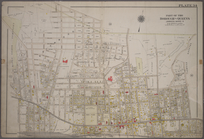
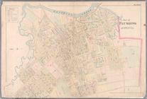
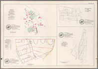
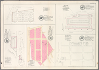
: "Pl. VII"--lettered at top left.
x
Rights
: Public Domain
x
Collection
: Atlases of New York City
For more collection details, visit the
Atlases of New York City collection page
.
Sort by:
Title
Date created
Date digitized
Sequence
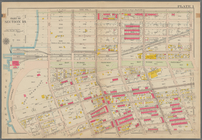
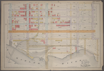
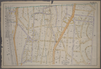
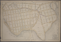
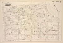
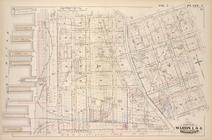
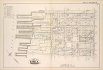
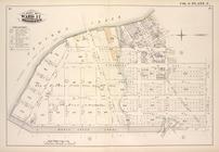
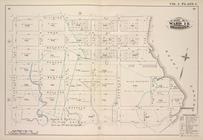
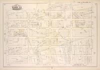
Bounded by Mackay Pl., 1st Av…
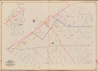
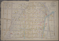
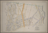
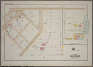
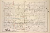
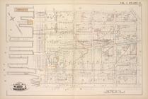
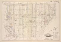
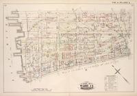
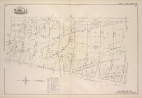
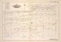
Bounded by 60th St., Seventh …
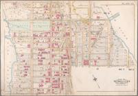
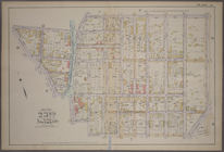
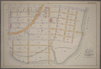
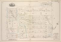
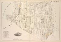
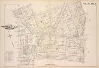
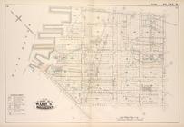
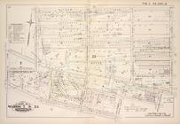
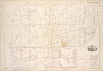
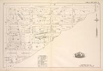
Bounded by E. 52nd St., Avenu…
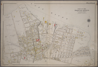
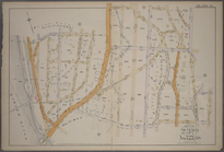
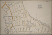
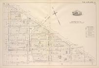
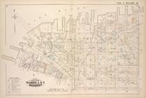
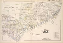
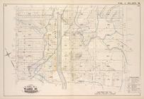
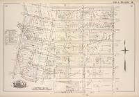
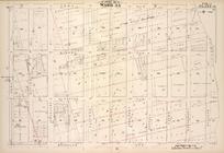
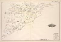
Bounded by W. 158th Street, K…
Plate 25: Bounded by (East Ri…
Plate 34: Bounded by Bischoff…
Plate 9: [Bounded by Lawrence…
Plate 34: Map No. 154 [Bounde…
Plate 36: Vol. 3 of Maps, Pag…
Plate 1: [Bounded by E. 137th…
Plate 6: [Bounded by E. 162nd…
Plate 8: [Bounded by E. 164th…
Plate 12: [Bounded by Devoe S…
Plate 13: [Bounded by Depot P…
Plate 15: [Bounded by Boston …
Plate 18: [Bounded by E. 138t…
Plate 20: [Bounded by Dongan …
Plate 21: [Bounded by Winslow…
Plate 32: Part of Section 10,…
Map bound by La Fayette Ave.,…
Map bound by Atlantic Ave., F…
Map bound by St. Johns Place,…
Map bound by Tenth St., Ninth…
Map bound by Ninth Ave., Pros…
Map bound by East River, Brid…
Map bound by Poplar St., Sand…
Map bound by Pierrepont St., …
Map bound by Johnson St., Pea…
Map bound by Washington Park,…
Map bound by Atlantic Ave., C…
Map bound by Bond St., Fulton…
Map bound by Harrison St., He…
Map bound by Butler St., Four…
Map bound by Newtown Creek, C…
Map bound by N.6th St., Sixth…
Map bounded by Putnam Ave., T…
Map bound by Atlantic Ave., N…
Map bound by Herkimer St., Tr…
Map bound by Decatur St., Pat…
Map bound by Decatur St., Sar…
Map bound by Meeker Ave., New…
Map bound by Division Pl., Ne…
Map bound by Roges Ave., City…
Map bound by Brooklyn Ave., C…
Map bound by Troy Ave., City …
Map bound by Dean St., Pacifi…
Map bound by Atlantic Ave., H…
Map bound by Prospect Pl., Ho…
Map bound by Herkimer St., Ro…
Map bound by Bayard (Sanford)…
1
2
Previous
Next
1
2
Previous
Next