Click to visit the main New York Public Library Homepage
The New York Public Library
Digital Collections
About Digital Collections
Browse
Search only public domain materials
Items
Collections
Divisions
Home
Search
Browse
About
Search only public domain materials
Items
Collections
Divisions
Digital Collections
Using Images
Using Data
Search
Filtered search
Show filters
Hide filters
Show Only Public Domain
topic
Real property
191
Fire insurance
92
Cities & towns
91
Maps
11
Zoning
6
More
Less
name
Sanborn Map Company
92
Ullitz, Hugo
77
E. Belcher Hyde Map Company
73
E.B. Hyde & Co
73
G.W. Bromley & Co
31
More
Less
collection
x
Atlases of New York City
place
New York (State)
207
New York
109
Brooklyn (New York, N.Y.)
82
Maps
69
New York (N.Y.)
36
More
Less
genre
Maps
249
Topographic maps
4
Cadastral maps
1
publisher
Sanborn Map Company
93
E. Belcher Hyde
77
G.W. Bromley & Co
27
E. Robinson Co
6
J.E. Serrell
5
More
Less
division
Map Division
249
type
cartographic
249
text
1
Date Range
to
249 results found
Filtering on:
x
Note
: [2 written sides], with envelope, postmarked "Jul 30 88."
x
Collection
: Atlases of New York City
For more collection details, visit the
Atlases of New York City collection page
.
Sort by:
Title
Date created
Date digitized
Sequence
m
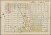
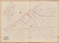
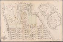
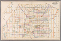
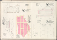
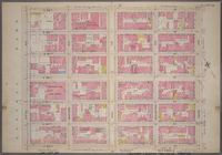
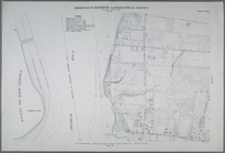
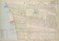
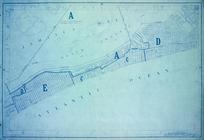
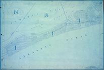
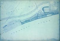
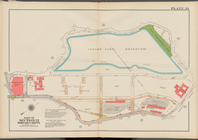
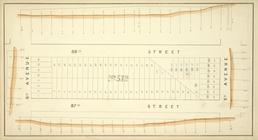
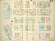
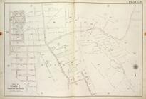
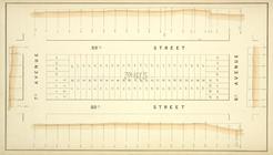
Map 30 - Brooklyn and Queens
Bounded by Avenue P., E. 31st…
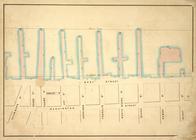
Bounded by Avenue V., Knapp S…
Bounded by 85th Street, 1st A…
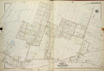
Bounded by 72nd Street, 21st …
Bounded by Mackay Pl., 1st Av…
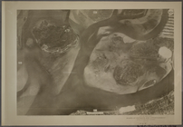
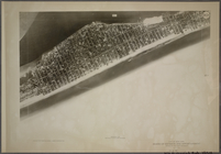
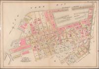
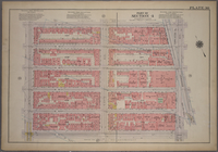
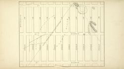
30A - N.Y. City (Aerial Set).
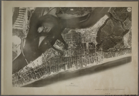
30B - N.Y. City (Aerial Set).
30C - N.Y. City (Aerial Set).
30D - N.Y. City (Aerial Set).
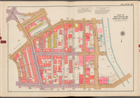
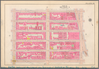
Double Page Plate No. 30, Par…
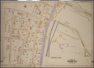
Plate 30:: [Bounded by W. 152…
Bounded by E. 52nd St., Avenu…
Double Page Plate No. 30, Par…
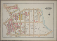
Plate 30: Map bounded by Berg…
Plate 30: Bounded by Fifth Av…
Plate 30: Bounded by W. 166th…
Plate 30: Bounded by Seneca A…
Plate 30: [Bounded by New Yor…
Plate 30: Bounded by Nassau R…
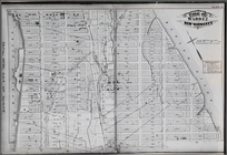
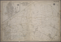
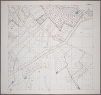
Plate 30: Town of Greenburgh,…
Plate 30: [Bounded by Ditmas …
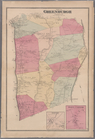
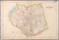
Plate 30: Town of Newtown.
Plate 30: Map No. 368 [Bounde…
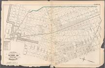
Plate 36: Vol. 3 of Maps, Pag…
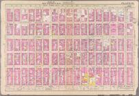
Plate 30, Part of Section 4: …
Plate 30, Part of Section 5: …
Double Page Plate No. 30, Par…
Plate 30, Part of Section 10,…
Plate 30, Part of Section 5: …
m
Plate 30, Part of Section 4: …
Sheet 30: Grid #24000E - 2800…
Sheet No. 30. [Includes Aubur…
Sheet No. 88. [Includes Ploug…
Plate 30, Part of Ward 3: [Ma…
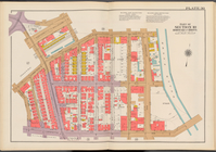
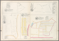
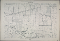
Area District Map Section No.…
Height District Map Section N…
Use District Map Section No. …
Double Page Plate No. 30, Par…
Block No. 572 Map bounded by …
Plate 30: Map bounded by Cann…
Plate 30, Part of Ward 2 [Map…
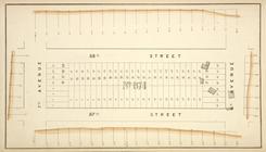
Block No. 674 Map bounded by …
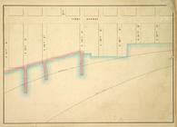
Map bounded by First Avenue, …
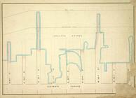
Map bounded by Pier - Line, W…
Block No. 675 Map bounded by …
Map bounded by Pier - Line 30…
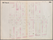
Plate 30, Part of Ward 5 [Map…
Map bounded by 7th Avenue, 96…
Block No. 573 Map bounded by …