Click to visit the main New York Public Library Homepage
The New York Public Library
Digital Collections
About Digital Collections
Browse
Search only public domain materials
Items
Collections
Divisions
Home
Search
Browse
About
Search only public domain materials
Items
Collections
Divisions
Digital Collections
Using Images
Using Data
Search
Filtered search
Show filters
Hide filters
Show Only Public Domain
topic
Streets
409
Street photography
405
Real property
19
Restaurants
5
Fire insurance
4
More
Less
name
Stone, Dylan, 1967-
405
G.W. Bromley & Co
12
Sperr, Percy Loomis, 1890-1964
9
Perris, William
6
Bromley, George Washington
4
More
Less
collection
Drugstore Photographs, Or, A Trip Along the Yangtze River, 1999, by Dylan Stone
405
Atlases of New York City
18
Photographic views of New York City, 1870's-1970's, from the collections of the New York Public Library
16
Maps of New York City and State
7
Kay Zakariasen Greek Diners collection
4
More
Less
place
x
Manhattan (New York, N.Y.)
New York (State)
446
New York
442
New York (N.Y.)
436
New York Metropolitan Area
4
More
Less
genre
Photographs
429
Maps
26
Portraits
4
Group portraits
3
Manuscript maps
3
More
Less
publisher
G.W. Bromley & Co
12
William Perris
4
Lith. by Korff Brothers
2
William Perris, Civil Engineer
2
E. B. Van Winkle, Topographical Engineer, D. P. P
1
More
Less
division
Wallach Division: Photography Collection
409
Map Division
26
Milstein Division
16
Manuscripts and Archives Division
4
type
still image
429
cartographic
26
text
3
Date Range
to
455 results found
Filtering on:
x
Note
: [2 written sides] from Chapter 3. "...only as far as easy reading.... each has answered them according to his ability in his..." Corresponds to pp. 116-117 of the first edition.
x
Place
: Manhattan (New York, N.Y.)
Sort by:
Title
Date created
Date digitized
Sequence
Group portrait with Milton Ka…
Group portrait with Milton Ka…
m
Group portrait with Milton Ka…
Possibly restaurant worker Co…
m
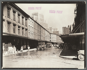
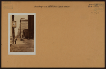
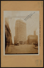
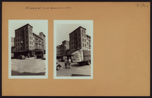
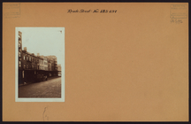
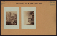
Reade Street, Between West an…
m
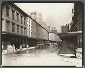
Reade Street, Between West an…
The lower end of Manhattan Is…
m
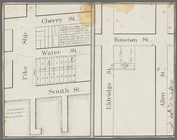
Map of a water grant between …
m
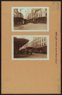
Manhattan: Broadway - Reade S…
m
Manhattan: Broadway - Reade S…
m
Manhattan: Centre Street - Re…
m
Manhattan: Hudson Street - Re…
m
Manhattan: Hudson Street - Re…
m
Manhattan: Lafayette Street -…
m
Manhattan: Lafayette Street -…
m
Manhattan: Park Row - Reade S…
m
Manhattan: Reade Street - Bro…
m
Manhattan: Reade Street - Gre…
m
Manhattan: Reade Street - Wes…
m
Manhattan: Reade Street - Was…
m
Manhattan: Washington Street …
m
Manhattan: West Broadway - Re…
m
Manhattan: West Street - Read…
m
Manhattan: West Street - Read…
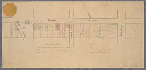
Paving map [Reade Street from…
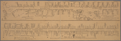
Pocket map of Broadway, New Y…
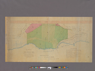
Plan of High Bridge Park : pr…
A plan of the city and enviro…
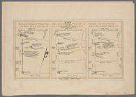
Pierhead and bulkhead lines f…
Maps shewing the residence of…
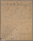
Map bounded by West Street, R…
Map bounded by Greenwich Stre…
Map bounded by Leonard Street…
Map bounded by Franklin Stree…
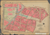
Bounded by Reade Street, Broa…
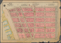
Bounded by Reade Street, Duan…
Bounded by Franklin Street, B…
Bounded by N. Moore Street, W…
Bounded by Reade Street, Broa…
Bounded by Reade Street, Duan…
Bounded by Franklin Street, B…
Bounded by N. Moore Street, W…
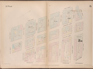
3rd Ward. [Map bounded by Col…
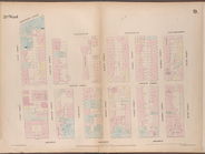
3rd Ward. [Map bounded by Rob…
m
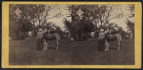
The camel and his rider.
m
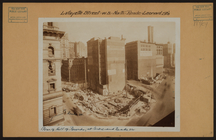
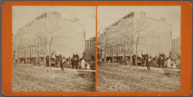
These 4 houses were moved 175…
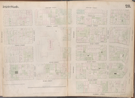
Bounded by N. Moore Street, W…
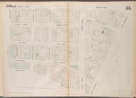
Bounded by Franklin Street, B…
Bounded by Reade Street, Duan…
Bounded by Reade Street, Broa…
1
2
Previous
Next
1
2
Previous
Next