Click to visit the main New York Public Library Homepage
The New York Public Library
Digital Collections
About Digital Collections
Browse
Search only public domain materials
Items
Collections
Divisions
Home
Search
Browse
About
Search only public domain materials
Items
Collections
Divisions
Digital Collections
Using Images
Using Data
Search
Filtered search
Show filters
Hide filters
Show Only Public Domain
topic
Real property
576
Fire insurance
399
Cities & towns
387
Maps
44
Landowners
13
More
Less
name
Sanborn Map Company
389
G.W. Bromley & Co
103
Ullitz, Hugo
57
E. Belcher Hyde Map Company
53
E.B. Hyde & Co
51
More
Less
collection
Atlases of New York City
629
Atlases of the United States
57
Maps of New York City and State
14
Collection of broadside real estate maps announcing auctions of lots in early 19th century New York City
12
Maps of North America
9
More
Less
place
New York (State)
592
New York
153
Bronx (New York, N.Y.)
77
Brooklyn (New York, N.Y.)
73
New York (N.Y.)
70
More
Less
genre
Maps
733
Atlases
55
Cadastral maps
15
Index maps
4
Nautical charts
2
More
Less
publisher
Sanborn Map Company
390
G.W. Bromley & Co
99
E. Belcher Hyde
65
E. Belcher Hyde
12
E. Robinson Co
8
More
Less
division
Map Division
720
General Research Division
7
George Arents Collection
1
Milstein Division
1
type
x
cartographic
text
3
still image
1
Date Range
to
733 results found
Filtering on:
x
Note
: Also includes printed numeral "9" on verso.
x
Type
: cartographic
Sort by:
Title
Date created
Date digitized
Sequence
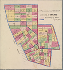
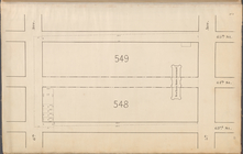
Map of the comprehensive plan…
Map and profile showing sourc…
m
Map 9 - Manhattan, Brooklyn, …
m
A map shewing the extent of t…
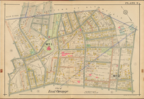
City of East Orange, Double P…
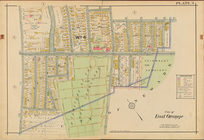
City of East Orange, Double P…
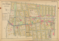
City of East Orange, Double P…
Plan of burnt district (by fi…
Bounded by Ocean Parkway, Ave…
Bounded by 86th Street, W. 9t…
Bounded by (Greenwood Cemeter…
Bounded by 9th Avenue, Twenty…
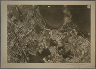
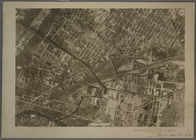
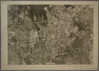
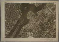
9B - N.Y. City (Aerial Set).
9C - N.Y. City (Aerial Set).
9D - N.Y. City (Aerial Set).
9A - N.Y. City (Aerial Set).
Sketch I, showing the progres…
Gansevoort Street, 9th Avenue…
m
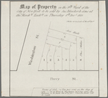
Map of property in the 9th wa…
Map of 14 lots in the 9th war…
m
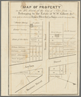
Map of part of the real estat…
m
Map of property in the 9th wa…
Map of property in the 9th wa…
Map of property in the 9th wa…
13 lots of ground to be sold …
m
Map of property in the 9th wa…
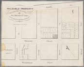
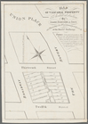
Valuable property for sale on…
m
Map of valuable property to b…
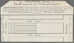
Chancery sale, valuable prope…
Map shewing the position of t…
Sketch of the battle ground a…
Map of the "Hunter Fly Farm" …
Map showing condition and pro…
m
An accurate chart of the coas…
Plan of burnt district (by fi…
Coast Chart no. 9, Boston Bay…
Insurance maps of Tarrytown, …
Plate 9
5th Senatorial District 8, 9,…
m
Weather map, January 9, 1886:…
m
9th cent. crosses.
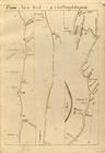
From New York (9) to Poughkee…
Road from Philadelphia to New…
m
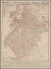
Transportation map of Brookly…
Central Park Planning Map No.…
m
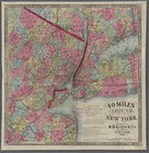
40 miles around New York. H. …
m
Street guide of Manhattan and…
m
Hammond's new Guide map of th…
Plan showing course of stream…
[Map of "Broadway-Flushing" d…
1
2
3
Previous
Next
1
2
3
Previous
Next