Click to visit the main New York Public Library Homepage
The New York Public Library
Digital Collections
About Digital Collections
Browse
Search only public domain materials
Items
Collections
Divisions
Home
Search
Browse
About
Search only public domain materials
Items
Collections
Divisions
Digital Collections
Using Images
Using Data
Search
Filtered search
Show filters
Hide filters
Show Only Public Domain
topic
Real property
830
Maps
85
name
G.W. Bromley & Co
1071
Bromley, George Washington
519
Bromley, Walter Scott
519
collection
Atlases of New York City
1038
Atlases of the United States
34
place
New York (State)
874
New York
794
Manhattan (New York, N.Y.)
702
New York (N.Y.)
269
Bronx (New York, N.Y.)
231
More
Less
genre
Maps
1061
Atlases
34
Index maps
27
Indexes
9
Outline maps
8
More
Less
publisher
x
G.W. Bromley & Co
division
Map Division
1072
type
cartographic
1062
text
15
Date Range
to
1,072 results found
Filtering on:
x
Note
: NYPL Map Div. copy stamped in 2 places over publisher's name with "John P. Hunt, 29 So. 9th St., Phila."
x
Publisher
: G.W. Bromley & Co.
Sort by:
Title
Date created
Date digitized
Sequence
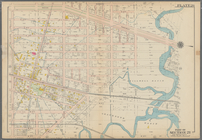
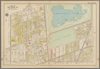
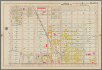
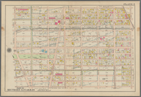
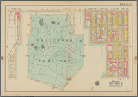
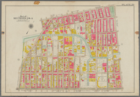
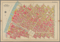
Bounded by Avenue K., Ralph A…
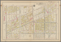
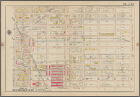
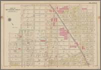
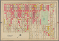
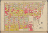
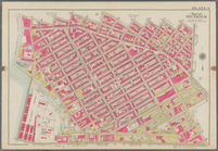
Bounded by E. 103rd Street, A…
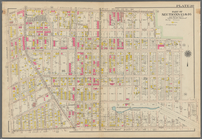
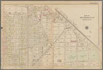
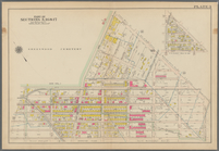
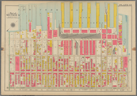
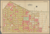
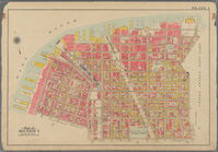
Bounded by Avenue D., Ralph A…
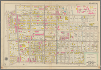
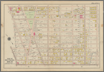
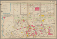
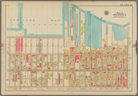
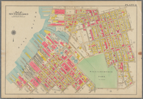
Bounded by Rockaway Avenue, R…
Bounded by Ralph Avenue, E. 9…
Bounded by Avenue J., E. 56th…
Bounded by Avenue P., E. 31st…
Bounded by Avenue V., Knapp S…
Coney Island. Bounded by Cana…
Bounded by Bay View Avenue, W…
Bounded by Ocean Parkway, Ave…
Bounded by Ditmas Avenue, Con…
Bounded by Regent Place, Tild…
Bounded by Winthrop Street, (…
Bounded by Terrace Place, 11t…
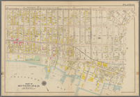
Bounded by 86th Street, W. 9t…
Bounded by 86th Street, W. 11…
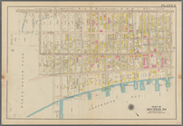
Bounded by 72nd Street, 22nd …
Bounded by 58th Street, West …
Bounded by 86th Street, 20th …
Bounded by 85th Street, 1st A…
Bounded by 72nd Street, 21st …
Bounded by 58th Street, 21st …
Bounded by 43rd Street, West …
Bounded by 72nd Street, Fourt…
Bounded by 58th Street, Fourt…
Bounded by 43rd Street, 14th …
Bounded by (Greenwood Cemeter…
Bounded by Mackay Pl., 1st Av…
Bounded by 60th St., Seventh …
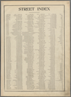
Street Index. [Albany Avenue …
Bounded by Stanley Ave., Mill…
Bounded by Linwood St., Cozin…
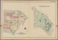
Prospect Park Bounded by (Ins…
Bounded by 9th Avenue, Twenty…
Bounded by Fourth Avenue, 38t…
Bounded by First Avenue (New …
Bounded by (New York Bay) Sec…
Plate 29: Bounded by Court St…
Bounded by Harman Street, St.…
Bounded by Flushing Avenue, P…
Bounded by Noble St., Manhatt…
Bounded by Metropolitan Ave.,…
Bounded by S. 11th Street, Be…
Bounded by Plymouth Street, W…
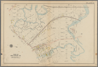
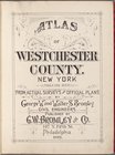
Atlas of Westchester County. …
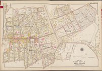
Westchester, V. 1, Double Pag…
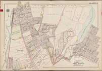
Westchester, V. 1, Double Pag…
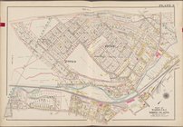
Westchester, V. 1, Double Pag…
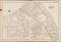
Westchester, V. 1, Double Pag…
1
2
3
4
5
Previous
Next
1
2
3
4
5
Previous
Next