Click to visit the main New York Public Library Homepage
The New York Public Library
Digital Collections
About Digital Collections
Browse
Search only public domain materials
Items
Collections
Divisions
Home
Search
Browse
About
Search only public domain materials
Items
Collections
Divisions
Digital Collections
Using Images
Using Data
Search
Filtered search
Show filters
Hide filters
Show Only Public Domain
topic
Real property
5400
Fire insurance
3732
Cities & towns
3647
Maps
93
Docks
32
More
Less
name
Sanborn Map Company
3660
G.W. Bromley & Co
1114
Bromley, George Washington
563
Bromley, Walter Scott
563
Ullitz, Hugo
547
More
Less
collection
x
Atlases of New York City
place
New York (State)
5644
New York
1948
Manhattan (New York, N.Y.)
924
Brooklyn (New York, N.Y.)
651
New York (N.Y.)
599
More
Less
genre
Maps
6319
Index maps
35
Topographic maps
34
Cadastral maps
17
Title pages
17
More
Less
publisher
Sanborn Map Company
3708
G.W. Bromley & Co
1038
E. Belcher Hyde
537
E. Robinson Co
246
G.M. Hopkins & Co
95
More
Less
division
Map Division
6255
type
cartographic
6300
text
35
still image
21
Date Range
to
6,343 results found
Filtering on:
x
Note
: NYPL Map Div. copy stamped in 2 places over publisher's name with "John P. Hunt, 29 So. 9th St., Phila."
x
Collection
: Atlases of New York City
For more collection details, visit the
Atlases of New York City collection page
.
Sort by:
Title
Date created
Date digitized
Sequence
m
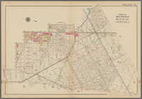
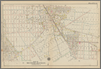
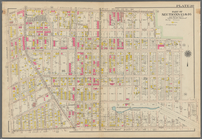
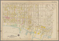
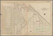
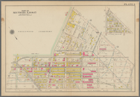
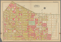
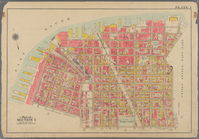
Map 29 - Brooklyn and Queens
m
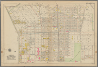
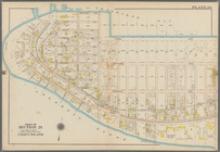
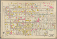
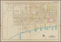
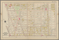
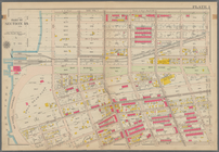
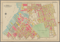
Map 9 - Manhattan, Brooklyn, …
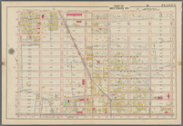
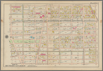
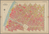
Bounded by Avenue K., Ralph A…
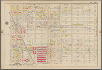
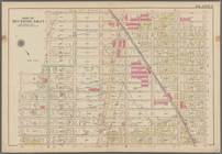
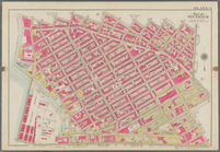
Bounded by E. 103rd Street, A…
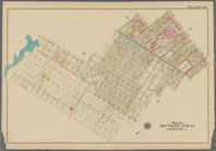
Bounded by Avenue D., Ralph A…
Bounded by Rockaway Avenue, R…
Bounded by Ralph Avenue, E. 9…
Bounded by Avenue J., E. 56th…
Bounded by Avenue P., E. 31st…
Bounded by Avenue V., Knapp S…
Coney Island. Bounded by Cana…
Bounded by Bay View Avenue, W…
Bounded by Ocean Parkway, Ave…
Bounded by Ditmas Avenue, Con…
Bounded by Regent Place, Tild…
Bounded by Winthrop Street, (…
Bounded by Terrace Place, 11t…
Bounded by 86th Street, W. 9t…
Bounded by 86th Street, W. 11…
Bounded by 72nd Street, 22nd …
Bounded by 58th Street, West …
Bounded by 86th Street, 20th …
Bounded by 85th Street, 1st A…
Bounded by 72nd Street, 21st …
Bounded by 58th Street, 21st …
Bounded by 43rd Street, West …
Bounded by 72nd Street, Fourt…
Bounded by 58th Street, Fourt…
Bounded by 43rd Street, 14th …
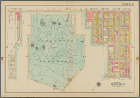
Bounded by (Greenwood Cemeter…
Bounded by Mackay Pl., 1st Av…
Bounded by 60th St., Seventh …
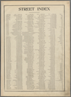
Street Index. [Albany Avenue …
Bounded by Stanley Ave., Mill…
Bounded by Linwood St., Cozin…
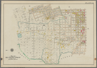
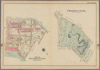
Prospect Park Bounded by (Ins…
Bounded by 9th Avenue, Twenty…
Bounded by Fourth Avenue, 38t…
Bounded by First Avenue (New …
Bounded by (New York Bay) Sec…
Plate 29: Bounded by Court St…
Bounded by Harman Street, St.…
Bounded by Flushing Avenue, P…
Bounded by Noble St., Manhatt…
Bounded by Metropolitan Ave.,…
Bounded by S. 11th Street, Be…
Bounded by Plymouth Street, W…
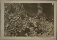
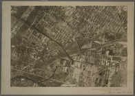
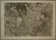
9B - N.Y. City (Aerial Set).
9C - N.Y. City (Aerial Set).
9D - N.Y. City (Aerial Set).
1
2
3
4
5
6
7
8
9
10
…
25
26
Previous
Next
1
2
3
4
5
6
7
8
9
10
…
25
26
Previous
Next