Click to visit the main New York Public Library Homepage
The New York Public Library
Digital Collections
About Digital Collections
Browse
Search only public domain materials
Items
Collections
Divisions
Home
Search
Browse
About
Search only public domain materials
Items
Collections
Divisions
Digital Collections
Using Images
Using Data
Search
Filtered search
Show filters
Hide filters
Show Only Public Domain
topic
Administrative and political divisions
11
History
9
Railroads
9
Landowners
7
Real property
7
More
Less
name
Abert, John James, 1788-1863
2
Fish, W. R
2
Friend & Aub
2
Harris, Isaac K
2
Heliotype Printing Co
2
More
Less
collection
Maps of North America
50
Maps of New York City and State
14
place
New York (State)
16
Massachusetts
13
New England
8
United States
7
Connecticut
6
More
Less
genre
Maps
64
Cadastral maps
4
Facsimiles
3
Early maps
2
Early works to 1800
2
More
Less
publisher
x
publisher not identified
D. McLellan, lithographer
1
Lith of R.H. Pease
1
Lith. of Endicott
1
division
Map Division
64
type
cartographic
64
Date Range
to
64 results found
Filtering on:
x
Note
: Relief shown by hachures.
x
Publisher
: publisher not identified
Sort by:
Title
Date created
Date digitized
Sequence
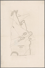
Sketch map of the City of New…
Map of Boston and the country…
A Plan of the Straits of St. …
Map of part of Washington and…
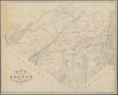
Map of the state of Georgia :…
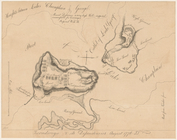
Chart of Narraganset Bay : su…
Map of the city of Newport an…
Geological map of the mining …
Plan of West Point
United States: comparative ti…
City of New Haven
Map of New Haven and its envi…
Map of Jersey City and enviro…
General map accompanying the …
A plan of the Manor of Philip…
Southern New England
Mining district of Rossie
Ticonderoga and its dependenc…
Massachusetts, Connecticut an…
Southern New England and New …
Map of an exploring expeditio…
Map of the city of Concord, N…
Map of the Town of Milford an…
Part of New Jersey : embracin…
Map of the town of Needham, M…
A map of the county of Worces…
Map showing part of Winthrop …
m
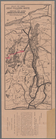
Plan of a survey for a rail-r…
Map of the town of Tiverton, …
Plan of McLean Hospital lands…
Map of Boston 1875: from A. W…
A topographical map of the st…
Mail and passenger route from…
Map of the town of Natick, Mi…
Plan of Lowell Cemetery: as d…
Map of a reconnoissance betwe…
Map of a section of the Andro…
Sketch map of Pascataway, Mai…
Map of a section of the Cobbe…
Map of Orange County: [New Yo…
A map of the country between …
m
Map of Maine, New Hampshire, …
Map of part of Orange County,…
Map of the town of Roxbury
A geological map of a part of…
Map of the city of Lynn, Mass…
Map of Lynn, Mass: (Diphtheri…
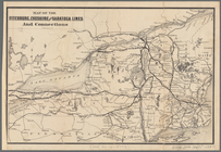
Map of the great pleasure rou…
Map of the Fitchburg, Cheshir…
m
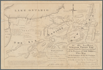
To his excellency William Try…