Click to visit the main New York Public Library Homepage
The New York Public Library
Digital Collections
About Digital Collections
Browse
Search only public domain materials
Items
Collections
Divisions
Home
Search
Browse
About
Search only public domain materials
Items
Collections
Divisions
Digital Collections
Using Images
Using Data
Search
Filtered search
Show filters
Hide filters
Show Only Public Domain
topic
Administrative and political divisions
72
Railroads
59
Landowners
43
Real property
37
Canals
23
More
Less
name
Smith, Robert Pearsall, 1827-1898
20
Disturnell, John, 1801-1877
12
Burr, David H., 1803-1875
11
Sherman & Smith
9
Smith, J. Calvin (John Calvin)
9
More
Less
collection
x
Maps of New York City and State
place
New York (State)
193
New York (N.Y.)
57
New York
19
New York Metropolitan Area
19
New Jersey
16
More
Less
genre
Maps
236
Cadastral maps
35
Facsimiles
4
Road maps
4
Manuscript maps
3
More
Less
publisher
publisher not identified
14
J.B. Beers & Co
5
Aqueduct Commission
4
G.W. & C.B. Colton & Co
4
J. Disturnell
4
More
Less
division
Map Division
236
type
cartographic
236
still image
1
Date Range
to
236 results found
Filtering on:
x
Note
: Relief shown by hachures.
x
Collection
: Maps of New York City and State
For more collection details, visit the
Maps of New York City and State collection page
.
Sort by:
Title
Date created
Date digitized
Sequence
m
Rand, McNally & Co.'s complet…
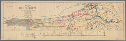
Map showing location of propo…
Sketch map of the City of New…
Sketch map of the city of New…
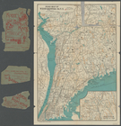
Map of New York, Brooklyn, an…
New-York and vicinity as prop…
m
Authentic street plan of grea…
m
Sanitary & topographical map …
m
Bridgman's map of the suburbs…
Bridgman's new map of the Cit…
m
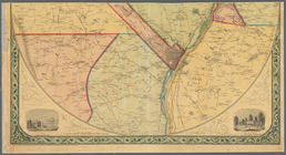
Map of the Passaic and Croton…
m
Map of the City of New York a…
m
Map of Long Island and the so…
m
Map of the southern part of W…
Road map of Erie County and p…
m
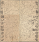
Map of Genesee County, New Yo…
Map of Long Island: showing t…
Plan of West Point
Northern coast of Long Island…
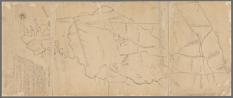
A plan of the Manor of Philip…
The Meadows: to be offered at…
Plan of an extension of the v…
Town of Greenburgh: Westchest…
Portions of 2nd, 3rd, and 4th…
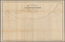
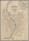
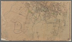
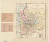
Map of the city of Rochester
Mining district of Rossie
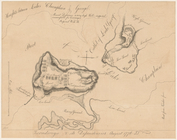
Plan of the position taken by…
Ticonderoga and its dependenc…
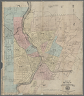
Map of Rochester: from the la…
Portions of 1st, 2nd, and 3rd…
m
Map of the city of Poughkeeps…
m
Map of Suffolk Co., L.I., New…
m
Map of Tioga County, New York…
m
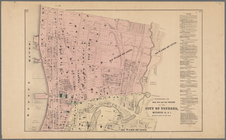
Map of the city of Rochester
Map of the Manor of Scarsdale
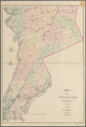
Map of Westchester County, N.…
Map of Steuben County: to acc…
Map of Rockland Co: [New York]
Map of Orleans County, New Yo…
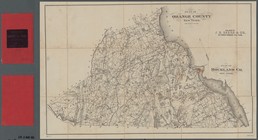
Plan of Orange County, New Yo…
Map of Orange County: [New Yo…
Road map of Westchester Co., …
A map of the country between …
m
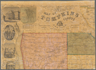
Map of Tompkins County, New Y…
Map of part of Orange County,…
m
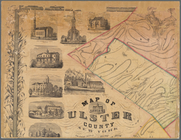
Map of Ulster County, New York
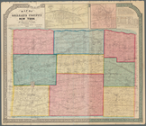
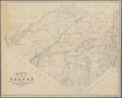
Map of Chenango County, New Y…
Map showing the route of the …
m
Map of the vicinity of Albany…
m
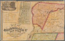
Map of Rensselaer Co., New Yo…