Click to visit the main New York Public Library Homepage
The New York Public Library
Digital Collections
About Digital Collections
Browse
Search only public domain materials
Items
Collections
Divisions
Home
Search
Browse
About
Search only public domain materials
Items
Collections
Divisions
Digital Collections
Using Images
Using Data
Search
Filtered search
Show filters
Hide filters
Show Only Public Domain
topic
Real property
174
Fire insurance
54
Cities & towns
51
History
22
Landowners
14
More
Less
name
Sanborn Map Company
51
Everts, Ensign & Everts
37
Fairchild Aerial Camera Corporation
31
New York (N.Y.). Bureau of Engineering
31
Tuttle, Arthur S. (Arthur Smith), 1865-1949
31
More
Less
collection
Atlases of New York City
135
Atlases of the United States
103
Maps of North America
60
Maps of New York City and State
46
Lawrence H. Slaughter Collection of English maps, charts, globes, books and atlases
31
More
Less
place
New York (State)
202
New York
58
New York (N.Y.)
55
Manhattan (New York, N.Y.)
44
Egypt
27
More
Less
genre
Maps
455
Atlases
103
Prints
39
Illustrations
14
Topographic maps
13
More
Less
publisher
Sanborn Map Company
51
G.W. Bromley & Co
18
F. W. Beers & Co
15
Everts, Ensign & Everts
13
Impr. impériale
13
More
Less
division
Map Division
416
General Research Division
24
Rare Book Division
18
Pforzheimer Collection
8
Manuscripts and Archives Division
6
More
Less
type
x
cartographic
still image
13
text
13
Date Range
to
483 results found
Filtering on:
x
Note
: Watermarks include fleur-de-lis and "H D."
x
Type
: cartographic
Sort by:
Title
Date created
Date digitized
Sequence
m
Report on the work of the com…
Le Ruyavme d Abyssinie ou lem…
Map illustrating the operatio…
m
A chart of the discoveries of…
m
Map of property belonging to …
Plan du port, ville, citadell…
m
Plan of the Land in Haverhill…
Atlas of the Oranges embracin…
Plan d'ensemble de la cité ou…
Plan d'ensemble de la cité ou…
m
N.Y.C. & H.R.R.R. Electric Zo…
m
H.M.S. Aeolus and H.M.S. Norw…
m
Carte d'une partie de l'Etat …
Carte hydrogéologique, Républ…
La herdike enterprinse faict …
H4. Map (Scheme B) illustrati…
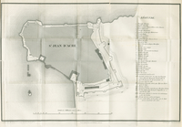
St. Jean D'Acre
Nea-Polynesia, or the islands…
H Diagram of the state of Mis…
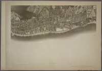
Planta topografica della citt…
Rouine d'un Tempio d'Iside pr…
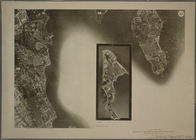
Bounded by Avenue D., Ralph A…
Bounded by 72nd Street, 22nd …
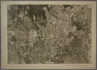
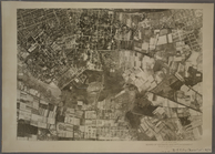
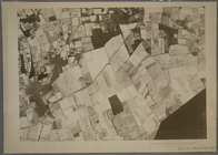
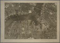
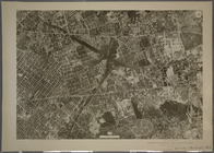
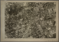
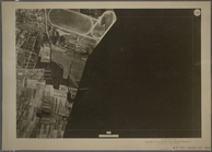
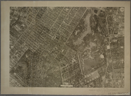
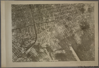
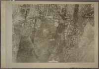
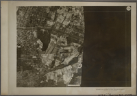
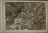
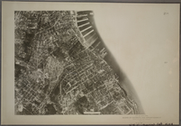
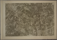
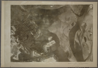
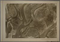
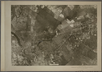
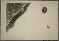
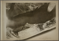
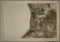
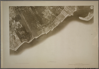
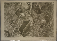
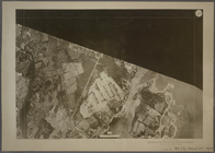
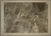
9D - N.Y. City (Aerial Set).
10D - N.Y. City (Aerial Set).
11D - N.Y. City (Aerial Set).
12D - N.Y. City (Aerial Set).
13D - N.Y. City (Aerial Set).
14D - N.Y. City (Aerial Set).
15D - N.Y. City (Aerial Set).
16D - N.Y. City (Aerial Set).
17D - N.Y. City (Aerial Set).
18D - N.Y. City (Aerial Set).
19D - N.Y. City (Aerial Set).
20D - N.Y. City (Aerial Set).
21D - N.Y. City (Aerial Set).
22D - N.Y. City (Aerial Set).
23D - N.Y. City (Aerial Set).
24D - N.Y. City (Aerial Set).
26D - N.Y. City (Aerial Set).
27D - N.Y. City (Aerial Set).
28D - N.Y. City (Aerial Set).
29D - N.Y. City (Aerial Set).
30D - N.Y. City (Aerial Set).
32D - N.Y. City (Aerial Set).
33D - N.Y. City (Aerial Set).
1D - N.Y. City (Aerial Set).
2D - N.Y. City (Aerial Set).
3D - N.Y. City (Aerial Set).
4D - N.Y. City (Aerial Set).
1
2
Previous
Next
1
2
Previous
Next