Click to visit the main New York Public Library Homepage
The New York Public Library
Digital Collections
About Digital Collections
Browse
Search only public domain materials
Items
Collections
Divisions
Home
Search
Browse
About
Search only public domain materials
Items
Collections
Divisions
Digital Collections
Using Images
Using Data
Search
Filtered search
Show filters
Hide filters
Show Only Public Domain
topic
Real property
7
Landowners
6
Fortification
3
Administrative and political divisions
2
Bridges
2
More
Less
name
Rodd, Thomas, 1763-1822
2
A.T. Goodrich & Co
1
Akerly, Samuel
1
Bachman, Chas. (Charles)
1
Beers, D. G. (Daniel G.)
1
More
Less
collection
x
Maps of New York City and State
place
x
New York (State)
New York
6
New York (N.Y.)
6
Bronx (New York, N.Y.)
2
Islip (N.Y. : Town) -- Maps
2
More
Less
genre
Maps
16
Cadastral maps
4
Aerial views
1
Diagrams
1
Pictorial works
1
More
Less
publisher
Thomas Rodd
2
A.R.Z. Dawson
1
A.T. Goodrich & Co., No. 124 Broad Way
1
Charles Wood?,
1
Department of Street Improvements
1
More
Less
division
Map Division
17
type
x
still image
cartographic
10
Date Range
to
17 results found
Filtering on:
x
Location
: Map Division
x
Place
: New York (State)
x
Rights
: Public Domain
x
Collection
: a1a9d830-c5a6-012f-00ec-58d385a7bc34
x
Type
: still image
For more division details, visit the
Lionel Pincus and Princess Firyal Map Division division page
.
Sort by:
Title
Date created
Date digitized
Sequence
The Narrows tunnel : chart of…
m
Map of Clinton Co., New York:…
m
Map of Dutchess Co., New York…
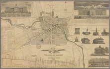
Map of the village of Auburn
m
Stony Point and Verplanck's P…
Town & village of Ovid, Senec…
m
Map of Ontario County, New Yo…
m
Plan and profile showing the …
A geological section of the c…
Map of the village of Hermann…
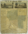
Map of the Lakeland farms, ne…
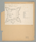
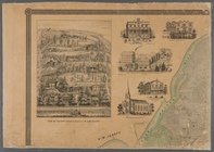
The Fort in New Yorke
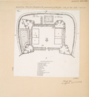
The Fort of Albany
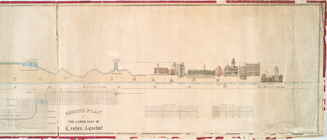
Profile of lower part of Crot…
m
Sketch showing the southern b…
m
Map of Staten Island, or Rich…
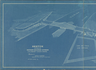
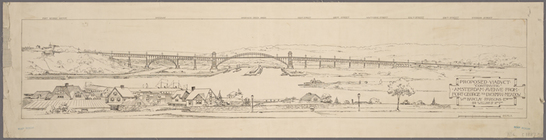
Proposed viaduct "continuing"…
End of results
|
Top