Click to visit the main New York Public Library Homepage
The New York Public Library
Digital Collections
About Digital Collections
Browse
Search only public domain materials
Items
Collections
Divisions
Home
Search
Browse
About
Search only public domain materials
Items
Collections
Divisions
Digital Collections
Using Images
Using Data
Search
Filtered search
Show filters
Hide filters
Show Only Public Domain
topic
x
Administrative and political divisions
Railroads
5
Canals
3
Election districts
3
City planning
2
More
Less
name
Haffen, Louis F., 1854-1935
2
Risse, Louis A
2
Sweet, S. H. (Sylvanus Howe), 1830-1899
2
Welcke, Robert A
2
Brodhead, Charles C
1
More
Less
collection
x
Maps of New York City and State
place
New York (State)
11
Brooklyn (New York, N.Y.)
6
New York
5
Kings County (N.Y.)
4
Bronx (New York, N.Y.)
2
More
Less
genre
Maps
14
Cadastral maps
2
publisher
x
publisher not identified
Robert A. Welcke, Photo-Lith
1
Weed Parsons & Co
1
division
Map Division
14
type
cartographic
14
Date Range
to
14 results found
Filtering on:
x
Location
: Map Division
x
Publisher
: publisher not identified
x
Rights
: Public Domain
x
Collection
: Maps of New York City and State
x
Topic
: Administrative and political divisions
For more division details, visit the
Lionel Pincus and Princess Firyal Map Division division page
.
Sort by:
Title
Date created
Date digitized
Sequence
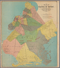
Map of the county of Kings, s…
Map of the 23rd and 24th ward…
Map of the rail roads of the …
A map of a tract of land in t…
m
Village of New-Rochelle, New-…
Map of part of Orange County,…
Map of Chautauqua County, N.Y…
Engineers map of the state of…
Map of the 23rd and 24th ward…
m
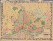
Map of the city of Brooklyn 1…
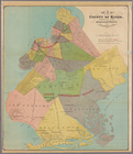
Map of the county of Kings, s…
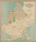
Map of the county of Kings, s…
Map of the county of Kings, s…
Map of the city of Brooklyn, …
End of results
|
Top