Click to visit the main New York Public Library Homepage
The New York Public Library
Digital Collections
About Digital Collections
Browse
Search only public domain materials
Items
Collections
Divisions
Home
Search
Browse
About
Search only public domain materials
Items
Collections
Divisions
Digital Collections
Using Images
Using Data
Search
Filtered search
Show filters
Hide filters
Show Only Public Domain
topic
x
Administrative and political divisions
Railroads
10
Election districts
5
Landowners
5
Real property
5
More
Less
name
Welcke, Robert A
3
Boston (Mass.). Engineering Department
2
Daniels, John H., 1828-1901
2
Geo. H. Walker & Co
2
Green, Orange
2
More
Less
collection
Maps of North America
37
Maps of New York City and State
14
place
New York (State)
11
Massachusetts
9
Brooklyn (New York, N.Y.)
6
Connecticut
6
Boston (Mass.)
5
More
Less
genre
Maps
51
Cadastral maps
3
Aerial views
1
Facsimiles
1
Illustrations
1
publisher
x
publisher not identified
Kellogg & Bulkeley Co
1
Robert A. Welcke, Photo-Lith
1
Weed Parsons & Co
1
division
Map Division
51
type
cartographic
51
still image
2
text
1
Date Range
to
51 results found
Filtering on:
x
Location
: Map Division
x
Publisher
: publisher not identified
x
Rights
: Public Domain
x
Topic
: Administrative and political divisions
For more division details, visit the
Lionel Pincus and Princess Firyal Map Division division page
.
Sort by:
Title
Date created
Date digitized
Sequence
m
A correct map of the state of…
A map of a tract of land in t…
A map of the colonies of Conn…
A map of the county of Worces…
A map of the state of Virgini…
Connecticut
County and railroad map of th…
Engineers map of the state of…
Florida
Florida
Fragment of a map, covering p…
Half of an unidentified map s…
Illinois & Missouri
Indiana, 1820
Labor commissioner's official…
m
Map of a part of northern New…
Map of Boston 1875: from A. W…
Map of Chattanooga, Tenn.
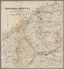
Map of Chautauqua County, N.Y…
Map of Connecticut showing co…
Map of Jersey City and enviro…
Map of Kane County, Illinois,…
Map of Massachusetts
Map of modern Boston: from th…
Map of Nebraska
Map of part of Orange County,…
Map of parts of Escambia and …
Map of Pennsylvania showing p…
Map of the 23rd and 24th ward…
Map of the 23rd and 24th ward…
Map of the city of Boston and…
m
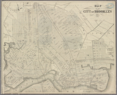
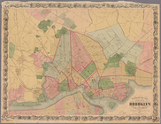
Map of the city of Brooklyn 1…
Map of the city of Brooklyn, …
Map of the city of Concord, N…
Map of the city of Lynn, Mass…
Map of the city of Somerville…
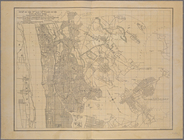
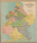
Map of the county of Kings, s…
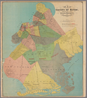
Map of the county of Kings, s…
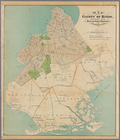
Map of the county of Kings, s…
Map of the county of Kings, s…
Map of the rail roads of the …
Map of the state of Californi…
m
Map of the state of Georgia: …
Map of the state of Georgia :…
Map of the Town of Milford an…
Map of the town of Tiverton, …
Plan of Boston: prepared unde…
Plan of Boston: corrected und…
Plan of Springfield: [Massach…
Southern New England