Click to visit the main New York Public Library Homepage
The New York Public Library
Digital Collections
About Digital Collections
Browse
Search only public domain materials
Items
Collections
Divisions
Home
Search
Browse
About
Search only public domain materials
Items
Collections
Divisions
Digital Collections
Using Images
Using Data
Search
Filtered search
Show filters
Hide filters
Show Only Public Domain
topic
x
Landowners
Real property
59
Administrative and political divisions
5
Streets
4
Eminent domain
3
More
Less
name
Walling, Henry Francis, 1825-1888
4
Davis, Thomas W. (Surveyor)
3
Meisel, A. (Augustus)
3
Bronson, Isaac, 1760-1838
2
Friend & Aub
2
More
Less
collection
Maps of North America
50
Maps of New York City and State
24
place
New York (State)
24
Massachusetts
16
Boston
7
Michigan
5
Boston (Mass.)
3
More
Less
genre
Maps
74
Cadastral maps
51
Illustrations
1
Military maps
1
publisher
x
publisher not identified
Lith of R.H. Pease
1
Lith. by Berggoetz & Co
1
Lith. of Jones & Newman
1
division
Map Division
74
type
cartographic
74
still image
2
text
1
Date Range
to
74 results found
Filtering on:
x
Location
: Map Division
x
Publisher
: publisher not identified
x
Rights
: Public Domain
x
Topic
: Landowners
For more division details, visit the
Lionel Pincus and Princess Firyal Map Division division page
.
Sort by:
Title
Date created
Date digitized
Sequence
Map of Bar Harbor, Maine, 1895
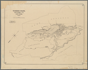
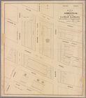
Tuxedo Park, Orange Co., New …
m
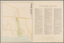
Upper Nyack
Nyack
South Nyack
Map of Winter Park, Orange Co…
m
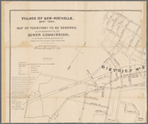
Village of New-Rochelle, New-…
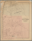
Historical sketch map of King…
Plan of cottage sites at Magn…
Map of Clay County, Florida
Albany Rural Cemetery, 1884: …
Map of St. Francois County, M…
Plan of the town Ebenezer and…
m
Map of the highlands of the H…
Map of a portion of Point Ke…
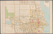
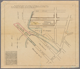
Part of the 5th Ward of the C…
Plan of real estate at Harris…
Map of the homestead of the l…
Plan of burnt district (by fi…
A plan of the town of Pittsfo…
Hartford in 1640
Parts of 1st ward of the city…
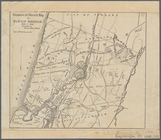
County and railroad map of th…
Map of the city of Newport an…
Map of Dobbs Ferry and Hastin…
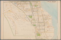
Hyde Park : [Chicago, Illinoi…
m
Map showing the injury to the…
Plan of Suffolk Street Distri…
Plan of Church St. district: …
Map of the oil region, Venang…
Map of Castle Hill & Price's …
Map of part of Fauquier Count…
Plat of the town of Elmhurst,…
A map of part of the land in …
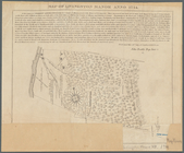
Map of Livingston Manor anno …
Atherton, St. Lawrence County…
Map of part of Orange County,…
Map of Venango County, Pennsy…
Map of the city of Davenport …
Plan of extension of Devonshi…
Plan of extension of Devonshi…
Map of the town of Raynham, B…
Map of the head waters of the…
Map of the town of Fairhaven,…
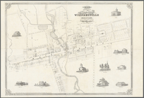
Map of the village of William…
Map of the town of Tiverton, …
m
Map of Albany County, New Yor…
Map of the town of Natick, Mi…
A plan of the salt marsh and …
m
Lands in the State of North C…