Click to visit the main New York Public Library Homepage
The New York Public Library
Digital Collections
About Digital Collections
Browse
Search only public domain materials
Items
Collections
Divisions
Home
Search
Browse
About
Search only public domain materials
Items
Collections
Divisions
Digital Collections
Using Images
Using Data
Search
Filtered search
Show filters
Hide filters
Show Only Public Domain
topic
Real property
10651
Fire insurance
5289
Cities & towns
4996
Administrative and political divisions
904
Railroads
771
More
Less
name
Sanborn Map Company
5093
G.W. Bromley & Co
2471
Bromley, George Washington
797
Bromley, Walter Scott
797
Austro-Hungarian Monarchy. Militärgeographisches Institut
773
More
Less
collection
Atlases of New York City
10447
Atlases of the United States
3720
Maps of North America
3345
Maps of New York City and State
2044
Lawrence H. Slaughter Collection of English maps, charts, globes, books and atlases
1101
More
Less
place
New York (State)
11963
New York
3799
New York (N.Y.)
2358
Manhattan (New York, N.Y.)
2225
Brooklyn (New York, N.Y.)
1164
More
Less
genre
Maps
22130
Atlases
3650
Topographic maps
1050
Cadastral maps
589
Nautical charts
394
More
Less
publisher
Sanborn Map Company
5129
G.W. Bromley & Co
2294
E. Belcher Hyde
780
K.u.K. Militargeographisches Institut
773
publisher not identified
452
More
Less
division
Map Division
22270
type
x
cartographic
text
310
still image
123
Date Range
to
22,270 results found
Filtering on:
x
Location
: Map Division
x
Type
: cartographic
For more division details, visit the
Lionel Pincus and Princess Firyal Map Division division page
.
Sort by:
Title
Date created
Date digitized
Sequence
Results 751 - 800
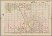
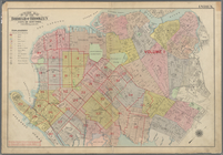
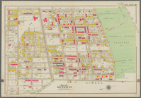
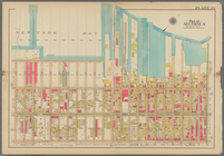
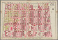
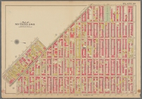
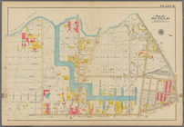
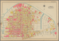
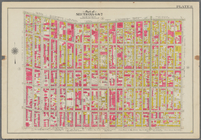
Bounded by 72nd Street, 21st …
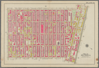
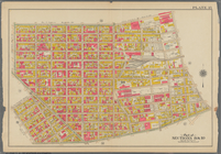
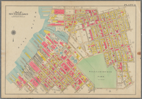
Bounded by 58th Street, 21st …
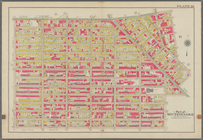
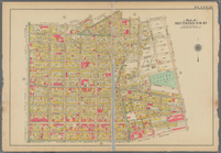
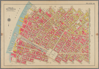
Bounded by 43rd Street, West …
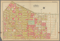
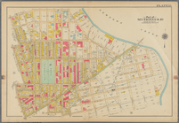
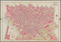
Bounded by 72nd Street, Fourt…
Bounded by 58th Street, Fourt…
Bounded by 43rd Street, 14th …
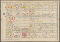
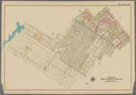
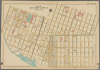
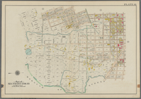
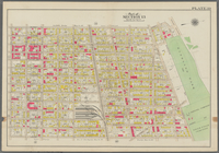
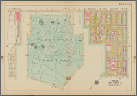
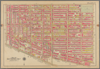
Bounded by (Greenwood Cemeter…
Bounded by Mackay Pl., 1st Av…
Bounded by 60th St., Seventh …
Outline Map of the Borough of…
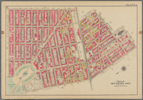
Bounded by Stanley Ave., Mill…
Bounded by Riverdale Avenue, …
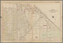
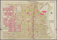
Bounded by Linwood St., Cozin…
Bounded by Logan Street, Jama…
Bounded by Barbey Street, (Hi…
Bounded by Snediker Avenue, L…
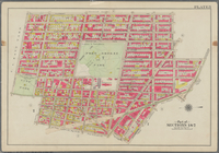
Bounded by Park Place, East N…
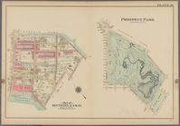
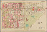
Prospect Park Bounded by (Ins…
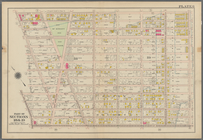
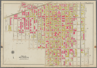
Bounded by 9th Avenue, Twenty…
Bounded by Fourth Avenue, 38t…
Bounded by First Avenue (New …
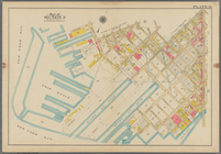
Bounded by (New York Bay) Sec…
Bounded by Richards Street, (…
Bounded by (New York Bay Pier…
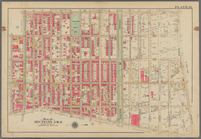
Plate 29: Bounded by Court St…
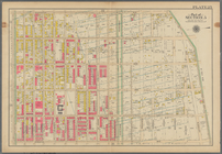
Bounded by Fourth Avenue, Pre…
Bounded by Bedford Avenue, Ma…
Bounded by Kingston Avenue, M…
Bounded by Rochester Avenue, …
Bounded by Saratoga Avenue, E…
Bounded by Conway Street, Nor…
Bounded by Halsey Street, Irv…
Bounded by Harman Street, St.…
Bounded by Saratoga Avenue, C…
Bounded by Stuyvesant Avenue,…
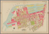
Bounded by Flushing Avenue, B…
Bounded by Flushing Avenue, P…
Bounded by Newton Creek (Sene…
Bounded by Teneyck Street, Mo…
Bounded by Bayard Street, Gra…
Bounded by Calyer Street, Fro…
Bounded by Commercial Street,…
Bounded by Noble St., Manhatt…
Bounded by Metropolitan Ave.,…
Bounded by S. 11th Street, Be…
Bounded by Flushing Avenue, N…
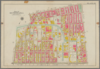
Bounded by Lafayette Avenue, …
Bounded by Fifth Avenue, Atla…
Bounded by Clermont Avenue, G…
Bounded by Atlantic Avenue, B…
1
2
3
4
5
6
7
8
9
10
…
89
90
Previous
Next
1
2
3
4
5
6
7
8
9
10
…
89
90
Previous
Next