Click to visit the main New York Public Library Homepage
The New York Public Library
Digital Collections
About Digital Collections
Browse
Search only public domain materials
Items
Collections
Divisions
Home
Search
Browse
About
Search only public domain materials
Items
Collections
Divisions
Digital Collections
Using Images
Using Data
Search
Filtered keyword search
Show filters
Hide filters
Show Only Public Domain
topic
Atlases
166
Geography
157
Historical geography
55
Maps in education
55
Colonies
24
More
Less
name
Society for the Diffusion of Useful Knowledge (Great Britain)
109
J. & C. Walker (Firm)
105
Faden, William, 1749-1836
57
Cary, John, approximately 1754-1835
43
Palmer, W. (William), 1739-1812
27
More
Less
collection
Lawrence H. Slaughter Collection of English maps, charts, globes, books and atlases
221
Maps of North America
27
Maps of Europe
6
Atlases, gazetteers, guidebooks and other books
3
John H. Levine Collection
2
More
Less
place
x
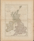
Great Britain
England
57
America
39
North America
38
Colonies
15
More
Less
genre
Maps
263
Illustrations
2
Prints
2
Frontispieces
1
Geological maps
1
More
Less
publisher
Chapman and Hall
109
Published by Wm. Faden, geographer to His Majesty, and His R.H. the Prince of Wales
53
Printed for John Cary
43
s.n
4
Printed for Robert Sayer, No. 53, Fleet-Street
2
More
Less
division
Map Division
259
General Research Division
3
Wallach Division: Print Collection
1
type
x
cartographic
text
43
still image
1
Date Range
to
263 results found for:
x
London
Filtering on:
x
Place
: Great Britain
x
Type
: cartographic
Sort by:
Relevance
Title
Date created
Date digitized
Sequence
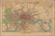
An exact survey of the street…
London
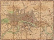
Laurie and Whittle's New map of
London
m
Reynolds' map of modern
London
divided
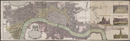
Vrbium Londini et West-Monast…
note:
… Staedte
London
und
m
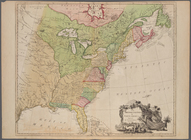
The British colonies in North…
note:
Prime meridian:
London
.
A new map of the English plan…
note:
Print also published in
London
The British Isles, comprehend…
note:
London
: Printed for Rob[er]t Sayer, No. 53
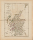
Scotland, and its islands ; o…
note:
London
: Printed for Rob[er]t Sayer, No. 53
An Accurate map of the presen…
note:
Prime meridian:
London
.
An accurate map of the Britis…
note:
…"Longitude west from
London
A New and correct map of the …
note:
Prime meridian:
London
.
Ordnance Survey of England an…
A map of the British and Fren…
note:
…"Longitude west from
London
."…
A new and accurate map of the…
note:
… west from
London
."…
Portsmouth
A new map of the most conside…
note:
… and present geography.
London
An accurate map of the Britis…
note:
Prime meridian:
London
.
A Map of the British and Fren…
The English empire in America
A Map of the British and Fren…
abstract:
…:
London
. Relief shown
A general map of the northern…
note:
Prime meridian:
London
.
A map of the British dominion…
note:
Prime meridian:
London
.
A new and correct chart of th…
A Map of the British and Fren…
abstract:
… meridian:
London
. Relief
m
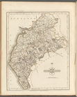
North Wales
South Britain, [Frontispiece]
m
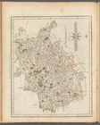
Wiltshire
m
Buckinghamshire
m
Surry
m
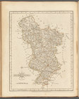
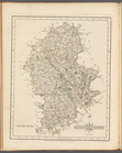
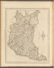
Derbyshire
m
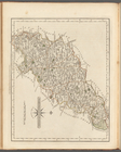
Durham
m
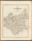
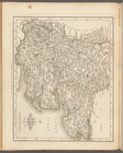
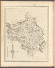
Leicestershire
m
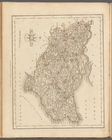
Staffordshire
m
Essex
m
Northamptonshire
m
Kent
m
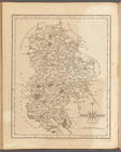
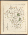
Huntingdonshire
m
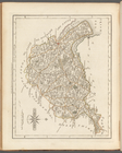
Suffolk
m
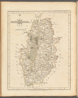
Nottinghamshire
m
Westmoreland
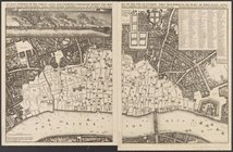
A groundplot of part of the c…
m
Cheshire
m
Hertfordshire
m
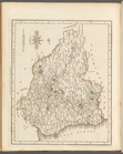
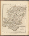
Hampshire
m
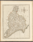
Bedfordshire
m
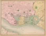
East Riding of Yorkshire
m
Cumberland
m
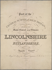
Rutlandshire
m
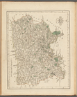
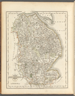
Lincolnshire
1
2
Previous
Next
1
2
Previous
Next