Click to visit the main New York Public Library Homepage
The New York Public Library
Digital Collections
About Digital Collections
Browse
Search only public domain materials
Items
Collections
Divisions
Home
Search
Browse
About
Search only public domain materials
Items
Collections
Divisions
Digital Collections
Using Images
Using Data
Search
Filtered keyword search
Show filters
Hide filters
Show Only Public Domain
topic
x
Real property
Canals
1
Hospitals, Naval and marine
1
Landowners
1
New England
1
More
Less
name
G.W. Bromley & Co
8
Burr, David H., 1803-1875
1
Ewen, Daniel
1
Ewen, John
1
Gutierrez, F. C
1
More
Less
collection
Atlases of New York City
8
Maps of New York City and State
4
Atlases of the United States
1
place
x
New York (N.Y.)
Queens (New York, N.Y.)
8
New York (State)
5
Islip (N.Y. : Town) -- Maps
2
Islip (Town)
2
More
Less
genre
Maps
13
Cadastral maps
8
Atlases
1
publisher
G. W. Bromley & Co
8
s.n
2
Charles Wood?,
1
Stone and Clark,
1
Sun Lithographic Estab[l]t., 128 Fulton St.,
1
division
Map Division
13
type
cartographic
11
still image
2
Date Range
to
13 results found for:
x
Islands of the Atlantic
Filtering on:
x
Place
: New York (N.Y.)
x
Topic
: Real property
Sort by:
Relevance
Title
Date created
Date digitized
Sequence
…
Island
.
note:
…
Atlantic
Seaboard.
… by
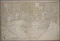
Atlantic
Avenue, Cummings
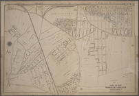
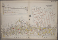
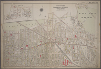
Plate 33: Bounded by
Atlantic
Avenue, Vanwyck
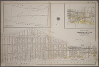
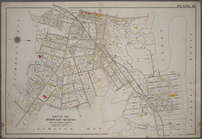
… Avenue, (
Atlantic
Ocean
…, and (
Atlantic
Ocean) Boulevard, …
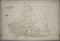
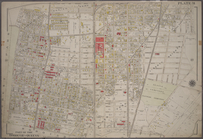
…, Eastern Avenue, (
Atlantic
…,
Atlantic
Avenue, Drew
…
Island
note:
…
Atlantic
Seaboard.
… Wyck Avenue,
Atlantic
…, (Inlet,
Atlantic
Ocean
…
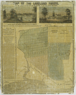
Island
: 50 miles from
note:
Inset: Map of Long
Island
, 1850.
…, on the Long
Island
Rail Road.
note:
Inset: Map of Long
Island
.
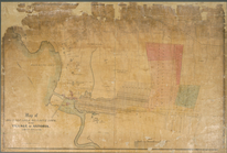
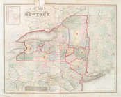
Map of the state of New-York …
note:
…
Atlantic
Seaboard.
End of results
|
Top