Click to visit the main New York Public Library Homepage
The New York Public Library
Digital Collections
About Digital Collections
Browse
Search only public domain materials
Items
Collections
Divisions
Home
Search
Browse
About
Search only public domain materials
Items
Collections
Divisions
Digital Collections
Using Images
Using Data
Search
Filtered search
Show filters
Hide filters
Show Only Public Domain
topic
x
Railroads, Elevated
Railroads
14
Local transit
10
Subways
9
Ferries
6
More
Less
name
C.S. Hammond & Company
4
Rand McNally and Company
3
A.G. Hagstrom Co
1
American Museum of Natural History
1
American Museum of Natural History. Department of Education
1
More
Less
collection
Maps of New York City and State
20
place
x
New York (N.Y.)
New York (State)
20
New York
18
Manhattan (New York, N.Y.)
8
Bronx (New York, N.Y.)
4
More
Less
genre
Maps
20
Mass transit
2
Aerial views
1
Road maps
1
Wall maps
1
publisher
C.S. Hammond & Co
2
A. Humitsch
1
American Museum of Natural History
1
C.S. Hammond and Co
1
Clendening Apartment Hotel
1
More
Less
division
Map Division
20
type
x
cartographic
Date Range
to
20 results found
Filtering on:
x
Place
: New York (N.Y.)
x
Topic
: Railroads, Elevated
x
Type
: cartographic
Sort by:
Title
Date created
Date digitized
Sequence
Hammond's complete map of New…
m
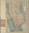
Map of Brooklyn
Educational extension work of…
m
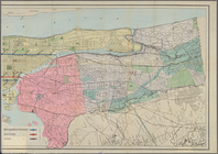
The five boroughs of the city…
Map of Brooklyn
m
The Wanamaker diary map of Ne…
Sketch map of the City of New…
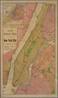
Map showing the present dista…
m
Hagstrom's map of upper New Y…
m
Authentic street plan of grea…
Mapa de la ciudad de Nueva Yo…
m
Street guide of Manhattan and…
m
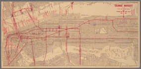
Columbia University in the Ci…
m
Rand McNally commercial map o…
Hagstrom's map of ... New Yor…
m
Citizens & traverlers guide m…
Rand, McNally & Co.'s new han…
Map of the southern part of t…
m
Map of the City & County of N…
m
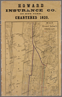
Map showing the lines of the …
End of results
|
Top