Click to visit the main New York Public Library Homepage
The New York Public Library
Digital Collections
About Digital Collections
Browse
Search only public domain materials
Items
Collections
Divisions
Home
Search
Browse
About
Search only public domain materials
Items
Collections
Divisions
Digital Collections
Using Images
Using Data
Search
Filtered search
Show filters
Hide filters
Show Only Public Domain
name
Thornton, Samuel
14
Goos, Pieter, approximately 1616-1675
8
collection
x
Atlases, gazetteers, guidebooks and other books
place
x
Atlantic Ocean
New England
4
Ireland
3
Canada
2
Canary Islands
2
More
Less
genre
Maps
22
Nautical charts
14
publisher
P. Goos
8
division
Map Division
22
type
cartographic
22
Date Range
to
22 results found
Filtering on:
x
Place
: Atlantic Ocean
x
Collection
: b28be120-c602-012f-769c-58d385a7bc34
Sort by:
Title
Date created
Date digitized
Sequence
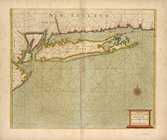
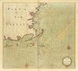
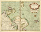
Part of New England, New York…
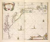
A large draught of New Englan…
A new and correct chart from …
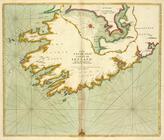
Paskaarte om achter Yrlandt o…
Pas-caart van Hispangien, ver…
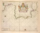
De cust van Barbaria, Gualata…
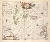
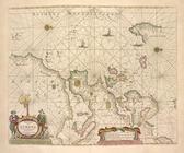
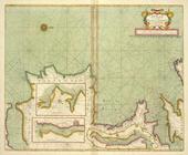
Pascaerte van Groen-landt,Ysl…
Pascaerte van Vlaemsche, Sout…
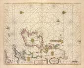
Pas caerte van Nieu Nederland…
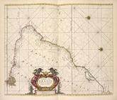
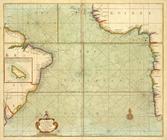
Paskaart van Brazil van Rio d…
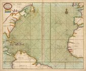
Pascaart van Europa.
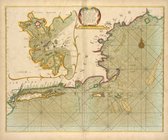
Part of NEW ENGLAND
A new chart of the trading pa…
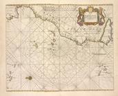
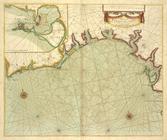
A draught of the coast of Afr…
A generall chart from ENGLAND…
A chart of the coast of BARBA…
A Generall chart of the NORTH…
A chart of the NORTH-WEST coa…
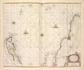
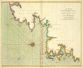
The SOUTH-WEST coast of IRELA…
A chart of the sea coast from…
A chart of the sea coasts of …
A new draught of the coast of…
End of results
|
Top