Click to visit the main New York Public Library Homepage
The New York Public Library
Digital Collections
About Digital Collections
Browse
Search only public domain materials
Items
Collections
Divisions
Home
Search
Browse
About
Search only public domain materials
Items
Collections
Divisions
Digital Collections
Using Images
Using Data
Search
Filtered keyword search
Show filters
Hide filters
Show Only Public Domain
topic
Real property
1838
Fire insurance
106
Local transit
94
Landowners
90
Administrative and political divisions
86
More
Less
name
G.W. Bromley & Co
1672
Bromley, George Washington
405
Bromley, Walter Scott
404
Perris, William
128
James Bleecker & Sons
34
More
Less
collection
Atlases of New York City
1824
Maps of New York City and State
340
Collection of broadside real estate maps announcing auctions of lots in early 19th century New York City
67
Lawrence H. Slaughter Collection of English maps, charts, globes, books and atlases
6
Atlases, gazetteers, guidebooks and other books
1
More
Less
place
x
Manhattan (New York, N.Y.)
New York (State)
2150
New York
1816
New York (N.Y.)
689
United States
69
More
Less
genre
Maps
2182
Cadastral maps
83
Index maps
43
Indexes
35
Manuscript maps
31
More
Less
publisher
G.W. Bromley & Co
1624
William Perris
105
G.W. Bromley
49
E. Robinson Co
24
Lith. by Korff Brothers
23
More
Less
division
Map Division
2239
type
cartographic
2225
text
71
still image
5
Date Range
to
2,239 results found for:
x
Princesses
Filtering on:
x
Place
: Manhattan (New York, N.Y.)
Sort by:
Relevance
Title
Date created
Date digitized
Sequence
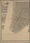
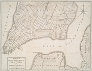
A Plan of the city and enviro…
m
Bird's eye view of New York C…
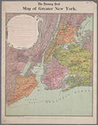
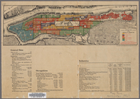
Map of greater New York
m
Map of Manhattan and part of …
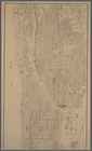
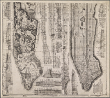
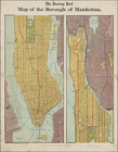
Map of the Borough of Manhatt…
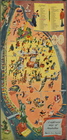
A sight-seers map of Manhatta…
Map No. II New York
m
Map of Manhattan, City of New…
Carl Schurz Park
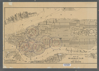
Map of the borough of Manhatt…
m
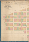
Lands of the Harlaem Canal Co…
Map of Morningside Park
City Hall Park
Colonial Park
Map of New York City between …
m
Liquordom in New York City
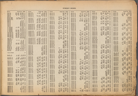
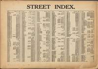
STREET INDEX. Arlington Squar…
Street Index. High Bridge Ter…
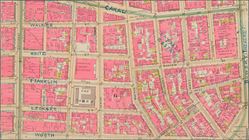
Mulberry Bend District. Map b…
m
Map of part of New York City …
Map of Manhattan and part of …
m
Property identification map o…
m
Riverside Park
m
King's bird's eye view of Gre…
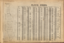
Block Index
m
Tentative height districts, M…
Atlas of the city of New York…
m
Map of the borough of Manhatt…
Plan of the tracks under Unio…
The largest and grandest comm…
Proposed Harlem River Drive f…
Ville de New-York
Borough of Manhattan: 23rd As…
m
Map of New York City from Bat…
Freight terminal map of New Y…
m
1905 Library map of Manhattan…
m
1907 Library map of Manhattan…
m
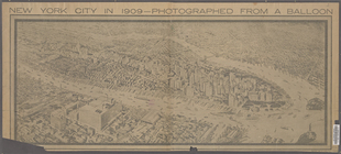
New York City in 1909: photog…
m
Tentative use districts, Manh…
Sketch showing the ground und…
m
Geologic map and sections of …
Park between 35th and 36th St…
m
Borough of Manhattan, 300 foo…
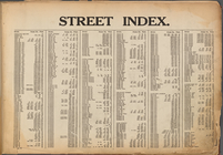
Street Index: [Water Street -…
Block Index
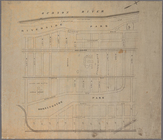
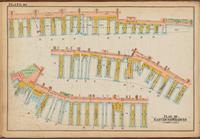
Plate 40: Plan of East River …
Street Index: [Abington Squar…
Street Index: [Abington Squar…
Street Index: [80th Street E.…
Street Index: [Haven Avenue -…
1
2
3
4
5
6
7
8
9
Previous
Next
1
2
3
4
5
6
7
8
9
Previous
Next