Click to visit the main New York Public Library Homepage
The New York Public Library
Digital Collections
About Digital Collections
Browse
Search only public domain materials
Items
Collections
Divisions
Home
Search
Browse
About
Search only public domain materials
Items
Collections
Divisions
Digital Collections
Using Images
Using Data
Search
Filtered keyword search
Show filters
Hide filters
Show Only Public Domain
topic
Real property
236
Landowners
40
Nautical charts
17
Administrative and political divisions
16
Railroads
14
More
Less
name
Pidgeon, R. H. (Roger H.)
219
Robinson, E. (Elisha)
219
E. Robinson Co
218
Burr, David H., 1803-1875
100
Rawdon, Clark & Co
79
More
Less
collection
Atlases of New York City
220
Atlases of the United States
78
Maps of New York City and State
70
Lawrence H. Slaughter Collection of English maps, charts, globes, books and atlases
35
John H. Levine Collection
4
More
Less
place
x
New York (N.Y.)
New York (State)
274
New York
148
Manhattan (New York, N.Y.)
46
New York Metropolitan Area
42
More
Less
genre
Maps
414
Atlases
78
Index maps
5
Topographic maps
3
Aerial views
2
More
Less
publisher
E. Robinson Co
217
Stone and Clark
27
D. H. Burr
26
Stone and Clark,
26
Published by J.H. Colton & Co
5
More
Less
division
Map Division
412
Manuscripts and Archives Division
2
Wallach Division: Print Collection
1
type
x
cartographic
text
2
still image
1
Date Range
to
415 results found for:
x
H. H
Filtering on:
x
Place
: New York (N.Y.)
x
Type
: cartographic
Sort by:
Relevance
Title
Date created
Date digitized
Sequence
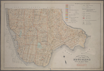
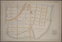
Outline and Index Map of the …
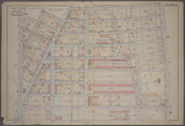
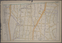
Plate 2: [Bounded by E. 144th…
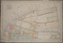
Plate 3: [Bounded by River Av…
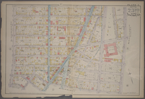
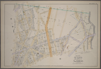
Plate 5: [Bounded by E. 154th…
Plate 7: [Bounded by St. Anns…
Plate 8: [Bounded by E. 164th…
Plate 9: [Bounded by E. 168th…
Plate 10: [Bounded by E. 170t…
Plate 11: [Bounded by E. 161s…
Plate 14: [Bounded by Sherida…
Plate 16: [Bounded by E. 167t…
Plate 17: [Bounded by E. 149t…
Plate 18: [Bounded by E. 138t…
Plate 19: [Bounded by Bungay …
Plate 20: [Bounded by Dongan …
Plate 21: [Bounded by Winslow…
Plate 1: [Bounded by E. 137th…
Plate 4: [Bounded by Cromwell…
Plate 6: [Bounded by E. 162nd…
Plate 12: [Bounded by Devoe S…
Plate 13: [Bounded by Depot P…
Plate 15: [Bounded by Boston …
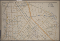
New York
note:
Lawrence
H
. Slaughter Collection ; 340.
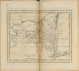
A map of New England, New Yor…
note:
Copy in Map Div. 97-6460: Lawrence
H
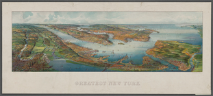
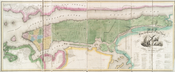
Greatest New York , [panorami…
note:
H
. Wellge, sk.
m
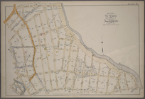
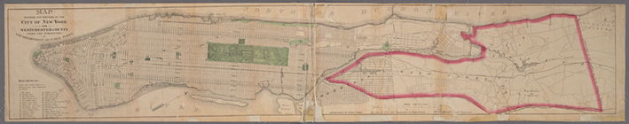
Robinson's map of New York Ci…
note:
drawn by Roger
H
. Pidgeon.
… Engineering ; Wm.
H
. Grant
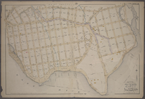
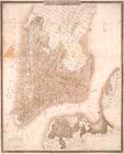
City of New-York
note:
by David
H
. Burr.
… and R.
H
. Pidgeon - E
Freight terminal map of New Y…
note:
Geo.
H
. Walker & Co.
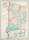
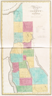
Map of the county of Columbia
note:
th. 1829 by David
H
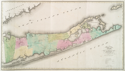
Map of the county of Suffolk
note:
th. 1829 by David
H
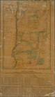
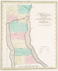
Map of the counties of Dutche…
note:
th. 1829 by David
H
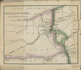
Falls of Niagara and adjacent…
note:
Copy in Map Div. 97-6445 in Lawrence
H
Map of the counties of Dutche…
note:
…
H
. Burr of the state
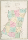
Map of the county of Westches…
note:
…
H
. Burr of the State
[South of 14th Street] Part o…
Map of the county of Greene
note:
th. 1829 by David
H
Map of the County of Renssela…
note:
th. 1829 by David
H
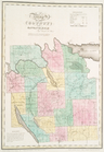
Map of the county of Montgome…
note:
th. 1829 by David
H
Map of the county of Saratoga
note:
th. 1829 by David
H
Map of the city and county of…
note:
th. 1829 by David
H
Map of the county of Oneida
note:
th. 1829 by David
H
Map of the county of Madison
note:
th. 1829 by David
H
Map of the county of Onondaga
note:
th. 1829 by David
H
Map of the county of Cayuga
note:
th. 1829 by David
H
Map of the county of Seneca
note:
th. 1829 by David
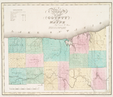
H
Map of the county of Wayne
note:
th. 1829 by David
H
Map of the county of Monroe
note:
th. 1829 by David
H
Map of the county of Orleans
note:
th. 1829 by David
H
1
2
Previous
Next
1
2
Previous
Next