Click to visit the main New York Public Library Homepage
The New York Public Library
Digital Collections
About Digital Collections
Browse
Search only public domain materials
Items
Collections
Divisions
Home
Search
Browse
About
Search only public domain materials
Items
Collections
Divisions
Digital Collections
Using Images
Using Data
Search
Filtered keyword search
Show filters
Hide filters
Show Only Public Domain
topic
Streets
3
Parks
2
Planning
2
City planning
1
Ferries
1
More
Less
name
Risse, Louis A
3
Grant, Wm. H. (William H.)
1
Greiffenberg, Frederick, 1843-1921
1
Holahan, Maurice F
1
Julius Bien & Co
1
More
Less
collection
Maps of New York City and State
7
place
x
New York (N.Y.)
New York (State)
7
New York
5
Manhattan (New York, N.Y.)
4
Bronx (New York, N.Y.)
1
More
Less
genre
Maps
7
Topographic maps
3
Cadastral maps
1
publisher
Board of Public Improvements, Topographical Bureau
2
Board of Public Improvements, Topographical Bureau, 1900 (N.Y. : Robert A. Welcke, photo-lith.)
1
Department of Public Parks
1
Julius Bien & Co. Lith.,
1
Robert A. Welcke, Photo-Lith
1
More
Less
division
Map Division
7
type
cartographic
7
Date Range
to
7 results found for:
x
New York (N.Y.). Topographical Bureau
Filtering on:
x
Place
: New York (N.Y.)
Sort by:
Relevance
Title
Date created
Date digitized
Sequence
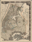
Map of the City of
New
York
and vicinity
use:
… partner (e.g.,
New
York
m
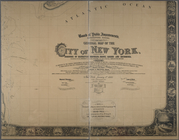
General map of the city of
New
York
use:
… partner (e.g.,
New
York
m
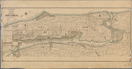
Property identification map o…
use:
… partner (e.g.,
New
York
Map or plan showing the stree…
use:
… partner (e.g.,
New
York
m
… of the city of
New
York
use:
… partner (e.g.,
New
York
… the report of the
Bureau
of Civil and
Topographical
use:
… partner (e.g.,
New
York
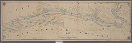
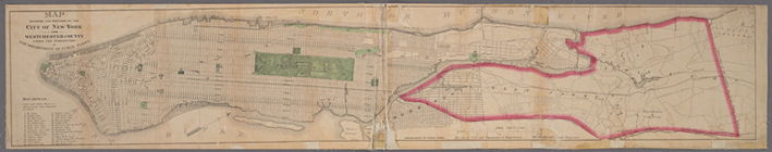
… the portions of the City of
New
York
and Westchester
use:
… partner (e.g.,
New
York