Click to visit the main New York Public Library Homepage
The New York Public Library
Digital Collections
About Digital Collections
Browse
Search only public domain materials
Items
Collections
Divisions
Home
Search
Browse
About
Search only public domain materials
Items
Collections
Divisions
Digital Collections
Using Images
Using Data
Search
Filtered search
Show filters
Hide filters
Show Only Public Domain
topic
Nautical charts
3
Coasts
1
Discoveries in geography
1
Harbors
1
name
L'Isle, Guillaume de, 1675-1726
4
Blaeu, Joan, 1596-1673
2
Blaeu, Willem Janszoon, 1571-1638
2
Condet, Johannes, 1711-1781
2
Cóvens et Mortier
2
More
Less
collection
Lawrence H. Slaughter Collection of English maps, charts, globes, books and atlases
9
Maps of North America
8
Maps of North and South America
1
place
North America
6
Early works to 1800
5
Maps
5
America
3
Florida -- Maps -- Early works to 1800
3
More
Less
genre
Maps
18
publisher
Chés Ian Bt. Elwe,
2
J. and C. Blaeu,
2
A. van der Kroe?,
1
By Johannis van Keulen, boek en zee kaart verkoper, aande Niewe Brugh, inde Gekroonde Lootsman,
1
Chez Covéns & Mortier & Covéns, Junior,
1
More
Less
division
Map Division
18
type
cartographic
18
Date Range
to
18 results found
Filtering on:
x
Place term
: Amsterdam :
x
Rights
: Public Domain
Sort by:
Title
Date created
Date digitized
Sequence
Nieuwe wassende graade zee ka…
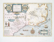
Virginiae partis australis, e…
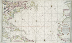
Ocean Atlantique, ou, Mer du …
Terra nova, ac maris tractus …
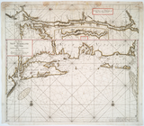
Pas-Kaart vande zee kusten va…
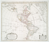
L'Amérique septentrionale
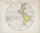
Hemisphere occidental dresse …
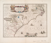
Virginiae item et Floridae Am…
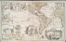
Carte d'Amerique, divisées en…
Virginiae partis australis, e…
Virginiae item et Floridae Am…
Plan der stad Washington : be…
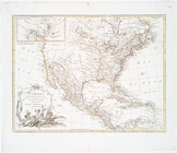
Amerique septentrionale divis…
Amerique septentrionale divis…
Amerique septentrionale divis…
L'Amerique septentrionale : d…
L'Amérique septentrionale : d…
Carte nouvelle de la mer du S…
End of results
|
Top