Click to visit the main New York Public Library Homepage
The New York Public Library
Digital Collections
About Digital Collections
Browse
Search only public domain materials
Items
Collections
Divisions
Home
Search
Browse
About
Search only public domain materials
Items
Collections
Divisions
Digital Collections
Using Images
Using Data
Search
Keyword search
Show filters
Hide filters
Show Only Public Domain
topic
Geography
35
Colonies
16
Nautical charts
10
World War, 1914-1918
8
Atlases
7
More
Less
name
Jomard, M. (Edme-François), 1777-1862
90
Napoleon I, Emperor of the French, 1769-1821
90
Dépôt de la guerre (France)
51
Jacotin, Pierre, 1765-1827
51
Coignet, Michel, 1549-1623
27
More
Less
collection
Description de l'Égypte: ou, Recueil des observations et des recherches qui ont été faites en Égypte pendant l'expédition de l'armée française
90
Lawrence H. Slaughter Collection of English maps, charts, globes, books and atlases
69
Atlases, gazetteers, guidebooks and other books
35
Maps of North America
34
Kelly Miller's history of the world war for human rights: being an intensely human and brilliant account of the world war and why and for what purpose America and the allies are fighting and the important part taken by the Negro, including the horrors and wonders of modern warfare, the new and strange devices, etc. ... by Kelly Miller ... illustrated with 128 genuine pictures from recent official photographs, also outline map drawings
8
More
Less
place
Egypt
90
France
53
North America
36
America
24
Great Britain
24
More
Less
genre
Maps
283
Prints
34
Nautical charts
30
Illustrations
21
Topographic maps
11
More
Less
publisher
Impr. impériale
90
Printed for Ieames Shawe, and are to be solde at his shoppe nigh Ludgate,
27
... Sold ... by Tho. Bowles, print and map-seller in St. Paul's-Churchyard
8
Austin Jenkins Co
8
Chapman and Hall
5
More
Less
division
Map Division
168
Rare Book Division
98
Wallach Division: Print Collection
17
General Research Division
13
Schomburg Jean Blackwell Hutson Research and Reference Division
13
More
Less
type
cartographic
284
still image
47
text
14
sound recording
1
Date Range
to
322 results found for:
France map
Sort by:
Relevance
Title
Date created
Date digitized
Sequence
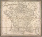
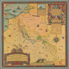
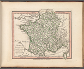
Nouvelle carte itinéraire de la
France
par
collection:
Maps
of Europe
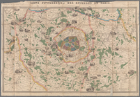
Carte pittoresque des environ…
collection:
Maps
of Europe
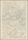
Cessières
abstract:
World War 1, French Trench
Map
Set, Cessieres
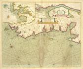
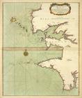
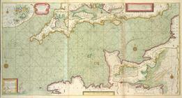
The sea coast of
FRANCE
from Ushent
Paris, ses monuments : guide …
image:
psnypl_
map
_302
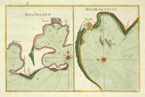
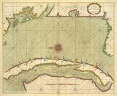
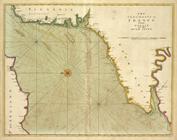
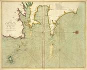
Bay of Touloun ; Bay of Marce…
The sea-coast of
FRANCE
from Havre de
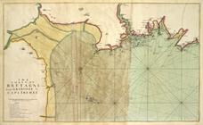
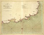
The coast of BRETAGNE from th…
The coast of BRETAGNE from Po…
Der Sieg im Westen
collection:
Maps
of Europe
… La
France
nouuelle, la
France
insulaire
note:
… to Early
Maps
of the Middle
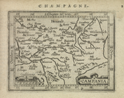
Campania.
note:
… to Early
Maps
of the Middle
Partie occidentale de la Nouvelle
France
note:
… to Early
Maps
of the Middle
The sea coasts of
FRANCE
from Olwne to Cape
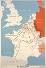
The great war
map
of battle line in
France
note:
…, not colored, in
Map
Division
A new
map
note:
… of
maps
.
… of
France
at Brest
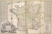
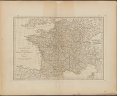
A new and exact
map
of
France
divided into all
note:
… to Early
Maps
of the Middle
A new
map
note:
… of
maps
.
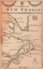
Champlain's
map
of New
France
1632
note:
Mapping
the Nation (NEH grant, 2015-2018)…
France
divided into one hundred and four
topic:
Maps
in education
Carte de la Nouvelle
France
augmentée
note:
…. The
mapping
of North America : a list of printed
maps
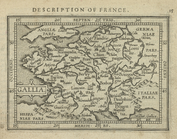
Gallia.
note:
… to Early
Maps
of the Middle
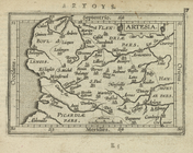
Artesia.
note:
… to Early
Maps
of the Middle
Substances minérales utiles d…
topic:
Maps
A new
map
of ye
note:
… the
map
was issued.
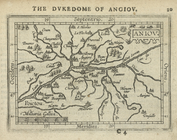
Aniov.
note:
… to Early
Maps
of the Middle
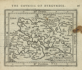
Burgundia Comitatus.
note:
… to Early
Maps
of the Middle
A
Map
of the British and French
Map
of roads
France
, divided into military governments
topic:
Maps
in education
Canada, or, New
France
note:
… to Early
Maps
of the Middle
Carte du Canada ou de la Nouvelle
France
note:
… to Early
Maps
of the Middle
m
A new
map
note:
… to Early
Maps
of the Middle
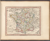
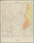
France
, divided into military governments
m
Map
of Clermont-Ferrand ;
Map
of Nice.
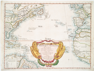
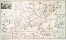
An accurate
map
of the British, French & Spanish
note:
Phillips.
Maps
of America, p. 579, p. 1056
Carte routière de l'Indochine…
collection:
Maps
of Asia
Carte routière de l'Indochine…
collection:
Maps
of Asia
Lower right section of a shee…
collection:
Maps
of Asia
Carte réduite des côtes orien…
note:
… to Early
Maps
of the Middle
Carte routière de l'Indochine…
note:
NYPL
Map
Div. copy imperfect: a piece of
map
The sea coast of the Island S…
… between ENGLAND and
FRANCE
The sea-coasts of
FRANCE
from Calais
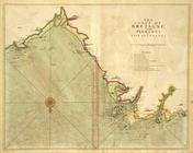
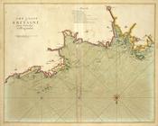
The coast of BRETAGNE from GR…
The coast of BRETAGNE from Pl…
The coast of BRETAGNE from I …
The coast of BRETAGNE from Pl…
The coast of BRETAGNE includi…
1
2
Previous
Next
1
2
Previous
Next